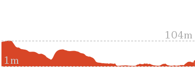
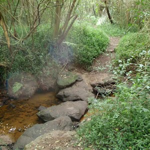
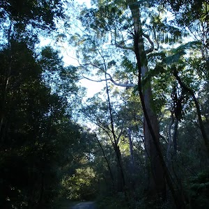
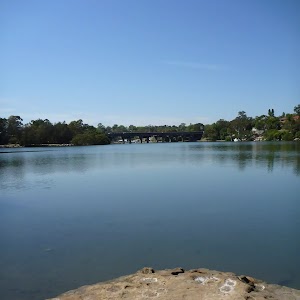
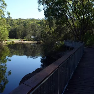
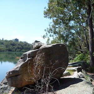
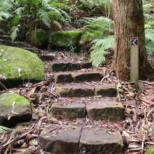
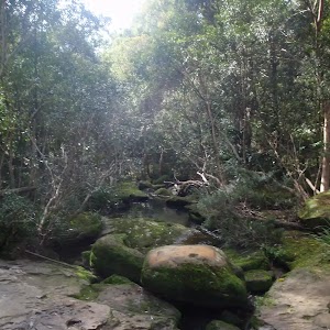
Lane Cove National Park


516 m Return
15 mins
Moderate track
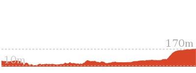
717 m Circuit
20 mins
Very easy

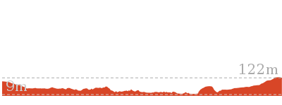
978 m Return
30 mins
Easy track
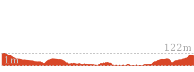
1.3 km Return
1 Hr
Moderate track
1.3 km One way
30 mins
Moderate track
1.5 km Return
45 mins
Moderate track
1.5 km Circuit
1 Hr
Moderate track
2.6 km One way
1 Hr
Moderate track

2.6 km One way
1 Hr
Hard track
2.7 km Circuit
1 Hr
Moderate track

2.8 km Return
1 Hr
Moderate track
3.2 km Return
1 hr 30 mins
Moderate track
3.3 km Circuit
1 hr 30 mins
Moderate track
3.4 km Return
1 hr 30 mins
Moderate track

4.1 km One way
1 hr 30 mins
Moderate track
4.3 km Circuit
1 hr 27 mins
Moderate track

4.4 km One way
1 hr 45 mins
Hard track
5.1 km One way
2 hrs
Hard track

5.3 km One way
2 hrs
Moderate track

5.3 km One way
2 hrs
Hard track
5.3 km Circuit
2 hrs 30 mins
Hard track

5.4 km One way
2 hrs
Hard track
5.5 km One way
2 hrs
Hard track

5.5 km Return
2 hrs
Moderate track

5.5 km One way
2 hrs 30 mins
Moderate track

5.8 km One way
2 hrs
Moderate track

5.9 km Return
2 hrs 30 mins
Moderate track
6 km One way
2 hrs 30 mins
Hard track

6 km One way
2 hrs 30 mins
Hard track
6.1 km One way
2 hrs 30 mins
Hard track
6.1 km One way
2 hrs 30 mins
Hard track
6.8 km One way
2 hrs 30 mins
Hard track

6.9 km Circuit
2 hrs 30 mins
Hard track

7.2 km One way
2 hrs 45 mins
Moderate track
7.5 km Circuit
3 hrs
Hard track

8 km One way
3 hrs
Hard track
8.2 km Circuit
3 hrs
Hard track
8.4 km One way
3 hrs 15 mins
Hard track


8.4 km Circuit
3 hrs
Moderate track


8.9 km One way
3 hrs 30 mins
Hard track

9.7 km One way
3 hrs 45 mins
Hard track
10.2 km One way
3 hrs 45 mins
Moderate track
10.3 km One way
3 hrs 45 mins
Hard track

10.7 km One way
4 hrs 30 mins
Hard track

11.2 km Circuit
4 hrs
Hard track

11.6 km One way
4 hrs 30 mins
Hard track

11.7 km One way
4 hrs 15 mins
Hard track

11.9 km Circuit
5 hrs
Hard track


12.2 km One way
4 hrs 30 mins
Hard track
13.3 km One way
4 hrs 30 mins
Hard track

16.3 km One way
6 hrs
Hard track
17.5 km One way
6 hrs 45 mins
Hard track


18.1 km One way
6 hrs 45 mins
Hard track

20.6 km One way
8 hrs
Hard track

25.8 km One way
2 Days
Hard track

33 km One way
2 Days
Hard track


44.4 km One way
3 Days
Hard track