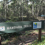
Mambara Track


20 mins

23 m
Very easy
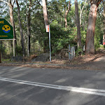


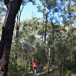


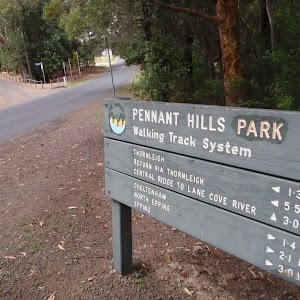
Pennant Hills Park

(0km) Pennant Hills Park entry → Mambara loopback int.

70 m
1 mins
0m
-4m
Very easy


(0.07km) Mambara loopback int. → Mambara turning area int.
290 m
5 mins
5m
-12m
Very easy
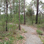
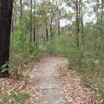
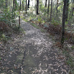
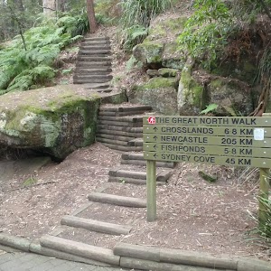
Continue straight: From the intersection, this walk follows the concrete path gently up over a rise[18] (keeping the road to your right). After about 15m this walk leads gently downhill and soon bends left[19]. This walk continues along the path for about 70m past a ‘Bush Recycling’ sign[20] (on the left) to come to a 4-way intersection[21] (with two dirt tracks on the right).
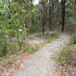
Continue straight: From the intersection, this walk heads distinctly but gently downhill[22] along the concrete path as the track bends left. This walk then gently meanders downhill for about 20m through the open forest[23], passing a potential trip hazard on the path. This walk then continues for about 35m along the path which soon bends right[24], then comes to a sharp left hand bend[25]. Half way through the bend there is a 3-way intersection with a dirt track[26] (on the right).

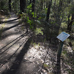
(0.36km) Mambara turning area int. → Mambara loopback int.
280 m
6 mins
14m
-6m
Very easy
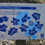
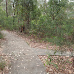
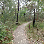
Continue straight: From the intersection, this walk heads gently uphill (keeping the main valley to your right), following the concrete path as it bends to the left[31]. This walk continues gently uphill for about 230m, passing the ‘Sunshine On My Shoulder’[32], ‘Up In The Trees’[33] and ‘Bush Webs – Pieces Of A Puzzle’[34] signs (all on the right) as it meanders through the open forest[35] to come to a sharp left bend[36] (ignoring the intersection with a dirt track on the right). After another 20m this walk comes to a 3-way intersection, marked with an arrow post[37].
(0.64km) Mambara loopback int. → Pennant Hills Park entry
70 m
1 mins
4m
0m
Very easy
Maps for the Mambara Track walk
You can download the PDF for this walk to print a map.These maps below cover the walk and the wider area around the walk, they are worth carrying for safety reasons.
| Hornsby | 1:25 000 Map Series | 91304S HORNSBY | NSW-91304S |
| Sydney | 1:100 000 Map Series | 9130 SYDNEY | 9130 |
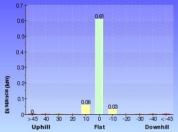
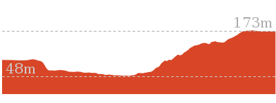
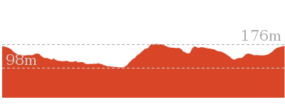
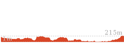
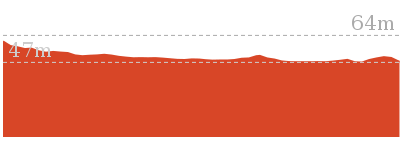
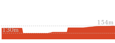
Cross sectional view of the Mambara Track bushwalking track
Analysis and summary of the altitude variation on the Mambara Track
Accessibility summary information for the Mambara Track
Toilets: There are 0 designated accessible toilets on this walk.
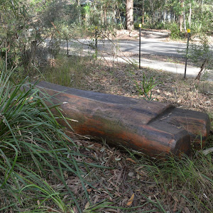
Seats: There are 1 places to sit on this walk.
Hazards: There are 1 specific noteable accessability related hazards on this walk.
Trip Hazard A 4cm trip hazard from a raised concrete slab. Found about 310m into the walk.
Accessibility Details


Overview of this walks grade – based on the AS 2156.1 – 2001
Under this standard, a walk is graded based on the most difficult section of the walk.
| Length | 717 m | ||
| Time | 20 mins | ||
| . | |||
| Grade 1/6 Very easy |
AS 2156.1 | Gradient | Flat, no steps (1/6) |
| Quality of track | Smooth and hardened path (1/6) | ||
| Signs | Clearly signposted (1/6) | ||
| Experience Required | No experience required (1/6) | ||
| Weather | Weather generally has little impact on safety (1/6) | ||
| Infrastructure | Generally useful facilities (such as fenced cliffs and seats) (1/6) |
Some more details of this walks Grading
Here is a bit more details explaining grading looking at sections of the walk
Gradient
This whole walk, 720m is flat with no steps.
Quality of track
This whole walk, 720m follows a smooth and hardened path.
Signs
This whole walk, 720m is clearly signposted.
Experience Required
This whole walk, 720m requires no previous bushwalking experience.
weather
This whole walk, 720m is not usually affected by severe weather events (that would unexpectedly impact safety and navigation).
Infrastructure
This whole walk, 720m is close to useful facilities (such as fenced cliffs and seats).
Similar walks

5.3 km One way
2 hrs
Moderate track
8.2 km Circuit
3 hrs
Hard track
Other Nearby walks
6.6 km Circuit
2 hrs 30 mins
Hard track

35.9 km One way
2 Days
Hard track

15.5 km One way
6 hrs
Hard track

10.2 km One way
4 hrs
Hard track

28.1 km One way
2 Days
Hard track
6.1 km One way
2 hrs 30 mins
Hard track

516 m Return
15 mins
Moderate track
2.8 km Return
1 Hr
Moderate track
3.2 km Return
1 hr 30 mins
Moderate track
2.7 km Circuit
1 Hr
Moderate track

619 m One way
30 mins
Moderate track
529 m One way
15 mins
Moderate track

Plan your trip to and from the walk here
The Mambara Track walk starts and ends at the Pennant Hills Park entry (gps: -33.743568, 151.07829)Your transport options to Pennant Hills Park entry are by;
(get details)


Short URL = http://wild.tl/m
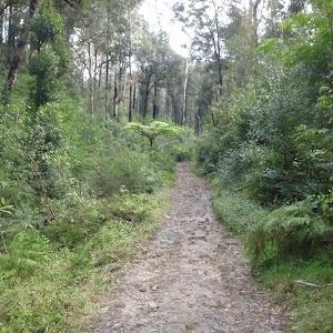
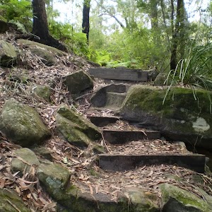
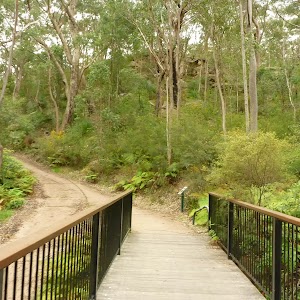
Gallery images
There are other downloads I am still working on.
You will probably need to login to access these — still all free.
* KML (google earth file)
* GPX (GPS file)
Special Maps/ brochures
* A3 topo maps
* PDF with Lands Topo map base
* PDF with arial image (and map overlay)
I wanted to get the main site live first, this extra stuff will come in time.
Happy walking
Matt 🙂
Comments