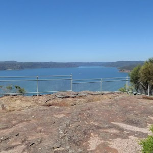
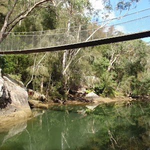
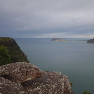
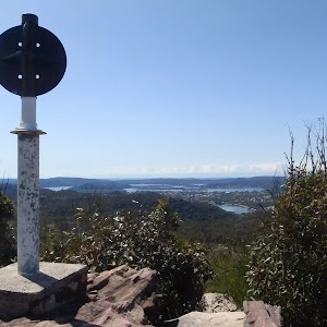
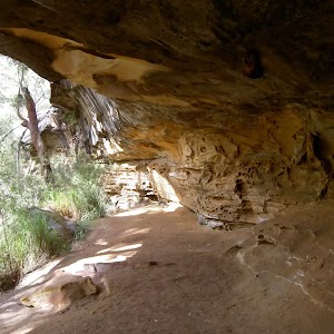
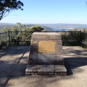
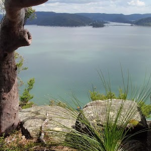
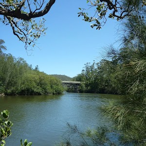
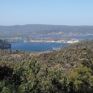
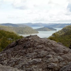
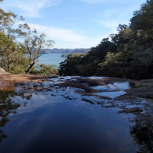
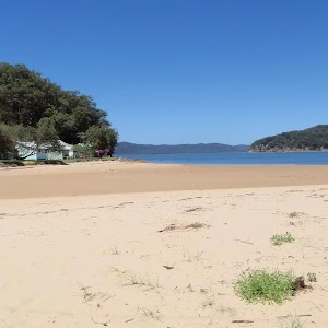
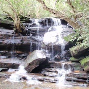
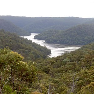
Brisbane Water National Park

378 m Return
10 mins
Easy track

426 m Return
20 mins
Moderate track

756 m Return
20 mins
Easy track
800 m Return
20 mins
Very easy
803 m Circuit
20 mins
Moderate track
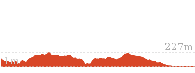
1.1 km Circuit
30 mins
Moderate track
1.4 km Return
30 mins
Easy track
1.4 km Circuit
45 mins
Moderate track

2.2 km One way
1 Hr
Moderate track
2.8 km One way
1 hr 15 mins
Moderate track
4.2 km Circuit
2 hrs
Moderate track

4.3 km Return
2 hrs
Moderate track
4.3 km One way
1 hr 45 mins
Moderate track
5.1 km Return
2 hrs
Moderate track
5.8 km Return
2 hrs 30 mins
Hard track
8.1 km Return
3 hrs 30 mins
Hard track
9.5 km One way
4 hrs
Hard track
10.1 km One way
4 hrs 15 mins
Hard track

10.8 km Circuit
4 hrs 30 mins
Hard track

11.5 km Return
6 hrs
Experienced only
12.3 km One way
5 hrs 30 mins
Hard track

15.4 km One way
6 hrs
Hard track
15.5 km One way
5 hrs 45 mins
Hard track
16.1 km One way
6 hrs 30 mins
Experienced only

16.1 km One way
6 hrs
Hard track

17 km One way
6 hrs 30 mins
Hard track
18.1 km One way
7 hrs 30 mins
Experienced only
18.1 km Return
8 hrs
Hard track
19.5 km One way
7 hrs 30 mins
Hard track
20 km Circuit
7 hrs 30 mins
Moderate track

20.7 km One way
8 hrs 30 mins
Hard track
24 km One way
8 hrs 30 mins
Experienced only

24.8 km One way
10 hrs
Hard track

24.8 km One way
2 Days
Hard track

26.2 km One way
10 hrs
Hard track
26.2 km One way
2 Days
Hard track

28.1 km One way
2 Days
Experienced only
41.5 km One way
3 Days
Hard track