Pindar Cave


6 hrs

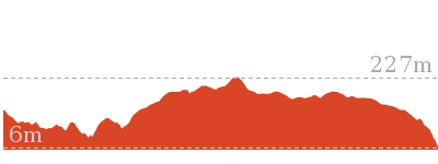
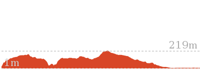
493 m
Experienced only

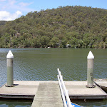


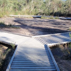
Wondabyne
(0km) Wondabyne Station → Clearing above Wondabyne Station

440 m
13 mins
100m
-15m
Hard track
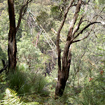
(0.44km) Clearing above Wondabyne Station → Eastern end of the Pindar Cave Track
1 km
19 mins
72m
-3m
Hard track
(1.47km) Int. Rifle Range Service Track and Pindar Cave Track → Mt Pindar Lookout
3.5 km
1 hr 12 mins
129m
-129m
Hard track
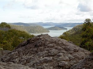
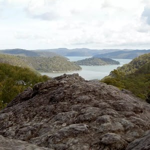
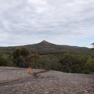
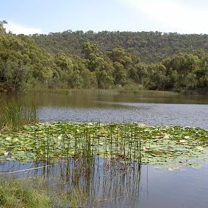
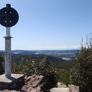
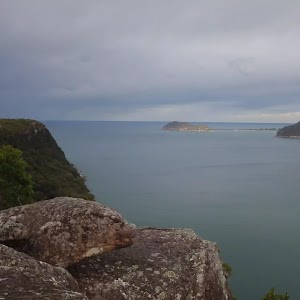
Mt Pindar lookout
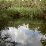
(4.97km) Mt Pindar Lookout → Pool
480 m
9 mins
2m
-25m
Experienced only
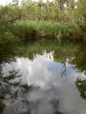
Pindar Pool
(5.45km) Pool → Pindar Cave
320 m
6 mins
12m
-6m
Experienced only
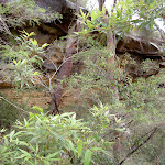
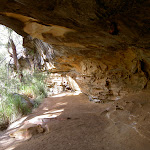
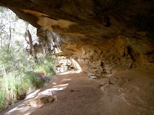
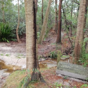
Pindar Cave
(5.77km) Pindar Cave → Waterfall
570 m
12 mins
10m
-57m
Very experienced only
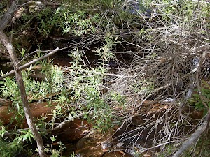
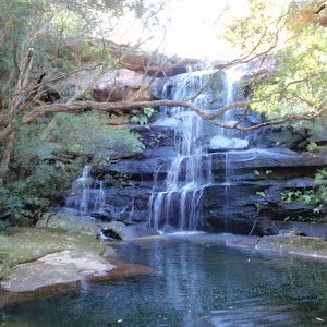
Pindar Waterfall
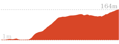
Maps for the Pindar Cave walk
You can download the PDF for this walk to print a map.These maps below cover the walk and the wider area around the walk, they are worth carrying for safety reasons.
| Gunderman | 1:25 000 Map Series | 91313S GUNDERMAN | NSW-91313S |
| Gosford | 1:25 000 Map Series | 91312S GOSFORD | NSW-91312S |
| Gosford | 1:100 000 Map Series | 9131 GOSFORD | 9131 |
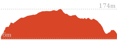
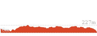
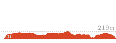
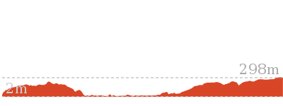
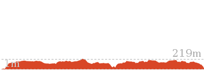
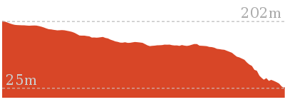
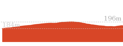
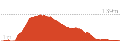
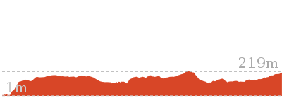
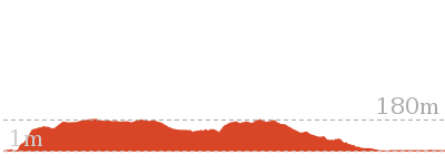
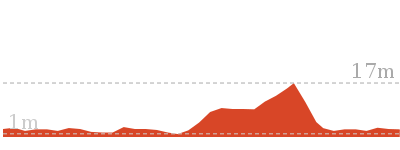
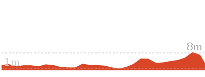
Cross sectional view of the Pindar Cave bushwalking track
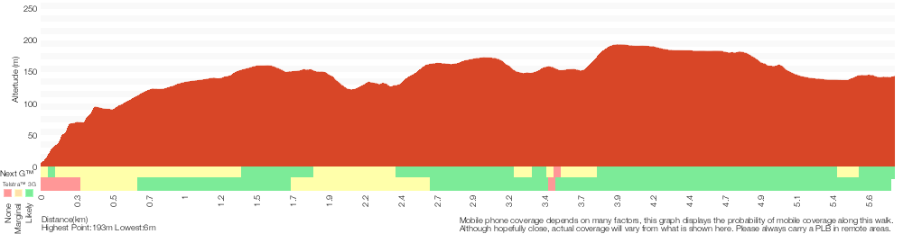
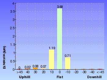
Analysis and summary of the altitude variation on the Pindar Cave
Overview of this walks grade – based on the AS 2156.1 – 2001
Under this standard, a walk is graded based on the most difficult section of the walk.
| Length | 11.5 km | ||
| Time | 6 hrs | ||
| . | |||
| Grade 5/6 Experienced only |
AS 2156.1 | Gradient | Very steep (4/6) |
| Quality of track | Rough unclear track (5/6) | ||
| Signs | No directional signs (5/6) | ||
| Experience Required | Moderate level of bushwalking experience recommended (4/6) | ||
| Weather | Weather generally has little impact on safety (1/6) | ||
| Infrastructure | Limited facilities (such as cliffs not fenced, significant creeks not bridged) (4/6) |
Some more details of this walks Grading
Here is a bit more details explaining grading looking at sections of the walk
Gradient
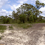
Around 5km of this walk is very steep, whilst the remaining 320m has short steep hills.
Quality of track
3.5km of this walk follows a rough track, where fallen trees and other obstacles are likely and another 1km follows a clear and well formed track or trail. Whilst another 800m follows a rough unclear track and the remaining 440m follows a formed track, with some branches and other obstacles.
Signs
3.5km of this walk has minimal directional signs and another 1.5km has directional signs at most intersection. The remaining (800m) Has no directional signs.
Experience Required
4.5km of this walk requires some bushwalking experience and another 800m requires a leader a with moderate level of bushwalking experience. The remaining (440m) requires no previous bushwalking experience.
weather
This whole walk, 6km is not usually affected by severe weather events (that would unexpectedly impact safety and navigation).
Infrastructure
4.3km of this walk has limited facilities (such as cliffs not fenced, significant creeks not bridged) and another 1km has limited facilities (such as not all cliffs fenced). The remaining (440m) is close to useful facilities (such as fenced cliffs and seats).
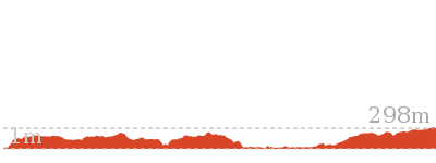
Similar walks
8.1 km Return
3 hrs 30 mins
Hard track
9.5 km One way
4 hrs
Hard track
10.1 km One way
4 hrs 15 mins
Hard track

15.4 km One way
6 hrs
Hard track
18.1 km One way
7 hrs 30 mins
Experienced only
19.5 km One way
7 hrs 30 mins
Hard track
24 km One way
8 hrs 30 mins
Experienced only

26.2 km One way
10 hrs
Hard track
26.2 km One way
2 Days
Hard track

28.1 km One way
2 Days
Experienced only
33.4 km One way
2 Days
Hard track

Other Nearby walks
5.8 km Return
2 hrs 30 mins
Hard track
10.8 km Circuit
4 hrs 30 mins
Hard track

800 m Return
20 mins
Very easy
16.1 km One way
6 hrs
Hard track

4.3 km One way
1 hr 45 mins
Moderate track
41.5 km One way
3 Days
Hard track
17 km One way
6 hrs 30 mins
Hard track
4.3 km Return
2 hrs
Moderate track
15.5 km One way
5 hrs 45 mins
Hard track
931 m Circuit
30 mins
Moderate track
1.4 km Return
30 mins
Very easy
1.4 km Return
30 mins
Easy track
Plan your trip to and from the walk here
The Pindar Cave walk starts and ends at the Wondabyne Station (gps: -33.492083, 151.25696)Your main transport option to Wondabyne Station is by;
Important Note: There is no car transport option to the start of this walk.


Short URL = http://wild.tl/pc
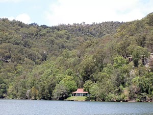
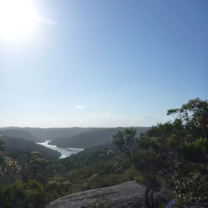
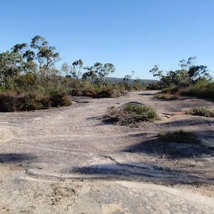
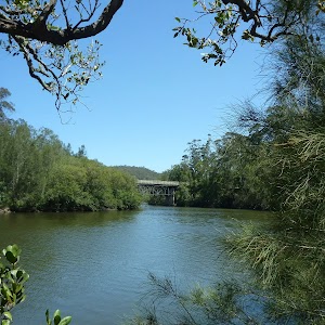
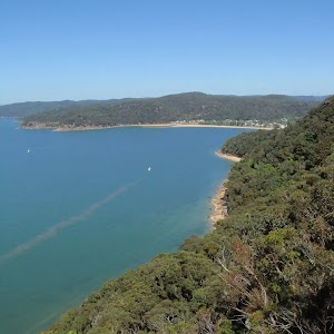
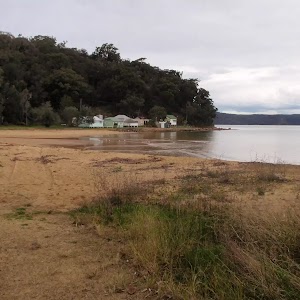
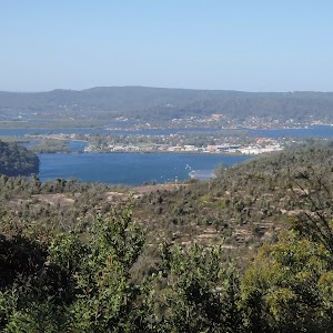
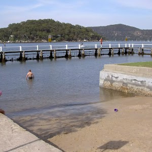
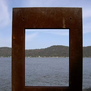
Gallery images
There are other downloads I am still working on.
You will probably need to login to access these — still all free.
* KML (google earth file)
* GPX (GPS file)
Special Maps/ brochures
* A3 topo maps
* PDF with Lands Topo map base
* PDF with arial image (and map overlay)
I wanted to get the main site live first, this extra stuff will come in time.
Happy walking
Matt 🙂
Comments