River Walk (Blue Lake)


1 hr 30 mins

216 m
Moderate track
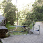
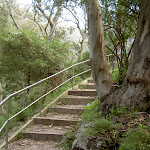


(0km) Grand Arch East → Blue Lake Access

110 m
5 mins
10m
-52m
Easy track
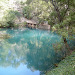
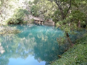
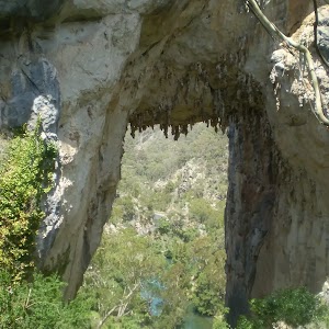
Blue Lake
(0.11km) Blue Lake Access → Jenolan Hydroelectric Station
1.1 km
27 mins
40m
-114m
Moderate track
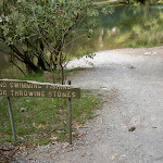
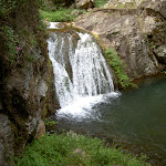
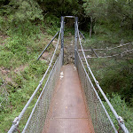
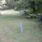
Continue straight: From the intersection, this walk rounds the hillside and down a suspended bridge. The walk winds to the bottom of a waterfall and continues above the creek (on the left) for a short time. The track then turns right, following the hillside around to comes to a bridge. The walk passes over the bridge then winds further around the hillside and banks of the creek to the old Jenolan Hydroelectric Power Station and picnic area.
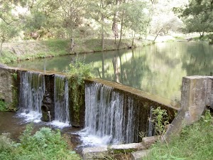
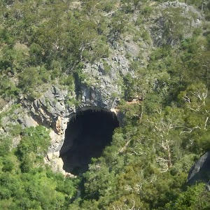
Jenolan Caves Hydroelectric Power Station
(1.26km) Jenolan Hydroelectric Station → Int. above bridge
1 km
25 mins
106m
-37m
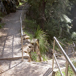
Moderate track
(2.31km) Int. above bridge → Grand Arch East
260 m
11 mins
60m
-13m
Moderate track
De Burghs Bridge

Maps for the River Walk (Blue Lake) walk
You can download the PDF for this walk to print a map.These maps below cover the walk and the wider area around the walk, they are worth carrying for safety reasons.
| Six Foot Track | 1:50 000 Map Series | Six Foot Track | NSW-six-foot-track |
| Jenolan | 1:25 000 Map Series | 89303N JENOLAN | NSW-89303N |
| Katoomba | 1:100 000 Map Series | 8930 KATOOMBA | 8930 |
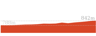
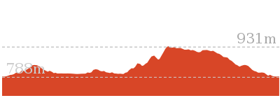
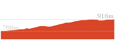
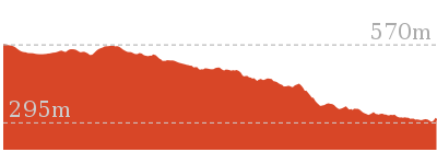
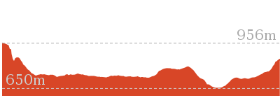
Cross sectional view of the River Walk (Blue Lake) bushwalking track
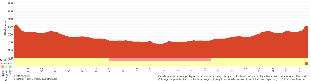
Analysis and summary of the altitude variation on the River Walk (Blue Lake)
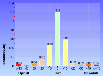
Overview of this walks grade – based on the AS 2156.1 – 2001
Under this standard, a walk is graded based on the most difficult section of the walk.
| Length | 2.6 km | ||
| Time | 1 hr 30 mins | ||
| . | |||
| Grade 3/6 Moderate track |
AS 2156.1 | Gradient | Short steep hills (3/6) |
| Quality of track | Clear and well formed track or trail (2/6) | ||
| Signs | Clearly signposted (1/6) | ||
| Experience Required | No experience required (1/6) | ||
| Weather | Weather generally has little impact on safety (1/6) | ||
| Infrastructure | Limited facilities, not all cliffs are fenced (3/6) |
Some more details of this walks Grading
Here is a bit more details explaining grading looking at sections of the walk
Gradient
Around 2.5km of this walk has short steep hills, whilst the remaining 110m has gentle hills with occasional steps.
Quality of track
This whole walk, 2.6km follows a clear and well formed track or trail.
Signs
This whole walk, 2.6km is clearly signposted.
Experience Required
This whole walk, 2.6km requires no previous bushwalking experience.
weather
This whole walk, 2.6km is not usually affected by severe weather events (that would unexpectedly impact safety and navigation).
Infrastructure
Around 2.3km of this walk is close to useful facilities (such as fenced cliffs and seats), whilst the remaining 260m has limited facilities (such as not all cliffs fenced).
Similar walks
Other Nearby walks
828 m Return
30 mins
Moderate track
3.5 km Circuit
2 hrs
Hard track
2.2 km Return
1 hr 9 mins
Moderate track
3.1 km Return
1 hr 30 mins
Hard track

4.6 km One way
2 hrs
Hard track

12.6 km Return
5 hrs 30 mins
Hard track
20 km Return
7 hrs
Moderate track

4.2 km Return
1 hr 45 mins
Hard track

11.7 km Return
8 hrs 45 mins
Experienced only
7.9 km Return
5 hrs
Hard track

29.2 km One way
2 Days
Experienced only


29.3 km One way
3 Days
Experienced only
Plan your trip to and from the walk here
The River Walk (Blue Lake) walk starts and ends at the Grand Arch East (gps: -33.819113, 150.02388)Your main transport option to Grand Arch East is by;
(get details)


Short URL = http://wild.tl/rwl
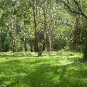
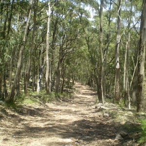
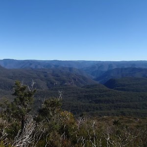
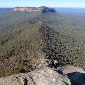
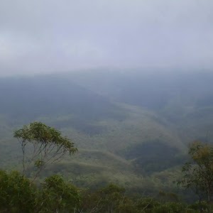
Gallery images
There are other downloads I am still working on.
You will probably need to login to access these — still all free.
* KML (google earth file)
* GPX (GPS file)
Special Maps/ brochures
* A3 topo maps
* PDF with Lands Topo map base
* PDF with arial image (and map overlay)
I wanted to get the main site live first, this extra stuff will come in time.
Happy walking
Matt 🙂
Comments