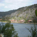
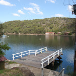
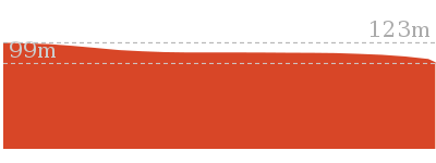
East Bantry Bay


2 hrs

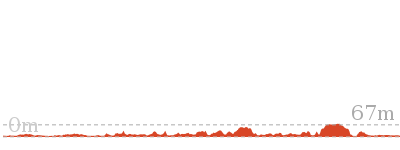
274 m
Hard track
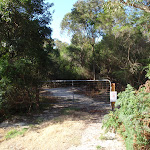


(0km) Start of Currie Road service trail → Int of Currie Road and Cannons Parade service trails

560 m
10 mins
10m
-16m
Moderate track
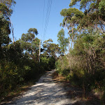
(0.56km) Int of Currie Road and Cannons Parade service trails → Int of Natural Bridge and Currie Road Tracks
350 m
6 mins
5m
-12m
Moderate track
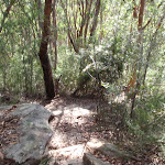
(0.91km) Int of Natural Bridge and Currie Road Tracks → Natural Bridge
250 m
6 mins
0m
-39m
Moderate track
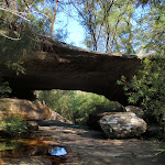
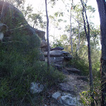
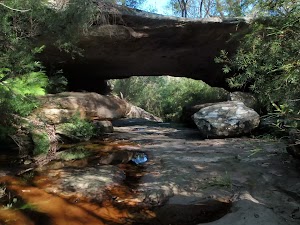
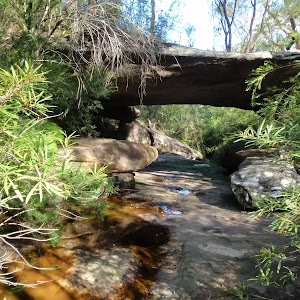
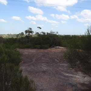
Natural Bridge
(1.16km) Natural Bridge → Int of Bluff and Natural Bridge Tracks
500 m
15 mins
71m
-1m
Hard track
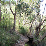
Veer right: From the intersection, this walk follows the bush track facing the track marker, heading south-east for a short distance before it coming to the signposted intersection of the Bluff Track at the service trail.
(1.66km) Int of Bluff and Natural Bridge Tracks → The Bluff Lookout
210 m
4 mins
0m
-11m
Moderate track
Continue straight: From the intersection, this walk follows the service trail (with the bush track on the left) heading south through the bush for a while before it comes to the Bluff Lookout at the signposted intersection of “The Bay Track”, looking down on Bantry Bay and the magazine buildings.
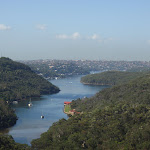
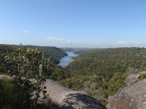
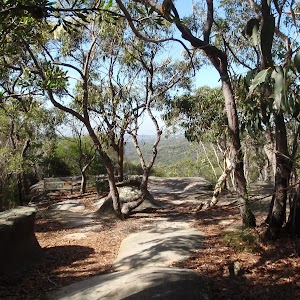
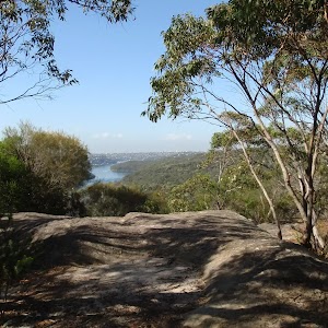
Bluff Lookout
(1.87km) The Bluff Lookout → Bantry Bay Picnic Area
1.8 km
48 mins
77m
-166m
Hard track
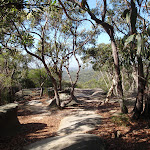
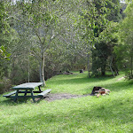
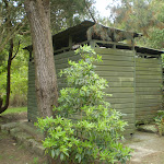
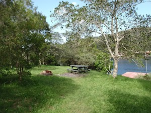
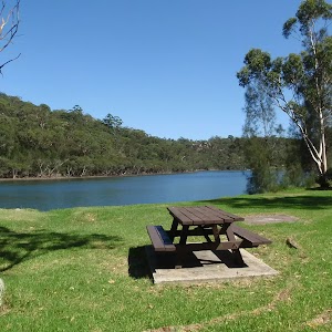
Bantry Bay Picnic Area
(3.7km) Bantry Bay Picnic Area → Int of the Timber Getters and Engraving Tracks
840 m
24 mins
109m
-9m
Hard track
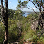
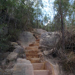
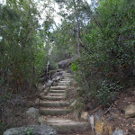
Continue straight: From the intersection (with the signposted Bullock Track on the left), this walk follows the bush track heading up the hill and up a set of wooden steps, continuing through the dense scrub as the track steadily winds up the long hill, passing a bush regeneration sign and climbing up some more steps to the signposted intersection with the Engraving Track[3].
(4.54km) Int of the Timbergetters and Engraving Tracks → Seaforth Oval
50 m
1 mins
2m
0m
Moderate track
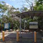
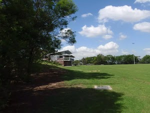
Seaforth Oval
Maps for the East Bantry Bay walk
You can download the PDF for this walk to print a map.These maps below cover the walk and the wider area around the walk, they are worth carrying for safety reasons.
| Parramatta River | 1:25 000 Map Series | 91303N PARRAMATTA RIVER | NSW-91303N |
| Sydney | 1:100 000 Map Series | 9130 SYDNEY | 9130 |
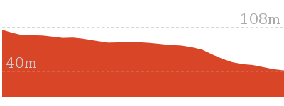
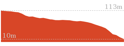
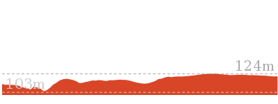
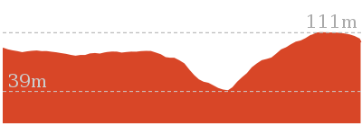
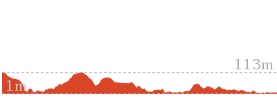
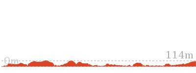
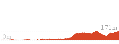
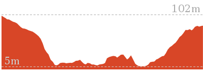
Cross sectional view of the East Bantry Bay bushwalking track
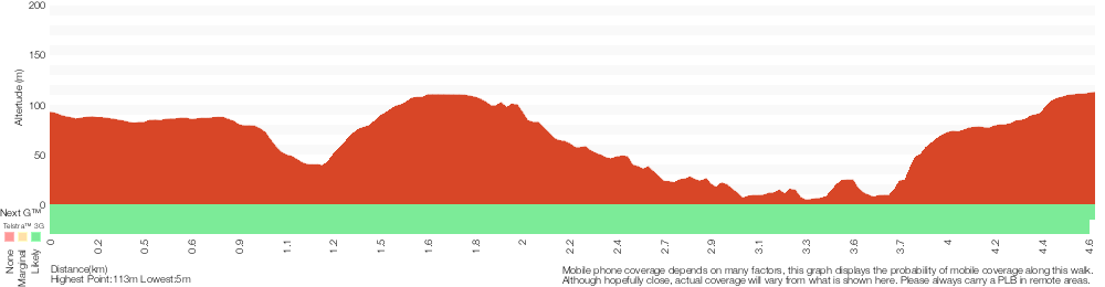
Analysis and summary of the altitude variation on the East Bantry Bay

Overview of this walks grade – based on the AS 2156.1 – 2001
Under this standard, a walk is graded based on the most difficult section of the walk.
| Length | 4.6 km | ||
| Time | 2 hrs | ||
| . | |||
| Grade 4/6 Hard track |
AS 2156.1 | Gradient | Very steep (4/6) |
| Quality of track | Formed track, with some branches and other obstacles (3/6) | ||
| Signs | Directional signs along the way (3/6) | ||
| Experience Required | Some bushwalking experience recommended (3/6) | ||
| Weather | Weather generally has little impact on safety (1/6) | ||
| Infrastructure | Limited facilities, not all cliffs are fenced (3/6) |
Some more details of this walks Grading
Here is a bit more details explaining grading looking at sections of the walk
Gradient
2.8km of this walk is very steep and another 1.2km is flat with no steps. The remaining (640m) has short steep hills.
Quality of track
Around 3.2km of this walk follows a formed track, with some branches and other obstacles, whilst the remaining 1.3km follows a clear and well formed track or trail.
Signs
Around 3.2km of this walk is clearly signposted, whilst the remaining 1.4km has directional signs at most intersection.
Experience Required
Around 2.8km of this walk requires some bushwalking experience, whilst the remaining 1.8km requires no previous bushwalking experience.
weather
This whole walk, 4.6km is not usually affected by severe weather events (that would unexpectedly impact safety and navigation).
Infrastructure
Around 2.8km of this walk has limited facilities (such as not all cliffs fenced), whilst the remaining 1.8km is close to useful facilities (such as fenced cliffs and seats).
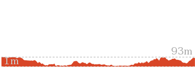
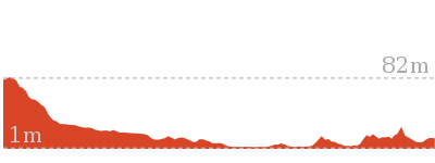
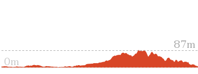
Similar walks
986 m Return
30 mins
Moderate track
1.4 km Return
45 mins
Moderate track

1.8 km Return
1 Hr
Hard track
2.2 km One way
45 mins
Moderate track
3.7 km Return
1 hr 30 mins
Hard track
4.5 km Return
1 hr 30 mins
Hard track

5.4 km Return
3 hrs
Hard track

7.2 km One way
3 hrs
Moderate track

10 km One way
4 hrs 30 mins
Hard track


10 km One way
4 hrs
Hard track
11.2 km One way
4 hrs 30 mins
Hard track
22.6 km One way
9 hrs 45 mins
Hard track
Other Nearby walks
3.4 km One way
1 hr 30 mins
Moderate track

7 km Return
3 hrs 45 mins
Moderate track

7 km Circuit
2 hrs 30 mins
Hard track
3.8 km One way
1 hr 45 mins
Hard track

14.1 km One way
5 hrs 30 mins
Moderate track
15.1 km Circuit
5 hrs 45 mins
Experienced only
5.3 km Return
2 hrs
Moderate track
516 m Return
20 mins
Moderate track
2 km Return
1 hr 15 mins
Hard track

3.8 km One way
1 hr 30 mins
Hard track

2.6 km One way
1 hr 15 mins
Hard track
11.5 km One way
4 hrs 30 mins
Hard track

Plan your trip to and from the walk here
The East Bantry Bay walk starts at the Start of Currie Road service trail (gps: -33.760107, 151.22467)Your transport options to Start of Currie Road service trail are by;
(get details)
The East Bantry Bay ends at the Seaforth Oval (gps: -33.781957, 151.23724)
Your transport options to Seaforth Oval are by;
(get details)


Short URL = http://wild.tl/ebb
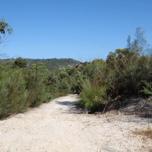
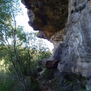
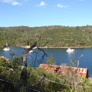
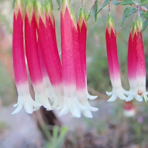
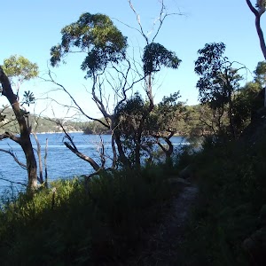
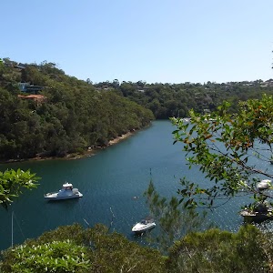
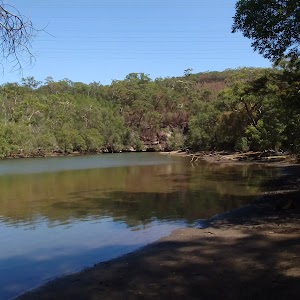
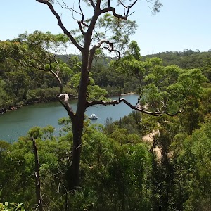
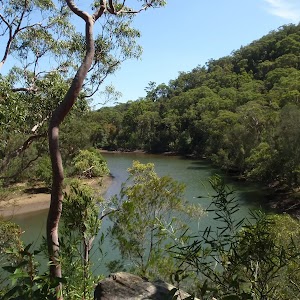
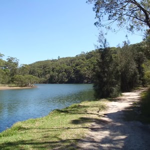
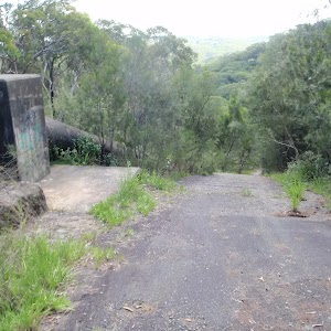
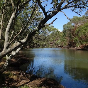
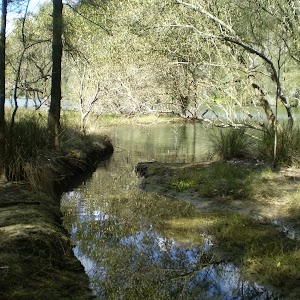
Gallery images
There are other downloads I am still working on.
You will probably need to login to access these — still all free.
* KML (google earth file)
* GPX (GPS file)
Special Maps/ brochures
* A3 topo maps
* PDF with Lands Topo map base
* PDF with arial image (and map overlay)
I wanted to get the main site live first, this extra stuff will come in time.
Happy walking
Matt 🙂
Comments