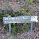
Dubbo Gully and Ten Mile Hollow Circuit (via Clares Bridge)


2 Days

1117 m
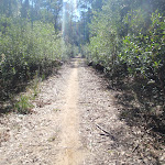
Hard track


(0km) Dubbo Gully Rd car park → Upper Mangrove cemetery

3.6 km
1 hr 24 mins
140m
-310m
Moderate track
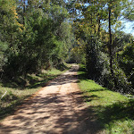
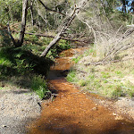
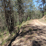
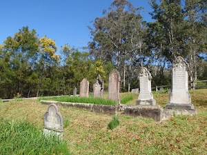
Continue straight: From the intersection, the walk follows the management trail (now Ten Mile Hollow Rd) and immediately crosses the longer bridge (leaving the shorter bridge with a gate to the right). The walk meanders along the trail for some time, passing an old ‘134’ sign to the right and a few old orange trees to the left. Soon after passing under some high voltage power lines, the walk arrives at a historic cemetery.
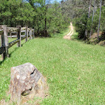
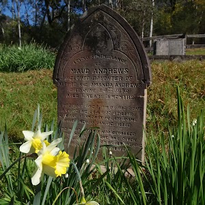
Upper Mangrove Cemetery
(3.6km) Upper Mangrove cemetery → Int of Ten Mile Hollow Rd and Donnys track
740 m
15 mins
27m
-21m
Moderate track
(4.35km) Int of Ten Mile Hollow Rd and Donnys track → Int below Fairview Homestead
810 m
15 mins
19m
-22m
Moderate track
(5.15km) Int below Fairview Homestead → Fairview Homestead
120 m
3 mins
10m
-2m
Moderate track
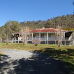
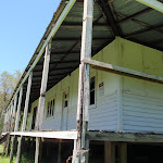
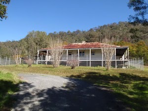
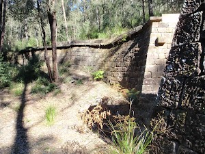
Fairview
(5.15km) Int below Fairview Homestead → Int of Ten Mile Hollow Rd and Simpsons track
2.5 km
47 mins
60m
-66m
Moderate track
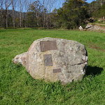
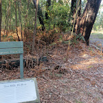
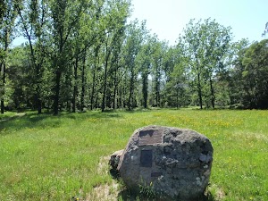
Convict Trail plaque and log book
(7.7km) Int of Ten Mile Hollow Rd and Simpsons track → Simpsons Cave
2.4 km
49 mins
135m
-70m
Moderate track
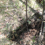
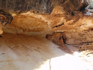
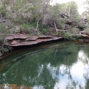
Simpsons Cave
(10.07km) Simpsons Cave → Ten Mile Hollow
2.5 km
47 mins
108m
-39m
Moderate track
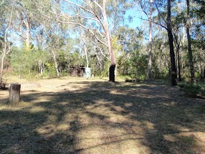
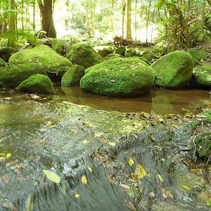
Ten Mile Hollow
End of day 1
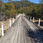
(12.57km) Ten Mile Hollow → Clares Bridge
1.2 km
22 mins
33m
-6m
Moderate track
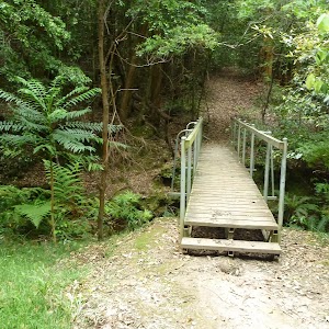
Clares Bridge
(13.78km) Clares Bridge → Int of the OGNR and Donnys track
790 m
21 mins
75m
-27m
Moderate track
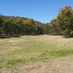
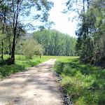
Continue straight: From the intersection, this walk follows the OGNR up the gentle hill, keeping the valley to the right. Soon, the trail leads to a large clearing and four-way intersection, with a sign pointing back to ‘Clare’s Bridge’[17].
(14.58km) Int of the OGNR and Donny’s track → Donny’s View
3.9 km
1 hr 27 mins
136m
-217m
Hard track
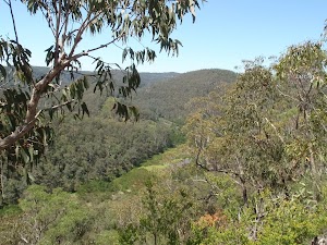
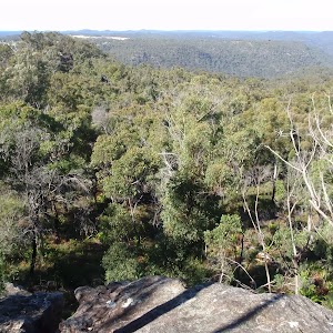
Donny’s View
(18.46km) Donny’s View → Dubbo Gully Rd car park
5.9 km
2 hrs 22 mins
384m
-337m
Moderate track
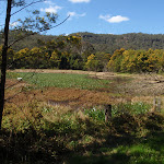
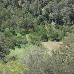
Veer left: From the intersection, the walk follows the management trail up the hill. After a short distance, the walk passes a large grassy clearing to the right and a swampy area to the left. The trail meanders along the valley for some time before arriving at a historic cemetery, on the right.
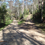
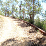
Continue straight: From the cemetery, the walk follows the management trail (Ten Mile Hollow Rd) up the hill, leaving the cemetery on the right, and soon passes under some high voltage power lines. The walk then meanders along the road for some time, passing some old orange trees on the right and an old ‘134’ sign on the left. Some distance later, the walk crosses an old timber bridge and arrives at the signposted intersection with the ‘Upper Mangrove Creek Rd’ (with a shorter bridge to the left).
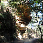
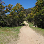
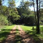
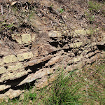
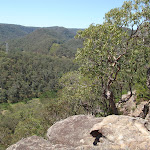
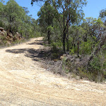
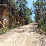
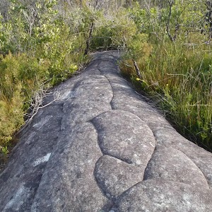
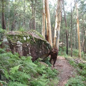
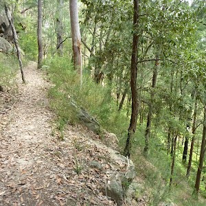
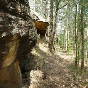
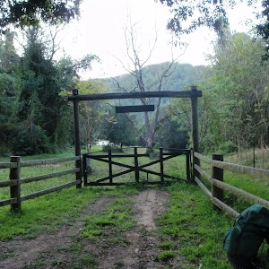
Continue straight: From the intersection, the walk follows the management trail up the hill (now Dubbo Gully Rd). The trail winds up the hill for a long while through some beautiful scenery, including some great rock formations and overhangs. The walk then passes around a gate and continues a little further up the hill to reach a small car park on the left (on Dubbo Gully Rd, a short distance off Waratah Rd, about 4km west of Mangrove Mountain).
Maps for the Dubbo Gully and Ten Mile Hollow Circuit (via Clares Bridge) walk
You can download the PDF for this walk to print a map.These maps below cover the walk and the wider area around the walk, they are worth carrying for safety reasons.
| Mangrove | 1:25 000 Map Series | 91313N MANGROVE | NSW-91313N |
| Gosford | 1:100 000 Map Series | 9131 GOSFORD | 9131 |
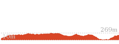
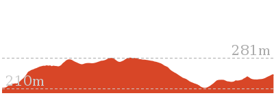
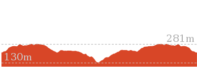
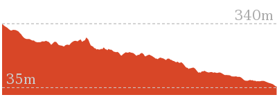
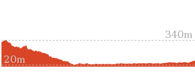
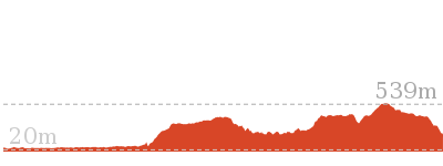
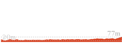
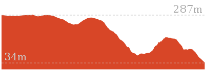
Cross sectional view of the Dubbo Gully and Ten Mile Hollow Circuit (via Clares Bridge) bushwalking track
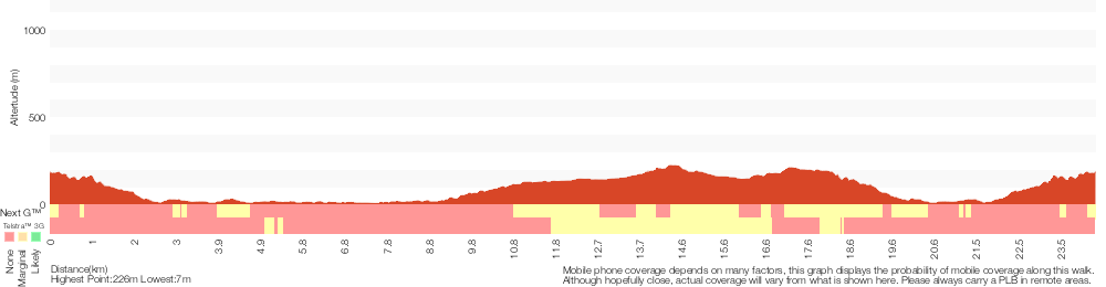
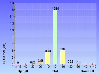
Analysis and summary of the altitude variation on the Dubbo Gully and Ten Mile Hollow Circuit (via Clares Bridge)
Daily actual walking time estimates
| Day | Walking Time | Length |
|---|---|---|
| 1 | 4 hrs 20 mins | 12.7 km |
| 2 | 4 hrs 32 mins | 11.8 km |
Overview of this walks grade – based on the AS 2156.1 – 2001
Under this standard, a walk is graded based on the most difficult section of the walk.
| Length | 24.3 km | ||
| Time | 2 Days | ||
| . | |||
| Grade 4/6 Hard track |
AS 2156.1 | Gradient | Very steep (4/6) |
| Quality of track | Formed track, with some branches and other obstacles (3/6) | ||
| Signs | Directional signs along the way (3/6) | ||
| Experience Required | Some bushwalking experience recommended (3/6) | ||
| Weather | Weather generally has little impact on safety (1/6) | ||
| Infrastructure | Limited facilities, not all cliffs are fenced (3/6) |
Some more details of this walks Grading
Here is a bit more details explaining grading looking at sections of the walk
Gradient
11km of this walk has short steep hills and another 9km has gentle hills with occasional steps. The remaining (3.9km) is very steep.
Quality of track
Around 23km of this walk follows a clear and well formed track or trail, whilst the remaining 1.2km follows a formed track, with some branches and other obstacles.
Signs
Around 18km of this walk has directional signs at most intersection, whilst the remaining 7km is clearly signposted.
Experience Required
Around 23km of this walk requires no previous bushwalking experience, whilst the remaining 1.2km requires some bushwalking experience.
weather
This whole walk, 24km is not usually affected by severe weather events (that would unexpectedly impact safety and navigation).
Infrastructure
Around 12km of this walk has limited facilities (such as not all cliffs fenced), whilst the remaining 12km is close to useful facilities (such as fenced cliffs and seats).
Similar walks
7.2 km Return
3 hrs 15 mins
Moderate track

27.3 km One way
2 Days
Hard track
28.3 km One way
2 Days
Moderate track

Other Nearby walks
11.2 km One way
4 hrs 30 mins
Hard track

15 km One way
5 hrs 30 mins
Hard track

8.3 km Return
3 hrs 15 mins
Moderate track
10.8 km Circuit
4 hrs 15 mins
Hard track
10.1 km Return
4 hrs 15 mins
Hard track

4.4 km Return
2 hrs
Hard track

5.6 km One way
2 hrs 45 mins
Hard track
8.1 km One way
3 hrs 30 mins
Hard track

17 km One way
6 hrs 30 mins
Hard track
33.7 km One way
2 Days
Hard track
11 km One way
3 hrs 30 mins
Easy track

6 km One way
2 hrs 30 mins
Hard track
Plan your trip to and from the walk here
The Dubbo Gully and Ten Mile Hollow Circuit (via Clares Bridge) walk starts and ends at the Dubbo Gully Rd car park (gps: -33.293017, 151.15119)Your main transport option to Dubbo Gully Rd car park is by;
(get details)


Short URL = http://wild.tl/dgatmhccb
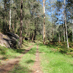
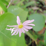
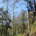
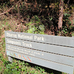
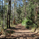
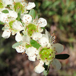
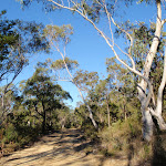
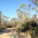
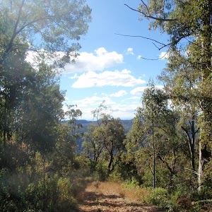
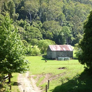
Gallery images
There are other downloads I am still working on.
You will probably need to login to access these — still all free.
* KML (google earth file)
* GPX (GPS file)
Special Maps/ brochures
* A3 topo maps
* PDF with Lands Topo map base
* PDF with arial image (and map overlay)
I wanted to get the main site live first, this extra stuff will come in time.
Happy walking
Matt 🙂
Comments