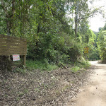
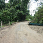
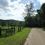
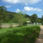
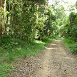
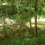
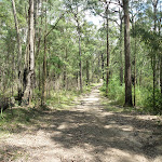
Ourimbah Valley Trackhead to Forest Road


4 hrs 30 mins

528 m
Hard track


(0km) Ourimbah Valley Trackhead → Int of Platypus Creek La and Ourimbah Creek Rd

1.8 km
32 mins
30m
-25m
Easy track
(1.85km) Int of Platypus Creek La and Ourimbah Creek Rd → Forty Acres
2 km
36 mins
39m
-43m
Moderate track
(3.83km) Forty Acres → Stringy Bark Point
1.8 km
33 mins
43m
-33m
Moderate track
Stringy Bark Point

(5.64km) Stringy Bark Point → Int of Great North Walk and Tooheys Road south
1.8 km
53 mins
237m
-42m
Hard track
(7.47km) Int of Great North Walk and Tooheys Road south → Int of Great North Walk and Tooheys Road north
2.3 km
52 mins
139m
-67m
Hard track
(9.78km) Int of Old GNW track and Tooheys Rd → Archers Campsite
160 m
3 mins
1m
-3m
Moderate track
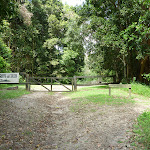
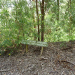
Archers Campsite

(9.93km) Archers Campsite → Archers Club House
160 m
3 mins
1m
-8m
Easy track
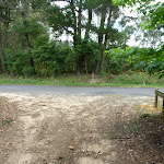
Archers Club House
(10.09km) Archers Club House → Int of Forest and Tooheys Rds
1.1 km
18 mins
38m
-1m
Easy track
(11.18km) Int of Forest and Tooheys Rds → Forest Park Country Retreat
960 m
16 mins
14m
-15m
Easy track
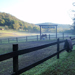
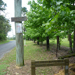
Forest Park Country Retreat
Maps for the Ourimbah Valley Trackhead to Forest Road walk
You can download the PDF for this walk to print a map.These maps below cover the walk and the wider area around the walk, they are worth carrying for safety reasons.
| Wyong | 1:25 000 Map Series | 91312N WYONG | NSW-91312N |
| Gosford | 1:100 000 Map Series | 9131 GOSFORD | 9131 |
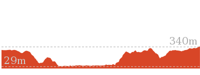
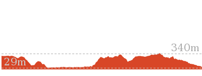
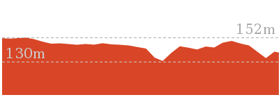
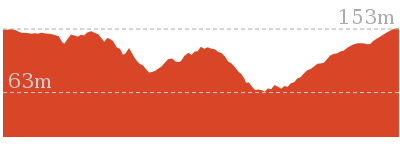
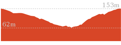
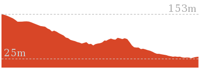
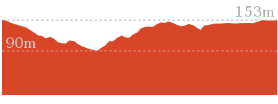
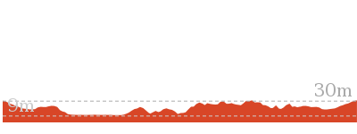
Cross sectional view of the Ourimbah Valley Trackhead to Forest Road bushwalking track
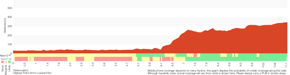
Analysis and summary of the altitude variation on the Ourimbah Valley Trackhead to Forest Road
Overview of this walks grade – based on the AS 2156.1 – 2001
Under this standard, a walk is graded based on the most difficult section of the walk.
| Length | 11.2 km | ||
| Time | 4 hrs 30 mins | ||
| . | |||
| Grade 4/6 Hard track |
AS 2156.1 | Gradient | Very steep (4/6) |
| Quality of track | Formed track, with some branches and other obstacles (3/6) | ||
| Signs | Directional signs along the way (3/6) | ||
| Experience Required | Moderate level of bushwalking experience recommended (4/6) | ||
| Weather | Weather generally has little impact on safety (1/6) | ||
| Infrastructure | Limited facilities, not all cliffs are fenced (3/6) |
Some more details of this walks Grading
Here is a bit more details explaining grading looking at sections of the walk
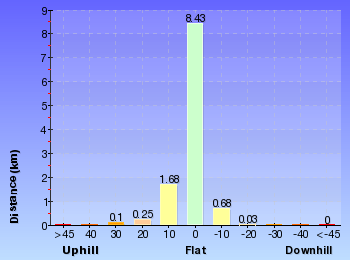
Gradient
6km of this walk has gentle hills with occasional steps and another 4.1km is very steep. The remaining (1.1km) is flat with no steps.
Quality of track
Around 9km of this walk follows a clear and well formed track or trail, whilst the remaining 1.8km follows a formed track, with some branches and other obstacles.
Signs
Around 8km of this walk has directional signs at most intersection, whilst the remaining 3.1km is clearly signposted.
Experience Required
7km of this walk requires no previous bushwalking experience and another 2.3km requires some bushwalking experience. The remaining (1.8km) requires a leader a with moderate level of bushwalking experience.
weather
This whole walk, 11km is not usually affected by severe weather events (that would unexpectedly impact safety and navigation).
Infrastructure
Around 7km of this walk is close to useful facilities (such as fenced cliffs and seats), whilst the remaining 4.1km has limited facilities (such as not all cliffs fenced).
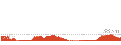
Similar walks
15 km One way
5 hrs 30 mins
Hard track

21.1 km One way
8 hrs
Hard track
26.7 km One way
2 Days
Hard track
47.4 km One way
3 Days
Hard track
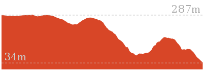
Other Nearby walks

6 km One way
2 hrs 30 mins
Hard track
1.7 km Return
45 mins
Moderate track
3 km Circuit
1 hr 30 mins
Moderate track
1.7 km Circuit
1 Hr
Moderate track
2.2 km One way
1 Hr
Moderate track
1.8 km Circuit
1 Hr
Moderate track
8.1 km Circuit
3 hrs 30 mins
Moderate track

2.3 km Circuit
1 Hr
Moderate track

3.3 km Circuit
1 hr 15 mins
Moderate track
8.1 km One way
3 hrs 30 mins
Hard track

426 m Return
20 mins
Moderate track

24.3 km Circuit
2 Days
Hard track

Plan your trip to and from the walk here
The Ourimbah Valley Trackhead to Forest Road walk starts at the Ourimbah Valley Trackhead (gps: -33.317427, 151.30012)Your main transport option to Ourimbah Valley Trackhead is by;
(get details)
The Ourimbah Valley Trackhead to Forest Road ends at the Int of Forest and Tooheys Rds (gps: -33.250845, 151.26955)
Your main transport option to Int of Forest and Tooheys Rds is by;
(get details)


Short URL = http://wild.tl/ovttfr
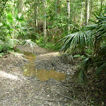
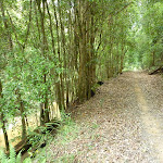
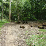
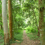
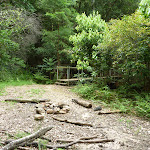
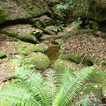
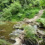
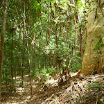
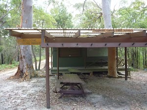
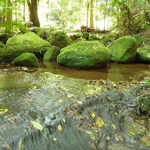
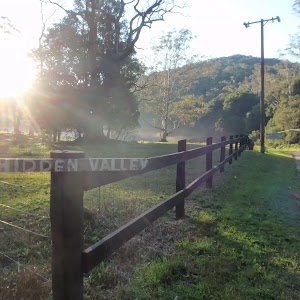
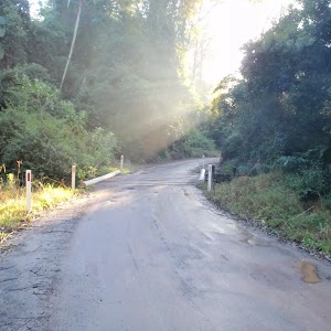
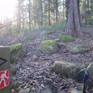
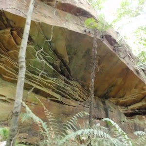
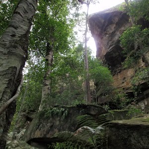
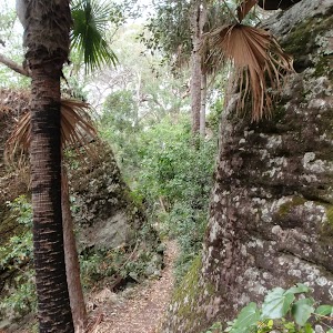
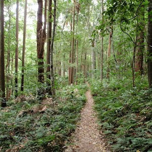
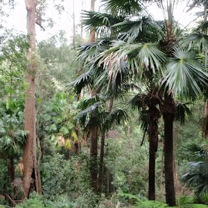
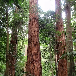
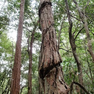
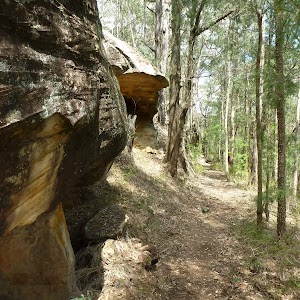
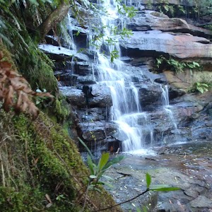
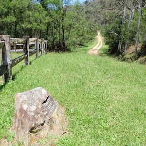
Gallery images
There are other downloads I am still working on.
You will probably need to login to access these — still all free.
* KML (google earth file)
* GPX (GPS file)
Special Maps/ brochures
* A3 topo maps
* PDF with Lands Topo map base
* PDF with arial image (and map overlay)
I wanted to get the main site live first, this extra stuff will come in time.
Happy walking
Matt 🙂
Comments