Black Duck Creek Circuit Walk


1 Hr

89 m
Moderate track


Blackbutt Reserve
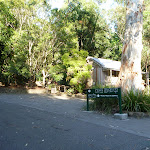
Carnley Ave Reserve
(0km) Carnley Avenue Reserve → Int of Blueberry Ash Walk & Carnley Trail

130 m
2 mins
9m
-1m
Easy track
(0.13km) Int of Blueberry Ash Walk and Carnley Trail → Int of Rain Forest Walk and Lookout Road
1.2 km
24 mins
72m
-25m
Easy track
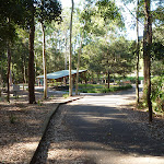
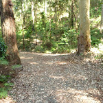
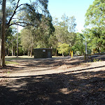
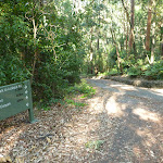
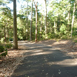
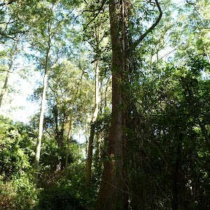
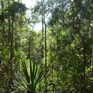
Turn left: From the intersection[31], this walk follows the ‘Main Ridge Walk to Lookout Rd Car Park’ sign[32] and sealed road gently downhill, while keeping the valley on your left. This walk continues, undulating for about 400m through attractive forest[33][34] until coming to a three-way intersection[35] with a road and brick buildings[36] (on the left) and yellow metal posts and a ‘Main Ridge Walk (Loop)’ sign[37][38] (on the right).
(1.32km) Rain Forest Walk & Main Ridge Walk → Int of Lookout Road & Main Ridge Trail
150 m
3 mins
0m
-9m
Moderate track
(1.47km) Int of Lookout Road & Main Ridge Trail → Int of Main Ridge Trail & Lookout Road
410 m
9 mins
4m
-42m
Easy track
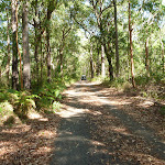
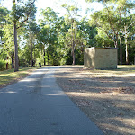
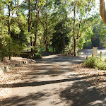
Continue straight: From the intersection[52], this walk follows the ‘Wildlife Exhibit’ sign[53] and sealed road gently downhill, while keeping the valley on the right. This walk continues, undulating for about 260m until coming to a three-way intersection[54], with a ‘Lookout Road Carpark’ sign[55] and gently uphill sealed road on the left.
(1.87km) Int of Main Ridge Trail & Lookout Road → Int of Boardwalk & Carnley Trail
230 m
5 mins
4m
-11m
Moderate track
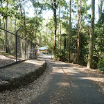
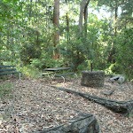
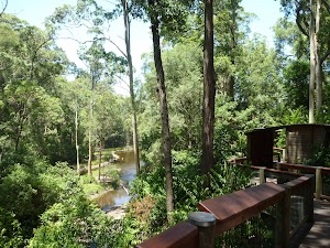
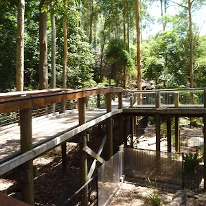
Veer left: From the intersection[64], this walk follows the sealed trail gently downhill, while initially keeping the ‘Animals’ sign[65] and elevated timber boardwalk[66] on the left. This walk continues for about 90m, passing an ‘Animals’ sign[67] and ‘Information’ sign (on the left) and concrete stairs (on the right), until coming to a three-way intersection[68][69], with a large timber fenced gate[70] (on the left).
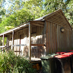
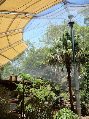
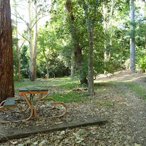
Blackbutt Wildlife Exhibits
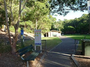
(2.1km) Int of Boardwalk & Carnley Trail → Carnley Avenue Reserve
20 m
0m
-2m
Very easy
Maps for the Black Duck Creek Circuit Walk walk
You can download the PDF for this walk to print a map.These maps below cover the walk and the wider area around the walk, they are worth carrying for safety reasons.
| Wallsend | 1:25 000 Map Series | 92323S WALLSEND | NSW-92323S |
| Newcastle | 1:100 000 Map Series | 9232 NEWCASTLE | 9232 |
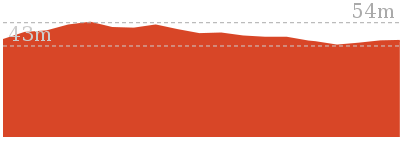
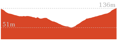
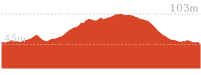
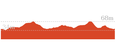
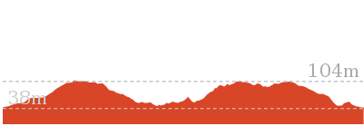
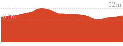
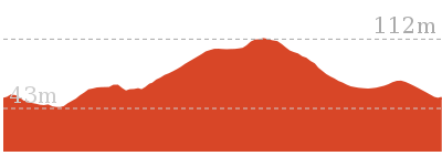
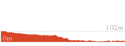
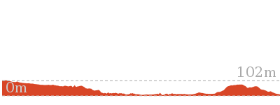
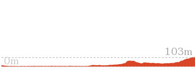
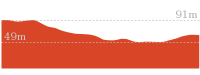
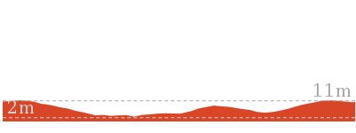
Cross sectional view of the Black Duck Creek Circuit Walk bushwalking track
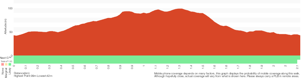
Analysis and summary of the altitude variation on the Black Duck Creek Circuit Walk
Overview of this walks grade – based on the AS 2156.1 – 2001
Under this standard, a walk is graded based on the most difficult section of the walk.
| Length | 2.1 km | ||
| Time | 1 Hr | ||
| . | |||
| Grade 3/6 Moderate track |
AS 2156.1 | Gradient | Gentle hills with occasional steps (2/6) |
| Quality of track | Clear and well formed track or trail (2/6) | ||
| Signs | Directional signs along the way (3/6) | ||
| Experience Required | No experience required (1/6) | ||
| Weather | Weather generally has little impact on safety (1/6) | ||
| Infrastructure | Generally useful facilities (such as fenced cliffs and seats) (1/6) |
Some more details of this walks Grading
Here is a bit more details explaining grading looking at sections of the walk
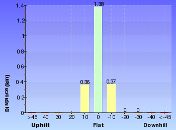
Gradient
Around 1.7km of this walk has gentle hills with occasional steps, whilst the remaining 390m is flat with no steps.
Quality of track
Around 1.2km of this walk follows a clear and well formed track or trail, whilst the remaining 930m follows a smooth and hardened path.
Signs
Around 1.8km of this walk is clearly signposted, whilst the remaining 280m has directional signs at most intersection.
Experience Required
This whole walk, 2.1km requires no previous bushwalking experience.
weather
This whole walk, 2.1km is not usually affected by severe weather events (that would unexpectedly impact safety and navigation).
Infrastructure
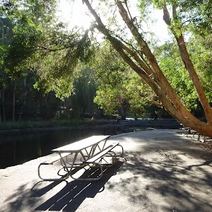
This whole walk, 2.1km is close to useful facilities (such as fenced cliffs and seats).
Similar walks
480 m Circuit
15 mins
Very easy
1.9 km Circuit
1 Hr
Moderate track
2 km Circuit
1 Hr
Moderate track
2.5 km Circuit
1 Hr
Moderate track

2.9 km Circuit
1 hr 15 mins
Moderate track
6 km Circuit
2 hrs 30 mins
Moderate track
6.5 km Circuit
2 hrs 30 mins
Moderate track

Other Nearby walks
731 m Circuit
30 mins
Very easy
2.8 km Circuit
1 hr 15 mins
Moderate track

2.7 km Circuit
1 Hr
Moderate track
7.9 km One way
2 hrs 45 mins
Hard track
12.1 km One way
5 hrs 30 mins
Hard track

1.3 km Return
40 mins
Easy track

4.4 km One way
1 hr 30 mins
Moderate track

13.3 km One way
4 hrs 30 mins
Moderate track
25.7 km One way
2 Days
Hard track

1.9 km One way
45 mins
Hard track
948 m Return
30 mins
Hard track

1.2 km Circuit
30 mins
Hard track
Plan your trip to and from the walk here
The Black Duck Creek Circuit Walk walk starts and ends at the Carnley Avenue Reserve (gps: -32.937008, 151.69804)Your transport options to Carnley Avenue Reserve are by;
(get details)


Short URL = http://wild.tl/bdccw
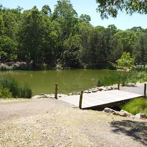
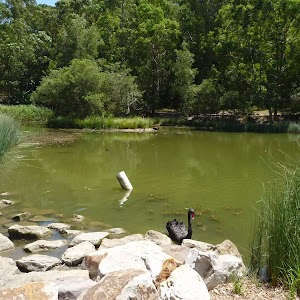
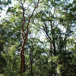
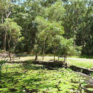
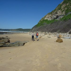
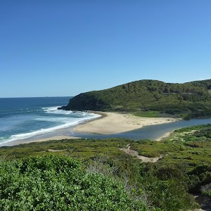
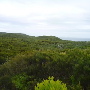
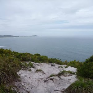
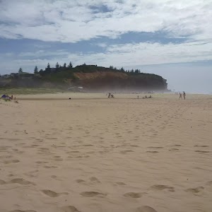
Gallery images
There are other downloads I am still working on.
You will probably need to login to access these — still all free.
* KML (google earth file)
* GPX (GPS file)
Special Maps/ brochures
* A3 topo maps
* PDF with Lands Topo map base
* PDF with arial image (and map overlay)
I wanted to get the main site live first, this extra stuff will come in time.
Happy walking
Matt 🙂
Comments