Northern Redhead Beach Walk


30 mins

15 m
Hard track


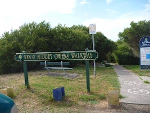
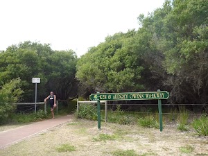
Ken & Audrey Owens Walkway
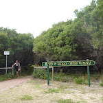
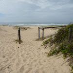
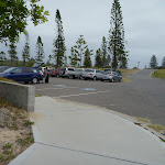
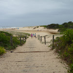
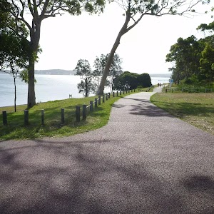
Webb Park Car Park and Picnic Area
(0km) Webb Park Car Park and Picnic Area → Webb Park Four-Way Intersection

160 m
3 mins
1m
-2m
Very easy
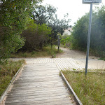
(0.16km) Webb Park Four-Way Intersection → Redhead Surf Life Saving Club
470 m
8 mins
4m
-7m
Hard track
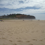
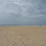
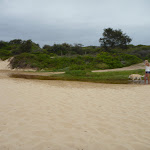
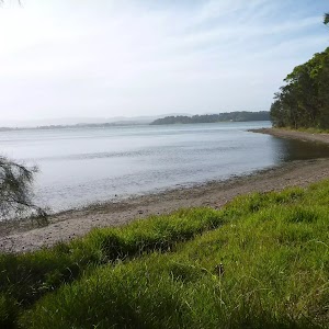
Turn left: From Redhead Beach (near Webb Park)[27], this walk follows the beach with the ocean on your right. This walk crosses Freshwater Creek (may be covered with sand) after about 60m and continues for about 230m, until coming to the Redhead Beach Surf Life Saving Club[28].
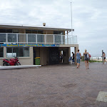
Redhead Surf Life Saving Club

(0.63km) Redhead Surf Life Saving Club → Redhead Car Park (Fresh Water Creek end)
190 m
3 mins
3m
-2m
Hard track
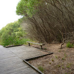
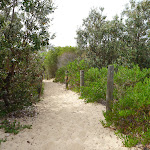
(0.82km) Redhead Car Park (Fresh Water Creek end) → Owens Walkway Intersection
180 m
3 mins
5m
-1m
Hard track
(1.01km) Webb Park Four-Way Intersection → Webb Park Car Park and Picnic Area
160 m
3 mins
2m
-1m
Very easy
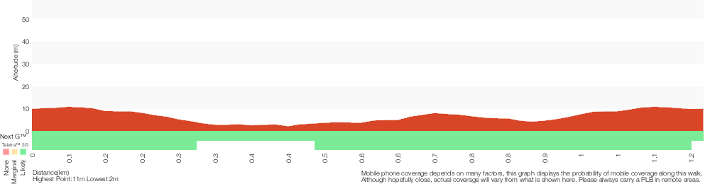
Maps for the Northern Redhead Beach Walk walk
You can download the PDF for this walk to print a map.These maps below cover the walk and the wider area around the walk, they are worth carrying for safety reasons.
| Swansea | 1:25 000 Map Series | 92314N SWANSEA | NSW-92314N |
| Lake Macquarie | 1:100 000 Map Series | 9231 LAKE MACQUARIE | 9231 |
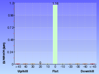
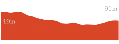
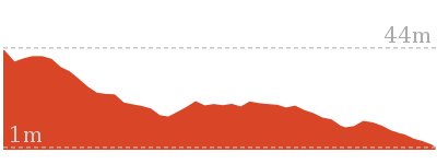
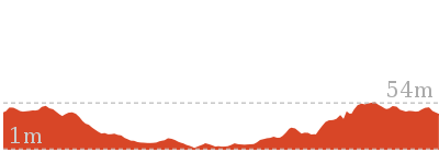
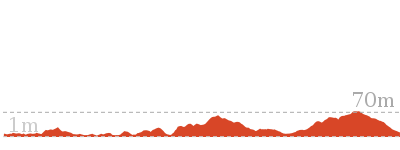
Cross sectional view of the Northern Redhead Beach Walk bushwalking track
Analysis and summary of the altitude variation on the Northern Redhead Beach Walk
Overview of this walks grade – based on the AS 2156.1 – 2001
Under this standard, a walk is graded based on the most difficult section of the walk.
| Length | 1.2 km | ||
| Time | 30 mins | ||
| . | |||
| Grade 4/6 Hard track |
AS 2156.1 | Gradient | Short steep hills (3/6) |
| Quality of track | Rough track, where fallen trees and other obstacles are likely (4/6) | ||
| Signs | Minimal directional signs (4/6) | ||
| Experience Required | Some bushwalking experience recommended (3/6) | ||
| Weather | Weather generally has little impact on safety (1/6) | ||
| Infrastructure | Limited facilities (such as cliffs not fenced, significant creeks not bridged) (4/6) |
Some more details of this walks Grading
Here is a bit more details explaining grading looking at sections of the walk
Gradient
Around 820m of this walk is flat with no steps, whilst the remaining 350m has short steep hills.
Quality of track
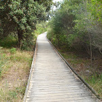
Around 660m of this walk follows a rough track, where fallen trees and other obstacles are likely, whilst the remaining 510m follows a smooth and hardened path.
Signs
Around 850m of this walk has minimal directional signs, whilst the remaining 320m is clearly signposted.
Experience Required
Around 660m of this walk requires some bushwalking experience, whilst the remaining 510m requires no previous bushwalking experience.
weather
This whole walk, 1.2km is not usually affected by severe weather events (that would unexpectedly impact safety and navigation).
Infrastructure
660m of this walk has limited facilities (such as cliffs not fenced, significant creeks not bridged) and another 320m is close to useful facilities (such as fenced cliffs and seats). The remaining (190m) has limited facilities (such as not all cliffs fenced).
Similar walks
2.4 km Return
1 Hr
Very easy

3.2 km Circuit
1 Hr
Hard track

Other Nearby walks
1.3 km Return
30 mins
Very easy

1.9 km One way
45 mins
Hard track
948 m Return
30 mins
Hard track

3.8 km Circuit
1 hr 30 mins
Hard track

666 m Circuit
30 mins
Moderate track

2.4 km Return
1 Hr
Moderate track
3.4 km Circuit
2 hrs 45 mins
Moderate track

3 km Return
1 hr 15 mins
Moderate track


1.3 km Return
40 mins
Easy track

7.7 km Circuit
3 hrs
Hard track
2.9 km One way
1 hr 15 mins
Hard track
2.4 km Circuit
1 Hr
Moderate track

Plan your trip to and from the walk here
The Northern Redhead Beach Walk walk starts and ends at the Webb Park Car Park and Picnic Area (gps: -33.013028, 151.71603)Your transport options to Webb Park Car Park and Picnic Area are by;
(get details)


Short URL = http://wild.tl/nrbw
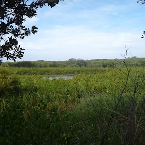
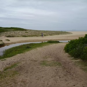
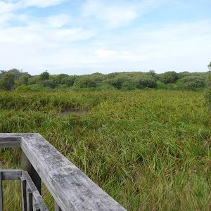
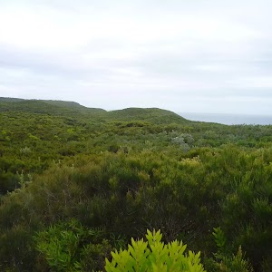
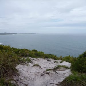
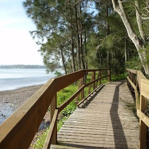
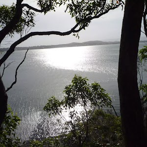
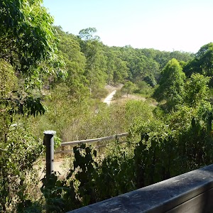
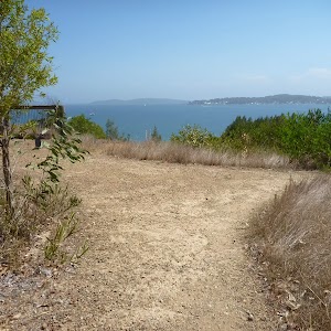
Gallery images
There are other downloads I am still working on.
You will probably need to login to access these — still all free.
* KML (google earth file)
* GPX (GPS file)
Special Maps/ brochures
* A3 topo maps
* PDF with Lands Topo map base
* PDF with arial image (and map overlay)
I wanted to get the main site live first, this extra stuff will come in time.
Happy walking
Matt 🙂
Comments