Wallarah Pennisula Walk


Wallarah Pennisula
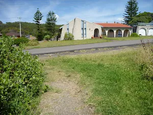
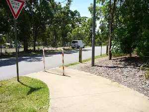
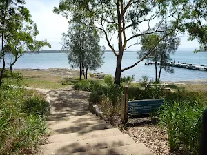
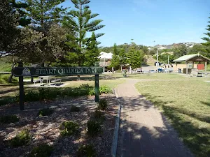
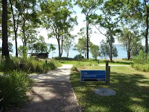
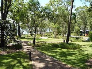
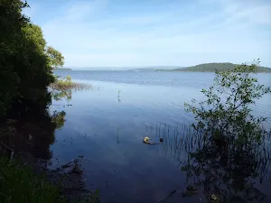
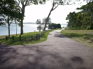
Stuart Chalmers Park
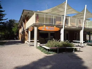
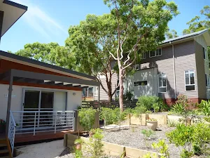
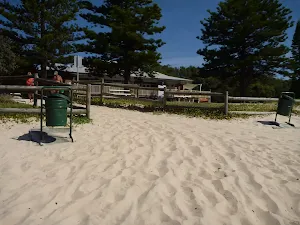
Caves Beach SLSC
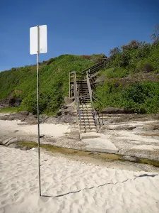
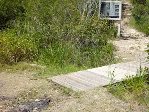
(0km) Cafe Acquablu on Caves Beach → Bottom of timber steps on Caves Beach
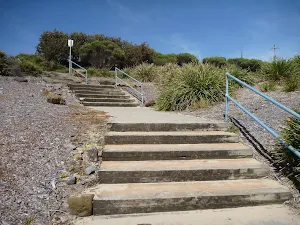
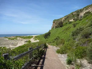
(0km) Bottom of timber steps on Caves Beach → Caves Beach Lookout
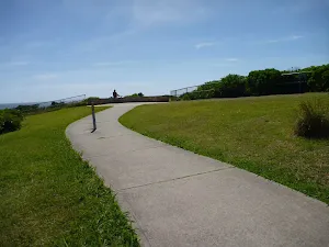
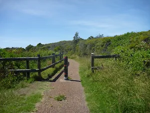
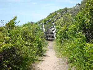
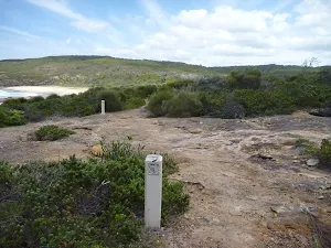
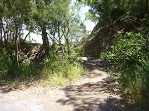
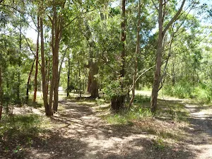
Turn left: From the intersection[16][17], this walk follows the footpath gently uphill[18], while keeping the downhill concrete steps[19] and beach on your left. This walk continues for about 60m until coming to a three-way intersection[20][21] with a concrete footpath on the right.
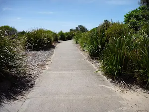
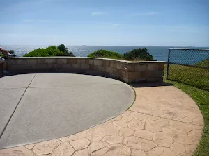
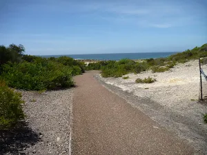
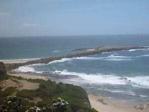
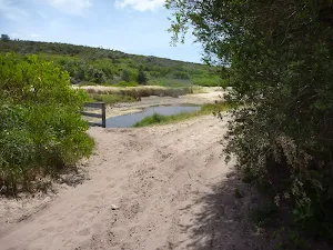
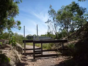
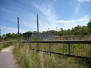
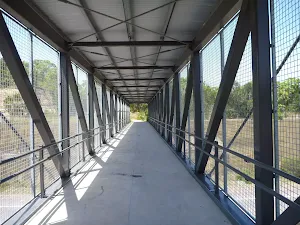
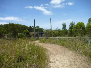
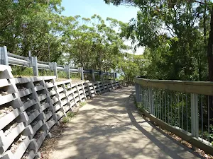
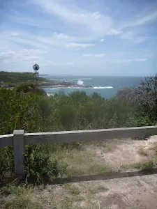
Veer left: From the intersection[22][23], this walk follows the footpath gently downhill, while keeping the ocean on your left. This walk continues for about 50m, undulating gently through coastal vegetation and crossing over a timber footbridge[24], until coming to the circular concrete structure[25] of Caves Beach Lookout[26].
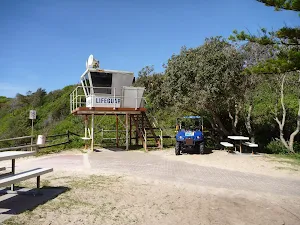
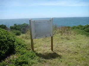
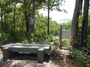
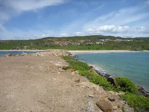
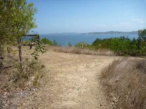
Caves Beach Lookout
(0km) Caves Beach Lookout → Int of Coastal Walk & Seacliff track
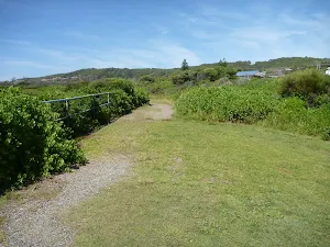
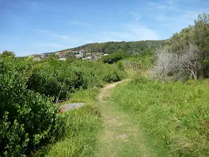
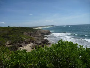
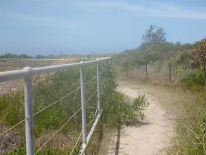
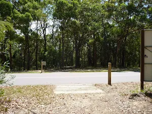
Turn left: From the intersection[33][34], this walk follows the track beside Caves Beach Road gently downhill, while keeping the ocean on your left. This walk continues for about 110m, to find the track gently uphill[35][36] and moving away from Caves Beach Road. Then the walk continues for about 100m and passes between a metal posted fence[37]. This walk continues for about 400m, undulating through coastal vegetation[38] with views[39] on the left, until passing over a timber footbridge[40] and coming to a three-way intersection with a concrete footpath[41] on the right.
(1km) Int of Coastal Walk & Seacliff track → Int of Coastal Walk & Spoon Rocks Track
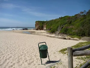
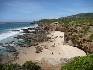
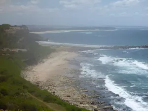
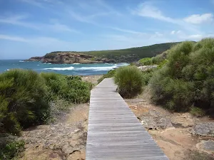
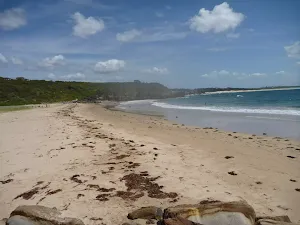
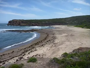
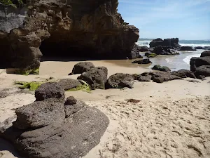
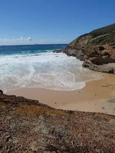
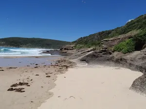
Spoon Rocks Beach
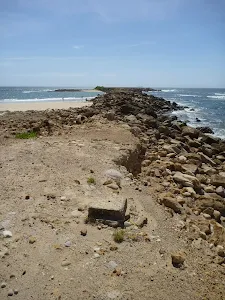
(1km) Int of Coastal Walk & Spoon Rocks Track → End of Spoon Rocks Spit
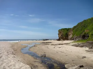
Spoon Rocks Spit
(1km) Int of Coastal Walk & Spoon Rocks Track → Int of Coastal Walk & Quarries Track
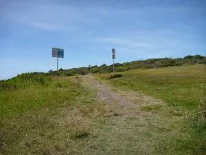
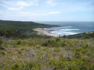
(2km) Int of Coastal Walk AND Quarries Track → Pinneys Viewpoint
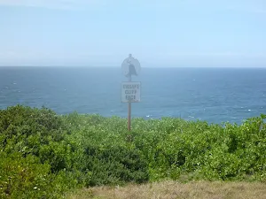
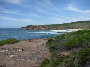
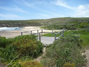
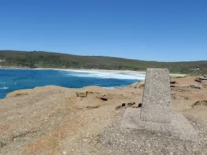
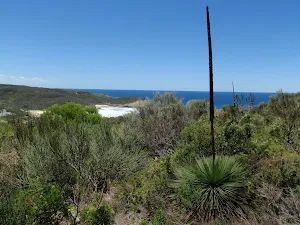
Pinneys Lookout
(3km) Pinneys Viewpoint → Int of Coastal Walk & Pinneys Beach
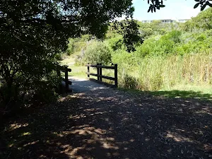
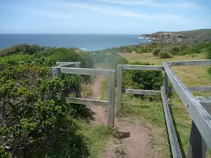
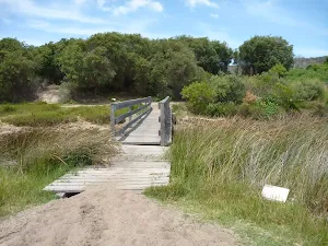
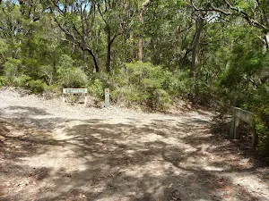
Turn left: From the intersection[90], this walk follows Pinneys Trail gently downhill[91], while keeping the track with a blank sign on your left[92]. This walk continues for about 100m through coastal vegetation, until crossing Pinney's Creek via a timber footbridge[93] and coming to a three-way intersection[94], with Pinney's Beach on the left.
Pinneys Beach
(3km) Int of Coastal Walk AND Pinneys Beach → Int of Coastal Walk AND Wallarah Walk
(3km) Int of Coastal Walk & Wallarah Walk → Int of Coastal Track & Pinneys Lookout
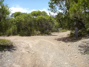
Continue straight: From the intersection[105], this walk follows the trail gently downhill[106] to the left, while keeping the gently downhill[107] Sharks Bay trail on your right. This walk continues, undulating gently for about 110m, until coming to a three-way intersection[108], with a arrow marker[109] on the left.
Veer left: From the intersection[110], this walk turns left on the trail and follows the timber arrow marker gently downhill. This walk continues, undulating gently[111] for about 180m, until coming to a timber fence[112] and Pinney's Lookout[113] on the left (just as the trail turns right[114]). At the end of this side trip, retrace your steps back to the main walk then Veer left.
Pinney's Headland Lookout
(3km) Int of Coastal Walk & Wallarah Walk → Int of Wallarah Walk & Heath Track
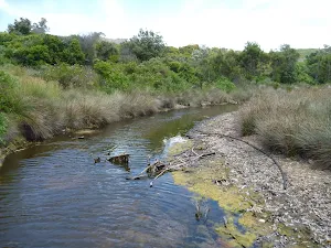
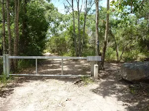
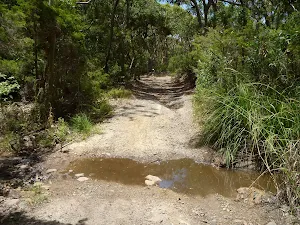
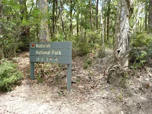
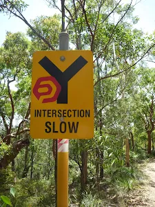
Turn right: From the intersection[126], this walk follows the timber arrow marker[127] and trail gently uphill. This walk continues, undulating for about 160m, to cross a rocky creek[128] with a 'Wallarah National Park' sign[129] on the right. Then this walk continues gently uphill[130] (ignoring side trails[131]) for about 140m, until coming to a three-way intersection[132], with a timber arrow sign[133] pointing left.
(4km) Int of Wallarah Walk & Heath Track → Int of Wallarah Walk and Ridge Track
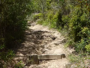
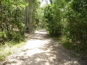
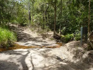
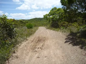
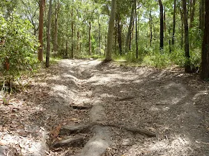
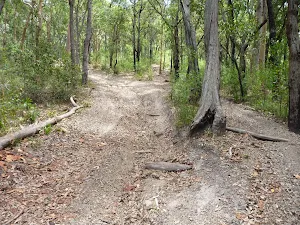
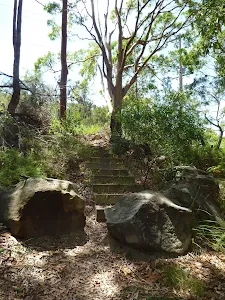
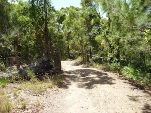
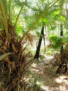
Turn left: From the intersection[140][141], this walk follows the trail gently uphill[142], while following the timber arrow marker. This walk continues, ignoring side trails, and crosses a creek[143] amongst palm trees after about 150m. Then the walk continues moderately steeply uphill[144] on an eroded trail[145] through native bush for about 700m (becoming gentle uphill[146]), until coming to a three-way intersection[147], with a track[148] on the left and timber steps[149] on the right (passing a 'Wallarah National Park' sign on the right).
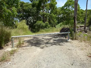
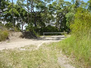
(5km) Int of Wallarah Walk & Ridge Track → Int of Wallarah Walk & Old Pacific Hwy
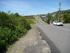
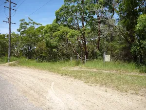
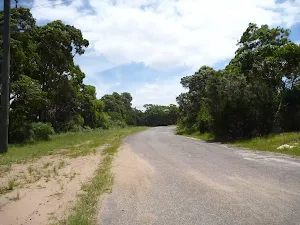
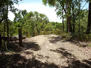
Turn left: From the intersection[157][158], this walk follows the road gently uphill, while keeping the 'Points of Interest' sign[159] on your left. This walk continues with overhead power lines[160] on your left for about 160m, until coming to a large disused section of bitumen road[161] at a three-way intersection.
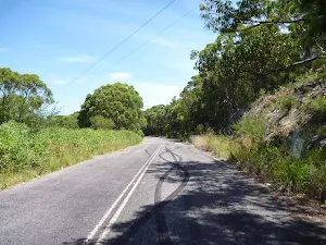
(5km) Int of Wallarah Walk & Old Pacific Hwy → Int of Old Pacific Hwy & Bridge Track
(6km) Int of Old Pacific Hwy & Bridge Track → Int of Murrays Trail & Raffertys Track
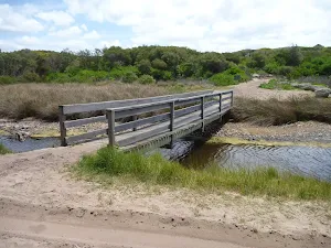
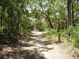
Veer right: From the intersection[177][178], this walk follows the trail west[179], while keeping the bridge on your right. This walk continues, undulating gently through native bush[180][181] for about 300m, until coming to a three-way intersection[182], with a timber arrow marker[183] indicating a right turn.
(6km) Int of Murrays Trail & Raffertys Track → Int of Murrays Trail & Jetty Point Drive
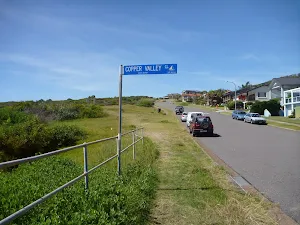
(7km) Int of Murrays Trail & Jetty Point Drive → Int of Jetty Point Drive & Shoreside Row
(8km) Int of Jetty Point Drive & Shoreside Row → The Lake House Cafe
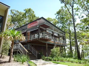
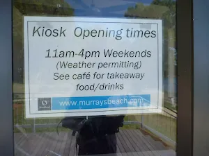
The Lake House Cafe (Murrays Beach)
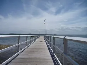
(8km) Int of Jetty Point Drive & Shoreside Row → Murrays Beach Jetty
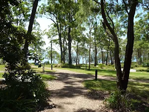
Murrays Beach Picnic Area
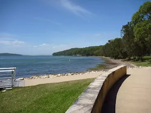
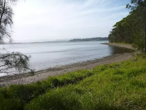
Murrays Beach
Maps for the Wallarah Pennisula Walk walk
You can download the PDF for this walk to print a map.
These maps below cover the walk and the wider area around the walk, they are worth carrying for safety reasons.
| Catherine Hill Bay | 1:25 000 Map Series | 92314S CATHERINE HILL BAY | NSW-92314S |
| Swansea | 1:25 000 Map Series | 92314N SWANSEA | NSW-92314N |
| Lake Macquarie | 1:100 000 Map Series | 9231 LAKE MACQUARIE | 9231 |
Cross sectional view of the Wallarah Pennisula Walk bushwalking track
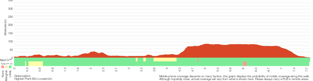
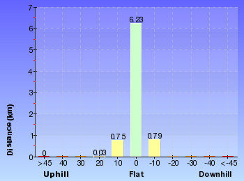
Analysis and summary of the altitude variation on the Wallarah Pennisula Walk
Overview of this walks grade – based on the AS 2156.1 – 2001
Under this standard, a walk is graded based on the most difficult section of the walk.
| Length | 7.8 km | ||
| Time | 2 hrs 45 mins | ||
| . | |||
Grade 4/6 Hard track | AS 2156.1 | Gradient | Very steep (4/6) |
| Quality of track | Formed track, with some branches and other obstacles (3/6) | ||
| Signs | Minimal directional signs (4/6) | ||
| Experience Required | Some bushwalking experience recommended (3/6) | ||
| Weather | Weather generally has little impact on safety (1/6) | ||
| Infrastructure | Limited facilities (such as cliffs not fenced, significant creeks not bridged) (4/6) |
Some more details of this walks Grading
Here is a bit more details explaining grading looking at sections of the walk
Gradient
4.2km of this walk has short steep hills and another 3.6km has gentle hills with occasional steps. The remaining (40m) is very steep.
Quality of track
5km of this walk follows a formed track, with some branches and other obstacles and another 1.2km follows a clear and well formed track or trail. The remaining (1.2km) follows a smooth and hardened path.
Signs
Around 4.8km of this walk has directional signs at most intersection, whilst the remaining 3km has minimal directional signs.
Experience Required
Around 4.8km of this walk requires no previous bushwalking experience, whilst the remaining 3.1km requires some bushwalking experience.
weather
This whole walk, 8km is not usually affected by severe weather events (that would unexpectedly impact safety and navigation).
Infrastructure
6km of this walk has limited facilities (such as not all cliffs fenced) and another 1.9km is close to useful facilities (such as fenced cliffs and seats). The remaining (280m) has limited facilities (such as cliffs not fenced, significant creeks not bridged).
Similar walks
A list of walks that share part of the track with the Wallarah Pennisula Walk walk.
Caves Beach Caves Walk
904 m Return, 30 mins
Hard track
Wallarah Coastal Walk
8.3 km Return, 3 hrs
Hard track
Other Nearby walks
A list of walks that start near the Wallarah Pennisula Walk walk.
Galgabba Point Walk
3.2 km Return, 1 Hr
Moderate track
Belmont Lagoon Spit Walk
3.2 km Return, 1 Hr

Moderate track
Timber Beach
768 m Return, 20 mins
Hard track
Green Point Circuit Walk
7.7 km Circuit, 3 hrs
Hard track
The Foreshore Walk
2.9 km One way, 1 hr 15 mins
Hard track
The Lookout Circuit
2.4 km Circuit, 1 Hr
Moderate track
Snapper Point
280 m Return, 10 mins
Moderate track
Snapper Point Beach
630 m Return, 15 mins
Experienced only
Green Point Drive Circuit
3.4 km Circuit, 2 hrs 45 mins
Moderate track
The Green Point Walk
3 km Return, 1 hr 15 mins

Moderate track
Palm Tree Circuit Track
609 m Circuit, 20 mins
Moderate track
Grass Tree Track
862 m One way, 30 mins
Experienced only
Plan your trip to and from the walk here
The Wallarah Pennisula Walk walk starts at the Cafe Acquablu on Caves Beach (gps: -33.110225, 151.64631)
The Wallarah Pennisula Walk ends at the Murrays Beach Jetty (gps: -33.113700, 151.61398)
Comments
Short URL: http://wild.tl/wpw