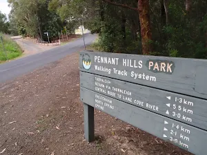
Epping Station Lane Cove River Loop


(0km) Epping Station → Int of Derby street service trail
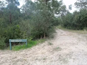
(1km) Int of Derby street service trail → Int of Epping Trk and Malton Rd Trail
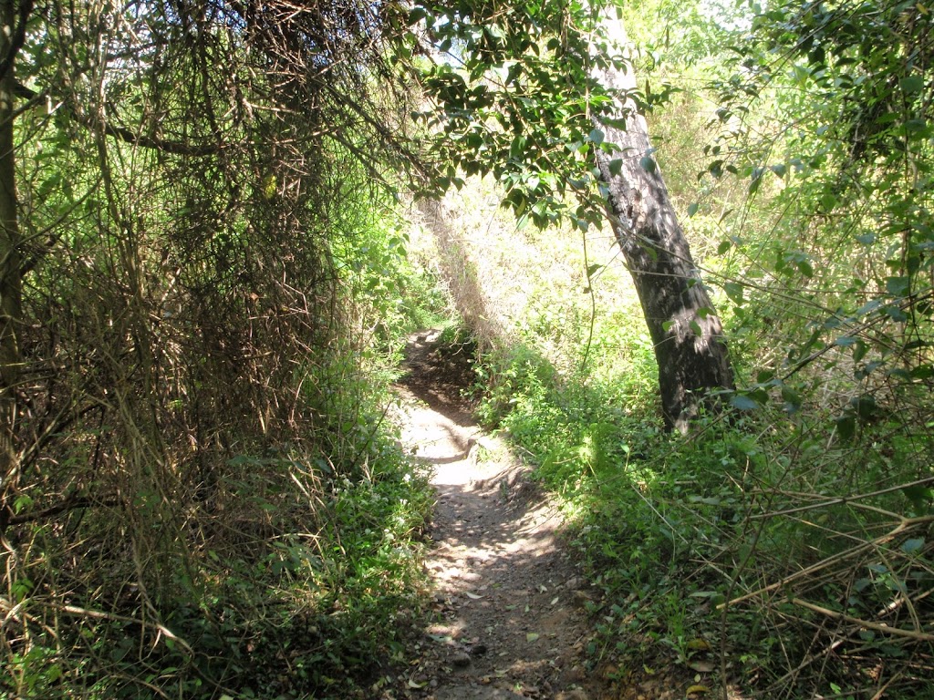
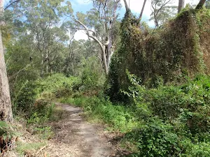
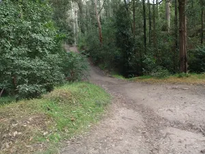
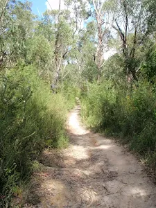
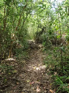
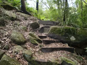
Turn left: From the intersection the track follows the Whale Rock sign down the service trail which narrows into a bushtrack and follows Devlin creek through the gully all the way along until it widens out into a rocky service trail again and comes to the intersection of the Cheltenham service trail.
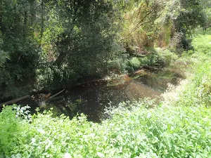
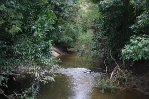
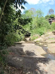
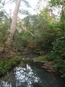
(2km) Int of Epping Trk and Malton Rd Trail → Big Ducky Waterhole
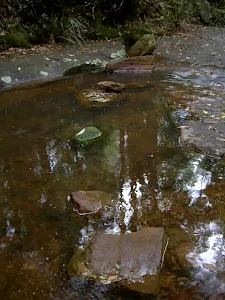
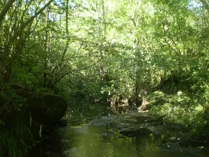
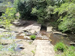
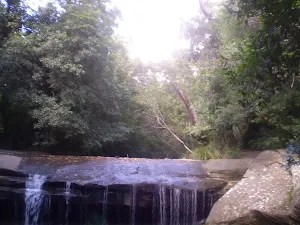
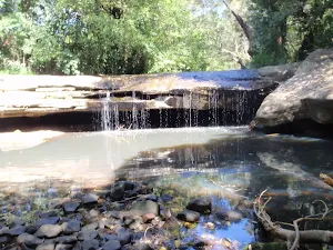
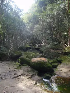
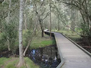
Big Ducky Waterhole
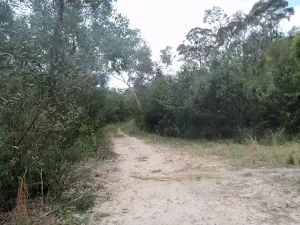
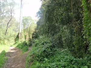
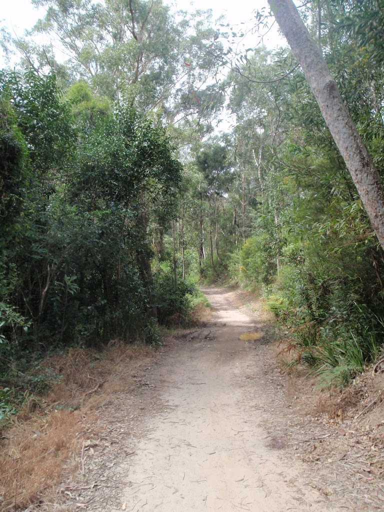
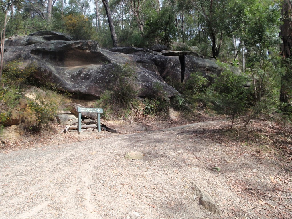
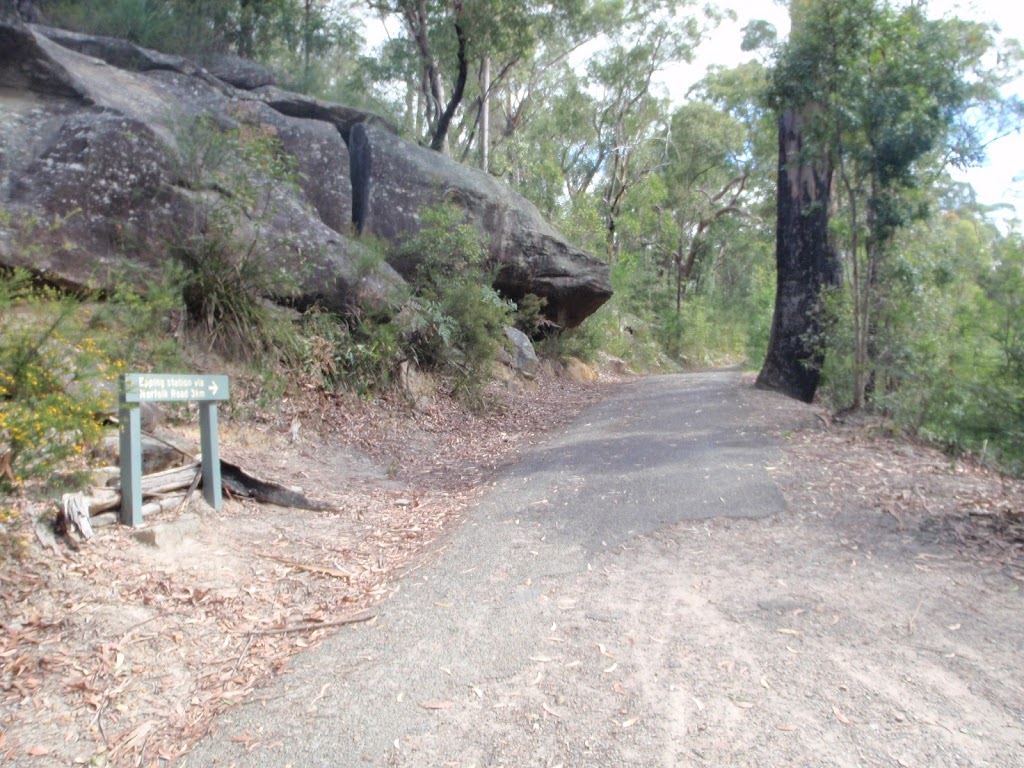
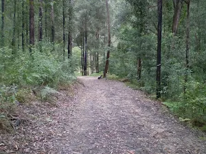
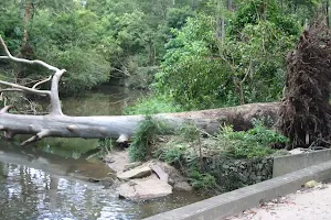
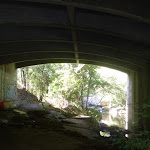
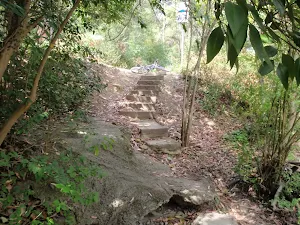
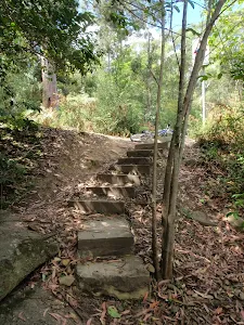
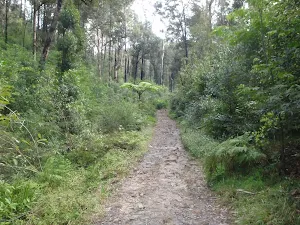
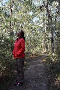
(3km) Big Ducky Waterhole → Whale Rock
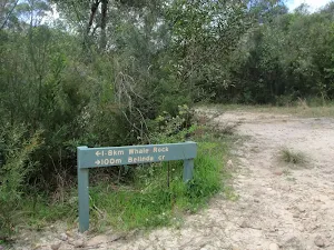
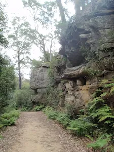
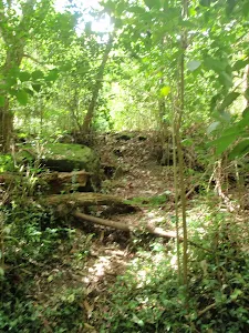
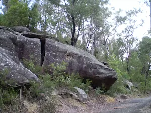
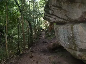
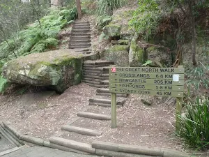
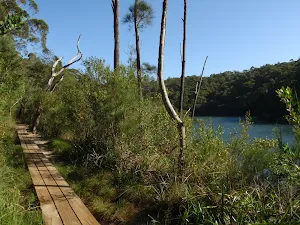
Whale Rock
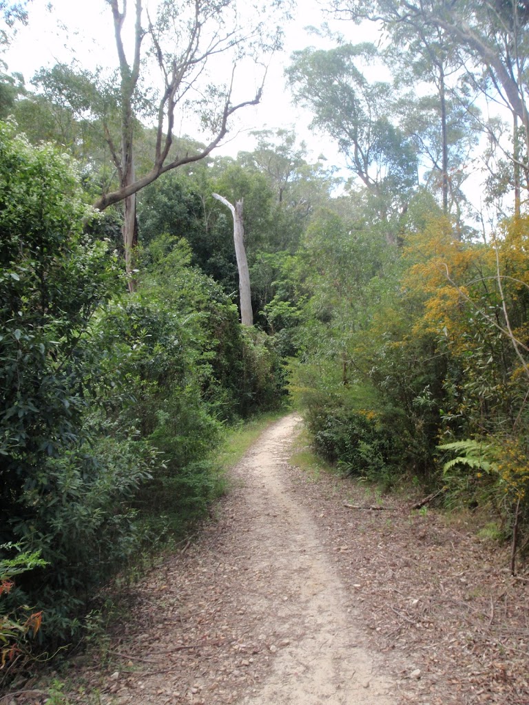
(3km) Whale Rock → Browns Waterhole int
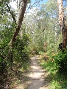
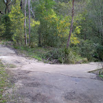
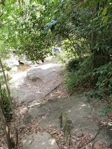
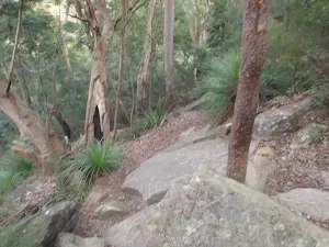
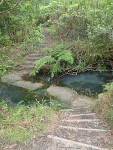
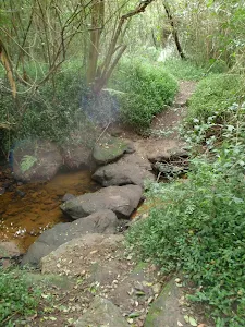
Continue straight: From the intersection the track follows the Thornleigh via Great North Walk arrow down the short but steep hill and across the river at the causeway. On the other side of the river the track comes up to the intersection of the Great North Walk service trail.
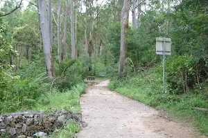
Veer right: From the intersection, this walk follows the 'Lane Cove River Park' sign[1], gently uphill along the management trail, keeping the river to your right. After about 80m, the trail leads to a Y-intersection with sealed management trail[2] (on the left), marked with a STEP Track map/sign[3].
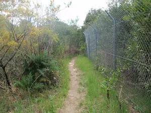
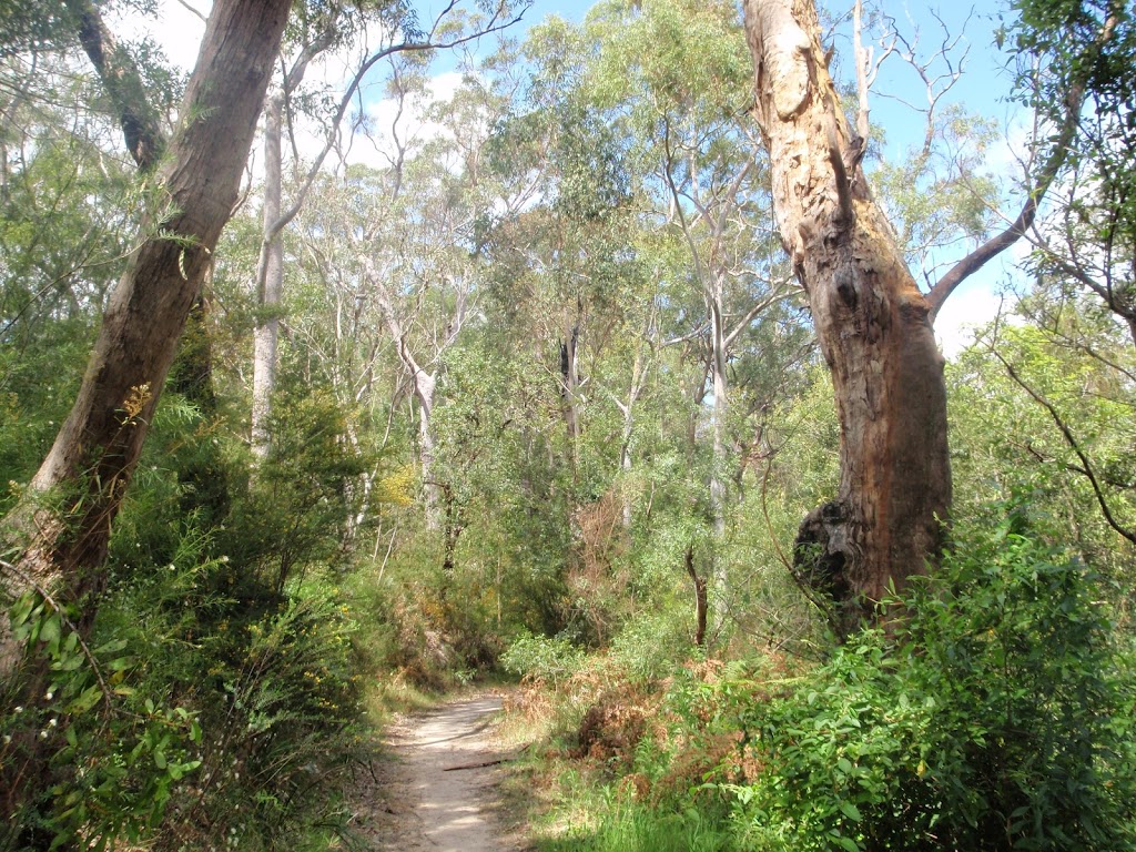
Veer right: From the intersection, this walk follows the 'The Great North Walk' sign[4] along the mostly flat management trail, initially keeping the sealed 'Canoon Rd' trail up to your left. The trail undulates through the tall forest[5] and valley (weedy in places[6]), keeping the river to your right, for just shy of 600m to come to an intersection marked with a 'STEP track' sign[7][8] (on your left).
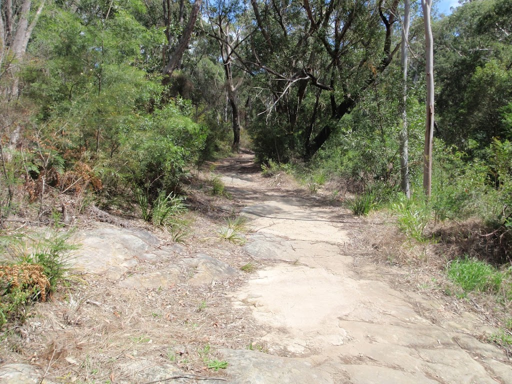
Continue straight: From the intersection, this walk follows GNW arrow post[9] down the short, fairly steep hill, following the management trail over a small culverted creek[10]. The walk then heads gently uphill for about 30m to come to a clear three-way intersection[11], marked with a GNW arrow post.
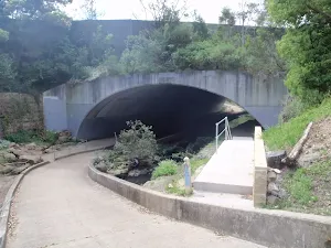
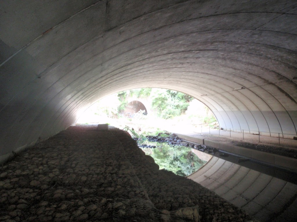
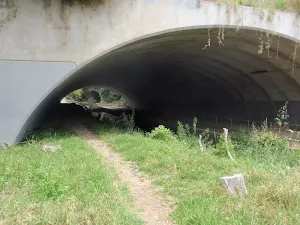
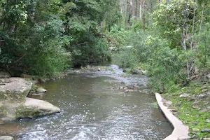
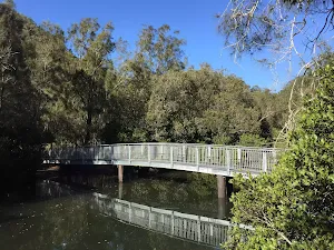
Veer right: From the intersection, this walk follows the GNW arrow post[12] south-east, gently up along the wide trail, keeping the main valley to your right. The trail leads gently up through the valley for about 400m, then under some high tension power lines[13], where there is a mostly clear view over the river[14] (to your right). Here the trail continues for another 80m to come to an intersection with a wide concrete path (just past the 'Caution' sign[15]), beside the Lane Cove River crossing[16] (on your right), marked with a 'The Great North Walk' sign[17].
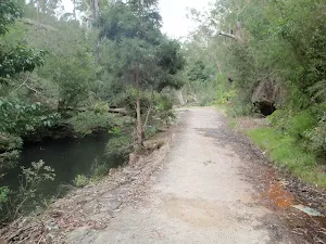
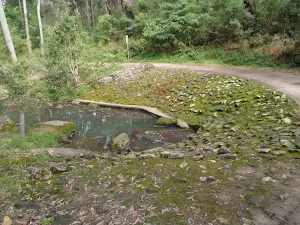
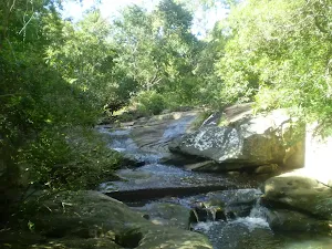
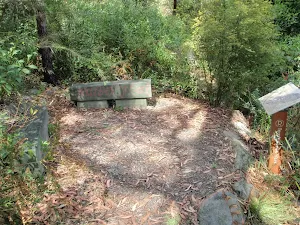
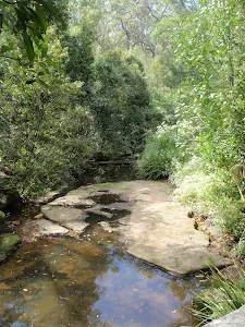
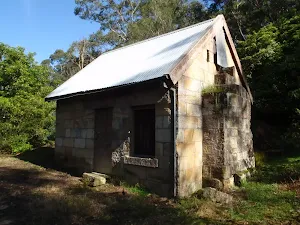
(5km) Browns Waterhole int → Browns Waterhole
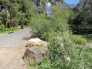
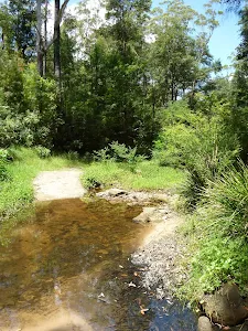
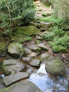
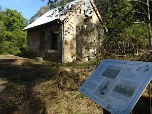
Browns Waterhole
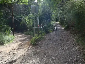
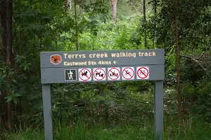
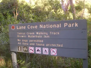
(5km) Browns Waterhole → Int of Terry's Creek Walking Track and Brown's Waterhole Servicetrail
(5km) Int of Terry's Creek Walking Track and Brown's Waterhole Servicetrail → Int of Eastwood Station and Pembroke street tracks
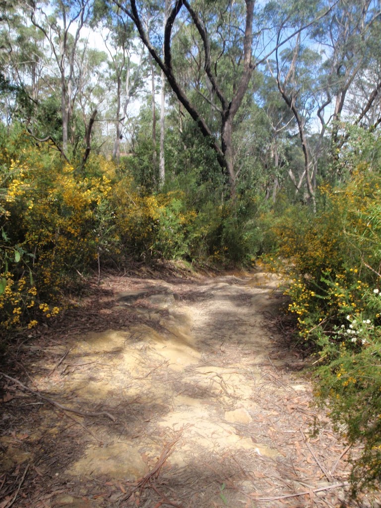
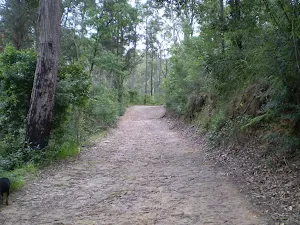
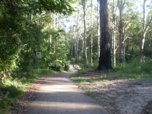
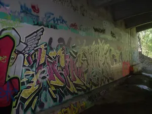
Continue straight: From the intersection the track follows the bushtrack south through the bush winding up some steps and crossing underneath the M2 moter way and back down and around to the signposted intersection of the Crimea road and Epping road tracks.
Turn right: From the intersection the tack follows the Epping road arrow down across the creek and up the other side to the signposted intersection of the Eastwood Station track at the number 18 plaque
Turn right: From the intersection the track follows the Eastwood Station arrow through the bush winding all the way along to a rock platform where you can see the M2 motorway and continues along the track, all the way through until it comes to the signposted intersection of the signposted intersection of the Eastwood Station track
Continue straight: From the intersection the track heads west through the bush winding down a gentle hill and around a sewage access point, coming back up the other side to the signposted intersection of the Eastwood Station track.
Turn left: From the intersection the track heads south, up the short hill and through the bush passing 2 sewage access points as it winds along the left hand side of the creek, all the way to the intersection of the Eastwood Station track, a short distance after passing the 3rd sewage access point.
Continue straight: From the intersection the track follows the bushtrack south alongside the creek, passing a sewage access point and continuing up a short hill to the intersection of the unnamed bushtrack.
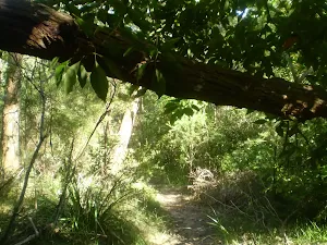
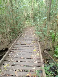
Veer left: From the intersection the track heads south west along the bushtrack winding up and down along the left side of the creek until it crosses a small wooden bridge and continues through the bush, all the way to the intersection of the unnamed bushtrack.
Continue straight: From the intersection the track follows the Eastwood Station arrow along the creek and through the bush past signpost 15, and a sewage access point. continuing up a short hill to the intersection of the Epping road track.
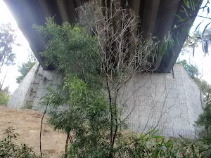
Continue straight: From the intersection the track follows the bushtrack down the gentle hill, winding around and under the Epping road bridge and across the rocks until it comes to the intersection of the Pembroke road path and the Eastwood Station track at the base of the wooden steps.
(7km) Int of Eastwood Station and Pembroke street tracks → Int on Epping Rd east of Terrys Creek
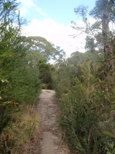
Turn left: From the intersection (marked with the no.13 post[20]) this walk follows the track uphill, towards the busy road (through the re-vegetating clearing) for about 30m to come to a T-intersection with a concrete path[21], beside Epping Road.
(7km) Int on Epping Rd east of Terrys Creek → End of Pembroke St
(7km) End of Pembroke street → Epping Station
Maps for the Epping Station Lane Cove River Loop walk
You can download the PDF for this walk to print a map.
These maps below cover the walk and the wider area around the walk, they are worth carrying for safety reasons.
| Parramatta River | 1:25 000 Map Series | 91303N PARRAMATTA RIVER | NSW-91303N |
| Sydney | 1:100 000 Map Series | 9130 SYDNEY | 9130 |
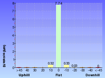
Cross sectional view of the Epping Station Lane Cove River Loop bushwalking track
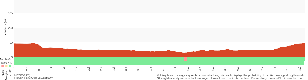
Analysis and summary of the altitude variation on the Epping Station Lane Cove River Loop
Overview of this walks grade – based on the AS 2156.1 – 2001
Under this standard, a walk is graded based on the most difficult section of the walk.
| Length | 8.4 km | ||
| Time | 3 hrs | ||
| . | |||
Grade 3/6 Moderate track | AS 2156.1 | Gradient | Gentle hills with occasional steps (2/6) |
| Quality of track | Formed track, with some branches and other obstacles (3/6) | ||
| Signs | Directional signs along the way (3/6) | ||
| Experience Required | Some bushwalking experience recommended (3/6) | ||
| Weather | Storms may impact on navigation and safety (3/6) | ||
| Infrastructure | Limited facilities, not all cliffs are fenced (3/6) |
Some more details of this walks Grading
Here is a bit more details explaining grading looking at sections of the walk
Gradient
Around 6km of this walk has gentle hills with occasional steps, whilst the remaining 2.2km is flat with no steps.
Quality of track
3.8km of this walk follows a clear and well formed track or trail and another 2.5km follows a formed track, with some branches and other obstacles. The remaining (2.2km) follows a smooth and hardened path.
Signs
Around 5km of this walk is clearly signposted, whilst the remaining 3.2km has directional signs at most intersection.
Experience Required
Around 7km of this walk requires no previous bushwalking experience, whilst the remaining 1.9km requires some bushwalking experience.
weather
Around 8km of this walk is not usually affected by severe weather events (that would unexpectedly impact safety and navigation), whilst the remaining 880m is affected by storms that may impact your navigation and safety.
Infrastructure
Around 6km of this walk is close to useful facilities (such as fenced cliffs and seats), whilst the remaining 2.6km has limited facilities (such as not all cliffs fenced).
Similar walks
A list of walks that share part of the track with the Epping Station Lane Cove River Loop walk.
Browns Waterhole Track
1.3 km One way, 30 mins
Moderate track
STEP Track
2.7 km Circuit, 1 Hr
Moderate track
Belinda Cres to Whale Rock
2.8 km Return, 1 Hr
Moderate track
Canoon Rd to Whale Rock
3.2 km Return, 1 hr 30 mins
Moderate track
Epping to Eastwood Station (via Terrys Creek)
4.1 km One way, 1 hr 30 mins
Moderate track
Vimeira Rd to De Burghs Bridge
5.1 km One way, 2 hrs
Hard track
Epping to Pennant Hills Station
5.3 km One way, 2 hrs
Moderate track
Thornleigh to Marsfield
6.1 km One way, 2 hrs 30 mins
Hard track
Epping to Cheltenham Station via Whale Rock
6.8 km One way, 2 hrs 30 mins
Hard track
Epping to Thornleigh Station
8 km One way, 3 hrs
Hard track
Pennant Hills Park loop (via Lane Cove River)
8.2 km Circuit, 3 hrs
Hard track
Epping to Pennant Hills Station (via Lane Cove River)
8.4 km One way, 3 hrs 15 mins
Hard track
De Burgs Bridge to Thornleigh station
9.7 km One way, 3 hrs 45 mins
Hard track
Epping to Eastwood Station (via Lane Cove River)
10.2 km One way, 3 hrs 45 mins
Moderate track
Eastwood to Thornleigh
10.3 km One way, 3 hrs 45 mins
Hard track
Macquarie Park to Thornleigh
11.6 km One way, 4 hrs 30 mins
Hard track
Epping to Gordon Station
11.7 km One way, 4 hrs 15 mins
Hard track
Chatswood to Epping Station
16.3 km One way, 6 hrs
Hard track
Epping to Hornsby Station
17.5 km One way, 6 hrs 45 mins
Hard track
Chatswood Station to Eastwood Station
18.1 km One way, 6 hrs 45 mins
Hard track
Eastwood to Hornsby
20.6 km One way, 8 hrs
Hard track
Gordon to Hornsby (overnight at Scout camp)
25.8 km One way, 2 Days

Hard track
Sydney to Thornleigh via Lane Cove Tourist Park
33 km One way, 2 Days
Hard track
Circular Quay to Hornsby
44.4 km One way, 3 Days

Hard track
Other Nearby walks
A list of walks that start near the Epping Station Lane Cove River Loop walk.
Whale Rock
516 m Return, 15 mins
Moderate track
De Burghs Bridge to Fullers Bridge
6 km One way, 2 hrs 30 mins
Hard track
Kissing Pt Rd to De Burghs Bridge
4.4 km One way, 1 hr 45 mins
Hard track
Mambara Track
717 m Circuit, 20 mins
Very easy
Riverside Walking Track
5.5 km One way, 2 hrs
Hard track
Stringybark Ridge and Zig Zag Creek loop from Thornleigh Station
6.6 km Circuit, 2 hrs 30 mins

Hard track
Thornleigh to Cowan
35.9 km One way, 2 Days
Hard track
Thornleigh to Galston Gorge
15.5 km One way, 6 hrs
Hard track
Thornleigh to Hornsby
10.2 km One way, 4 hrs

Hard track
Thornleigh to Mt Kuring-Gai
28.1 km One way, 2 Days
Hard track
Lane Cove National Park Heritage Walk
2.6 km One way, 1 Hr
Moderate track
Two Creeks Track
6.1 km One way, 2 hrs 30 mins
Moderate track
Plan your trip to and from the walk here
The Epping Station Lane Cove River Loop walk starts and ends at the Epping Station (gps: -33.772529, 151.08242)
Weather Forecast
This walk starts in the Metropolitan weather district.
Current Alerts
Park Information
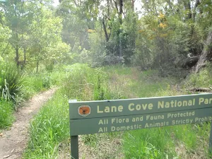
Lane Cove National Park
This small but picturesque city park is a haven of peaceful bushland along the winding Lane Cove River. Home to the Kukundi Wildlife Shelter and 27 km of the Great North Walk, you can also hire a boat, take a stroll or enjoy a picnic by the weir.
Bradley Reserve
Bradley Reserve is a large natural bushland area owned and managed by Ku-ring-gai council. The reserve extends from Lane Cove River to the end of Kissing Point Road north to George Christie playing fields. The reserve is home to the locally well know STEP track, and is cared for by the STEP inc, the "South Turramurra Environment Protection". The Great north walk also heads through this reserve, and is also home to Browns water hole.
Comments
Short URL: http://wild.tl/esl