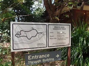
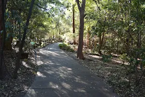
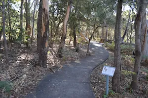
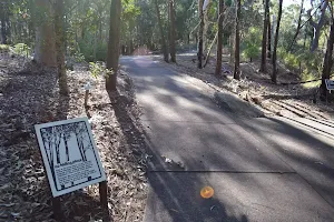
Kalkari Discovery trail
(0km) Kalkari car park → Kalkari Discovery Centre


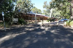
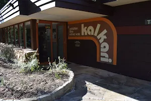
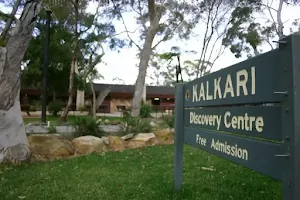
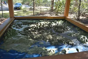
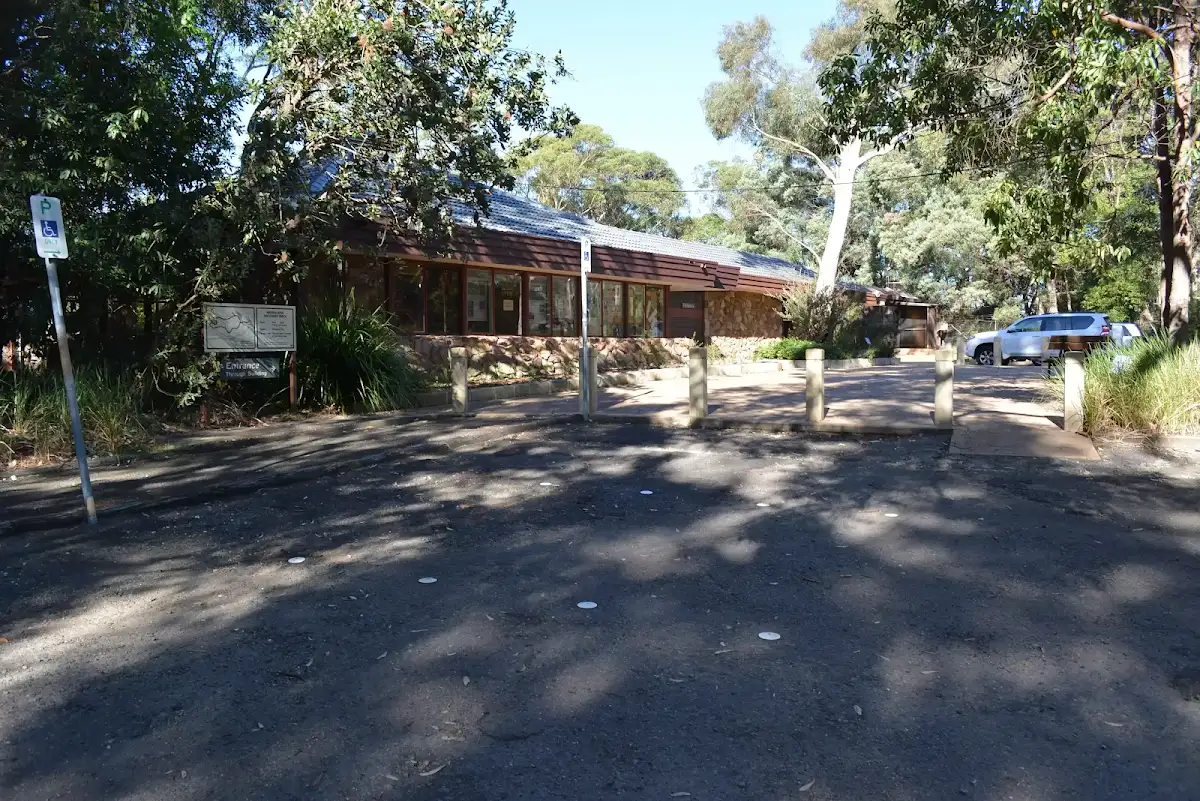
Kalkari Discovery Centre

(0km) Kalkari Discovery Centre → Kalkari picnic area

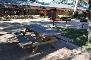
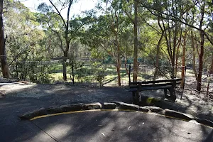
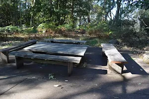
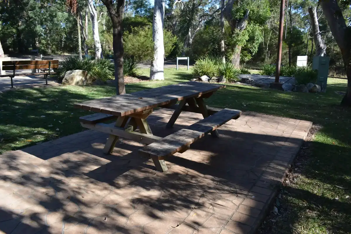
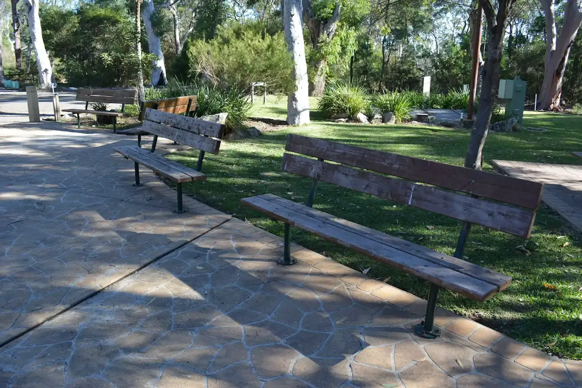
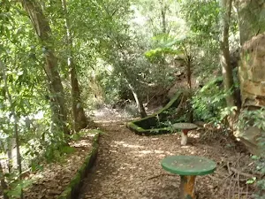
Kalkari Picnic Area

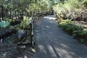
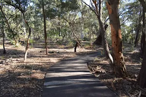
(0km) Kalkari picnic area → Pond intersection
(0km) Pond intersection → Lookout intersection

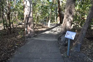
(0km) Lookout intersection → The Kalkari Lookout
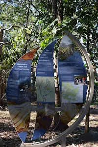
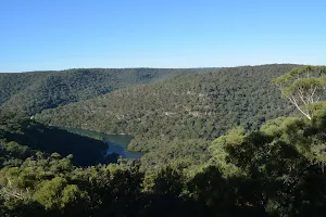
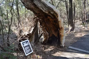
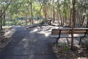
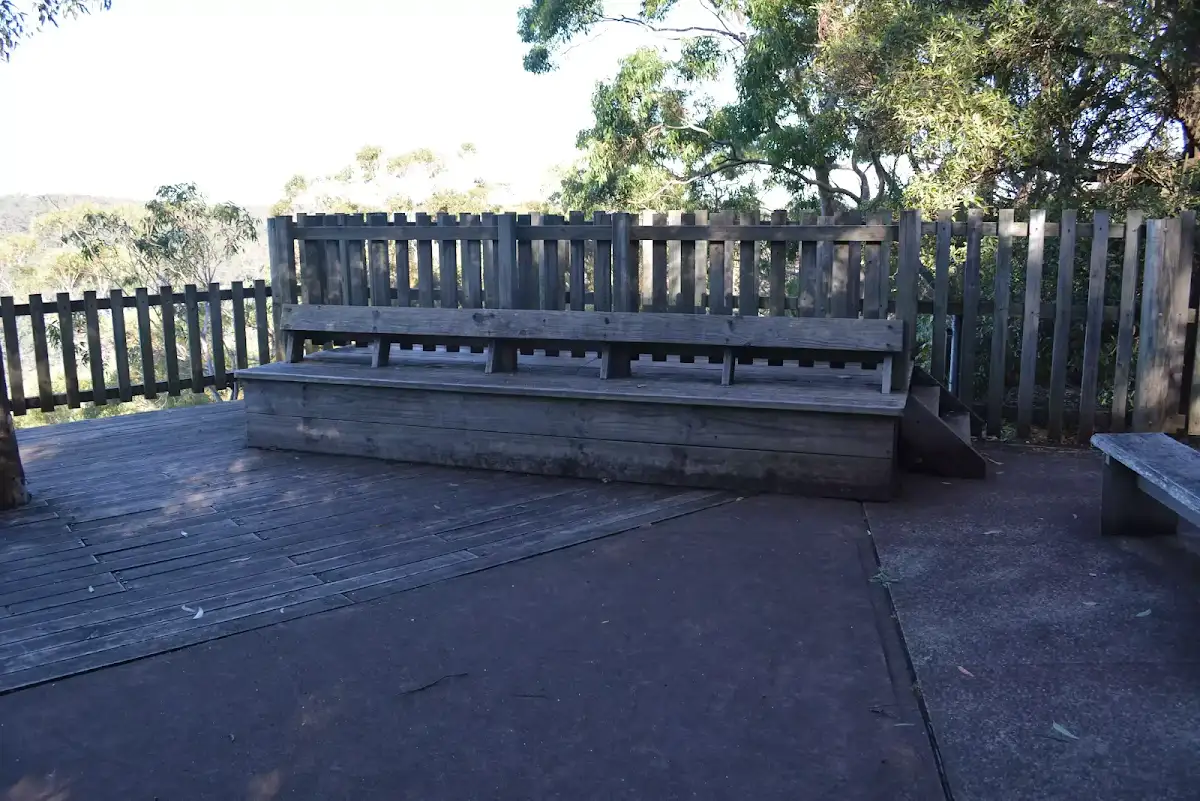
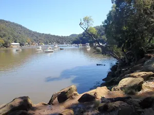
Kalkari Lookout


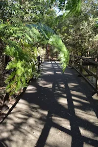
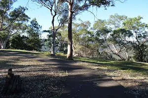
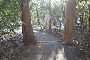
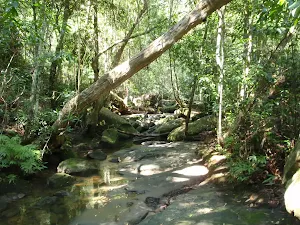
(0km) Lookout intersection → Eastern loop int.
(0km) Eastern loop int. → Western loop int.
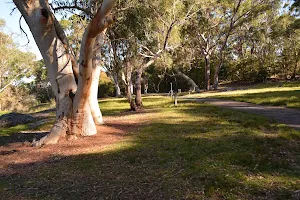
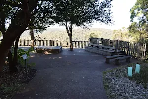
(0km) Western loop int. → The Kalkari Outlook

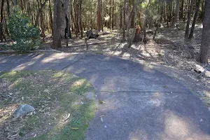
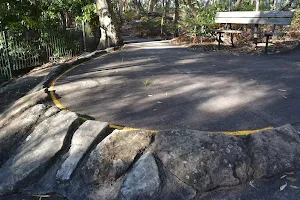
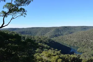
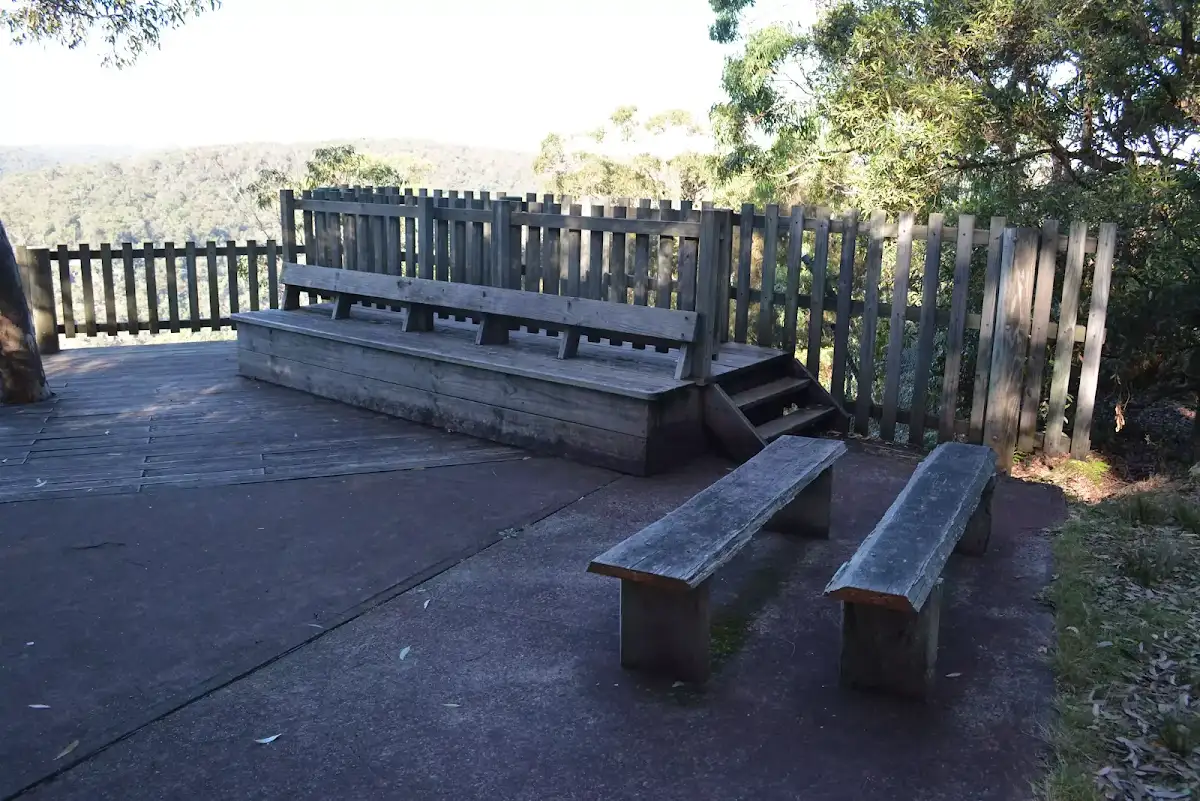
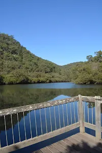
Kalkari Outlook

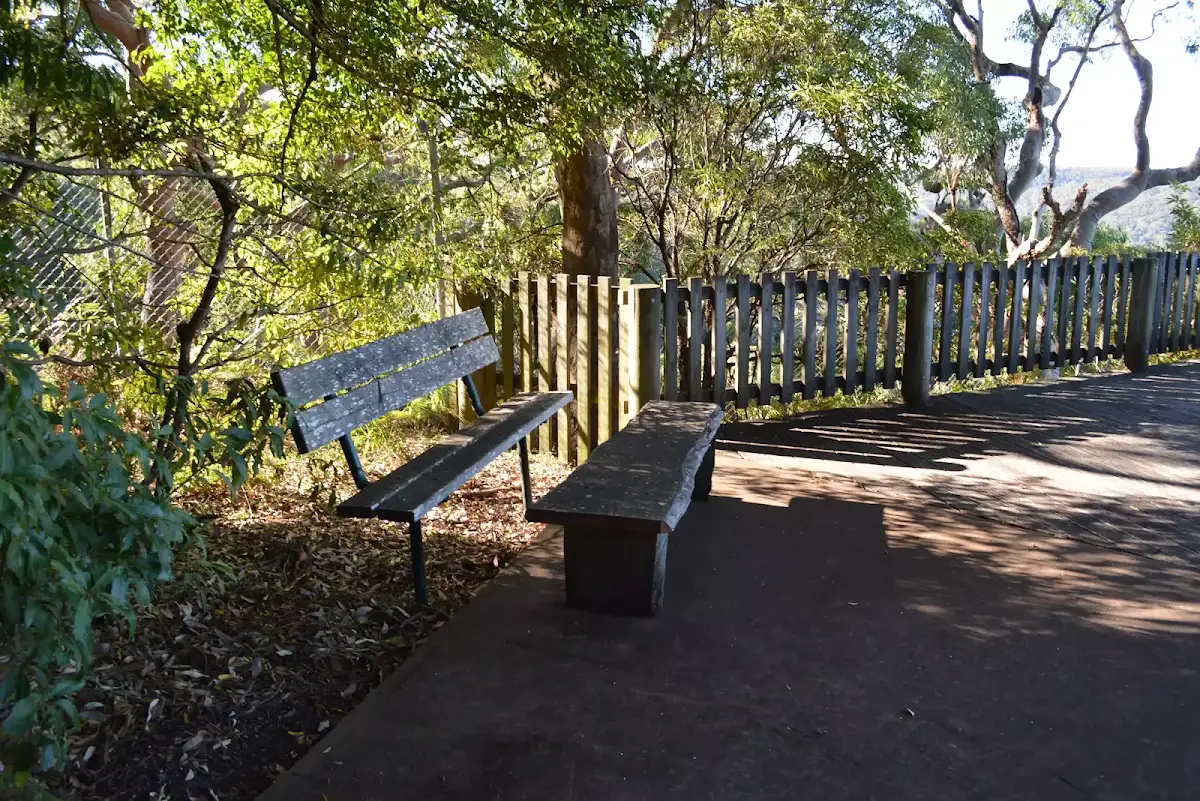
(0km) The Kalkari Outlook → Pond intersection
(1km) Pond intersection → Kalkari car park
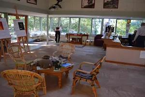
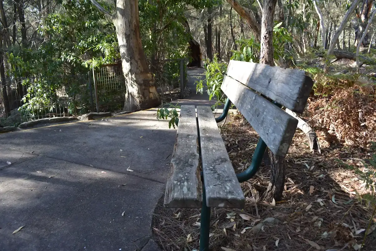
Continue straight: From picnic tables and seats[78][79] at the Kalkari picnic area[80], this walk leads along the wide concrete path toward the Kalkari Discovery Centre[81]. After 35m this walk leads through the glass back door[82], straight to the front desk[83] (inside of the Kalkari Discovery Centre).
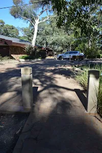
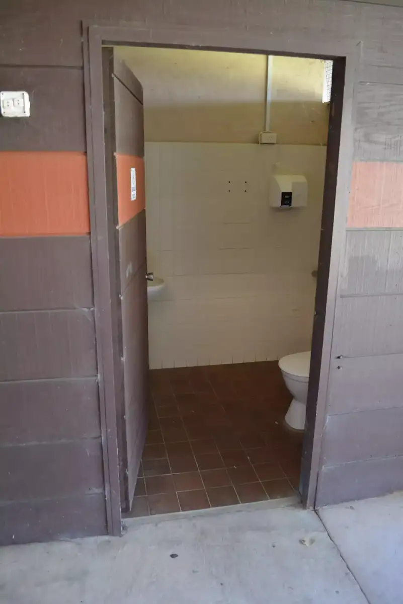
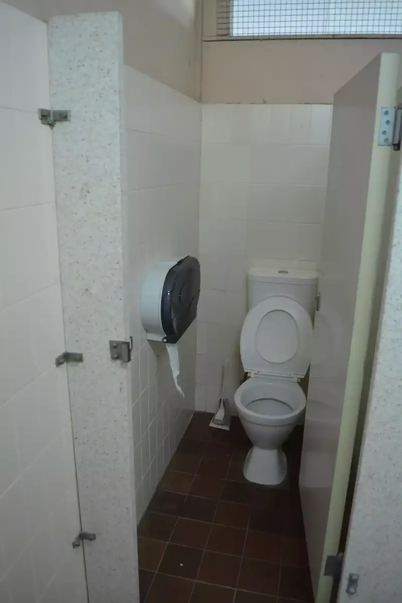
Continue straight: From the information desk[84] at the Kalkari Discovery Centre[85] this walk leads down the hallway[86] (on the car park side) to the front door (80cm wide, expandable to 1.7m with a 3cm step[87]). Walk heads through the door, veers right (away from the toilets) then past seatsand picnic table, down the short ramp[88], between 2 bollards[89] (1.3m apart, 93cm high), to the car park[90](on Ku-ring-gai Chase Rd).
Maps for the Kalkari Discovery trail walk
You can download the PDF for this walk to print a map.
These maps below cover the walk and the wider area around the walk, they are worth carrying for safety reasons.
| Hornsby | 1:25 000 Map Series | 91304S HORNSBY | NSW-91304S |
| Ku-ring-gai Chase National Park Tourist Map | 1:40 000 Map Series | CMA Ku-ring-gai Chase National Park Tourist Map | CMA Ku-ring-gai Chase National Park Tourist Map |
| Sydney | 1:100 000 Map Series | 9130 SYDNEY | 9130 |
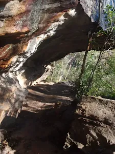
Cross sectional view of the Kalkari Discovery trail bushwalking track
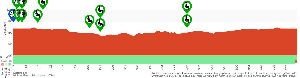
Analysis and summary of the altitude variation on the Kalkari Discovery trail
Accessibility Profile
This page is designed to give you a sense of the facilities that help improve access for people with disabilities or mobility restrictions. See tracknotes and map for navigation, point of interest and other information. See the Accessibility Details below for specific information about each facility.
Accessibility Details
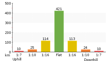
Overview of this walks grade – based on the AS 2156.1 – 2001
Under this standard, a walk is graded based on the most difficult section of the walk.
| Length | 798 m | ||
| Time | 30 mins | ||
| . | |||
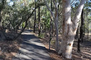
Grade 1/6 Very easy | AS 2156.1 | Gradient | Flat, no steps (1/6) |
| Quality of track | Smooth and hardened path (1/6) | ||
| Signs | Clearly signposted (1/6) | ||
| Experience Required | No experience required (1/6) | ||
| Weather | Weather generally has little impact on safety (1/6) | ||
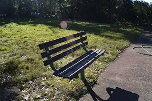
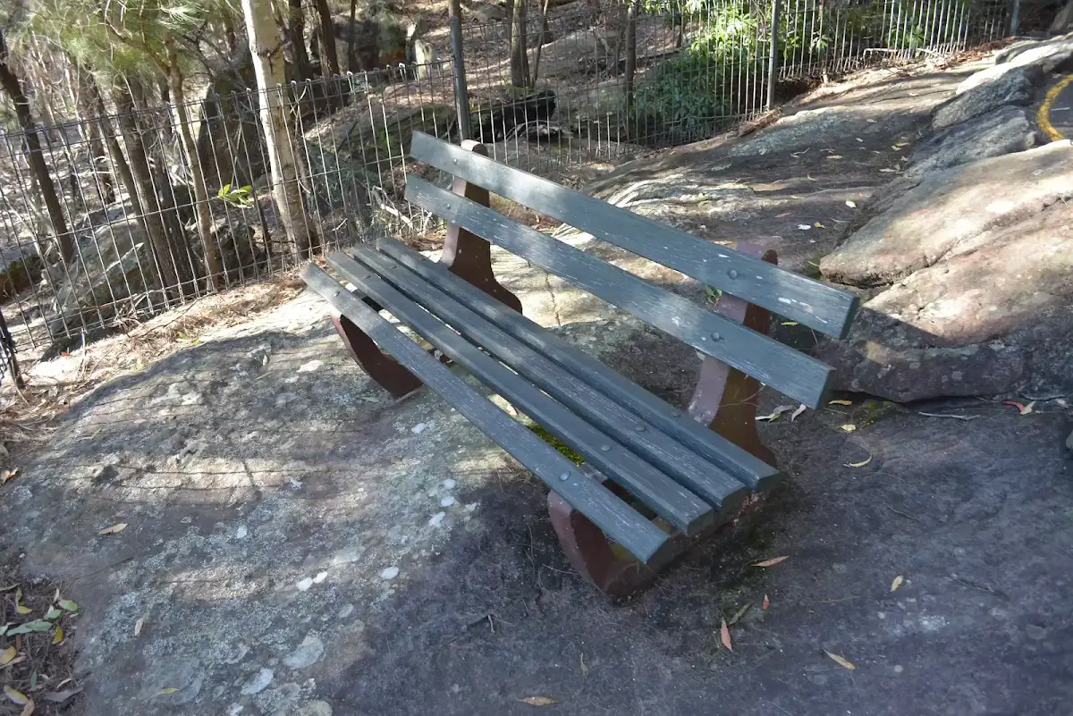
| Infrastructure | Generally useful facilities (such as fenced cliffs and seats) (1/6) |
Some more details of this walks Grading
Here is a bit more details explaining grading looking at sections of the walk
Gradient
This whole walk, 800m is flat with no steps.
Quality of track
This whole walk, 800m follows a smooth and hardened path.
Signs
This whole walk, 800m is clearly signposted.
Experience Required
This whole walk, 800m requires no previous bushwalking experience.
weather
This whole walk, 800m is not usually affected by severe weather events (that would unexpectedly impact safety and navigation).
Infrastructure
This whole walk, 800m is close to useful facilities (such as fenced cliffs and seats).
Other Nearby walks
A list of walks that start near the Kalkari Discovery trail walk.
Kalkari and Birrawanna Loop Tracks
5.2 km Circuit, 2 hrs 15 mins
Hard track
Bobbin Head Boardwalk
552 m Return, 15 mins
Very easy
Bobbin Head Rainforest walk
1.6 km Return, 40 mins
Moderate track
Birrawanna Track
4.4 km Return, 2 hrs
Moderate track
Cockle Creek Lookout Return
1.1 km Return, 1 Hr
Hard track
Bobbin Head to Mt Kuring-gai via Apple Tree Bay
5.3 km One way, 2 hrs 30 mins
Hard track
Apple Tree Bay Birrawanna Loop
3.9 km Circuit, 2 hrs
Hard track
Mt Kuring-gai Track to Berowra station
9.7 km One way, 4 hrs 15 mins
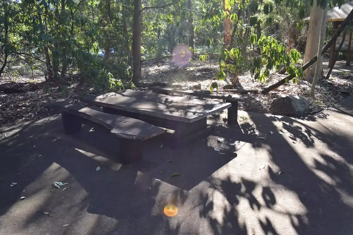
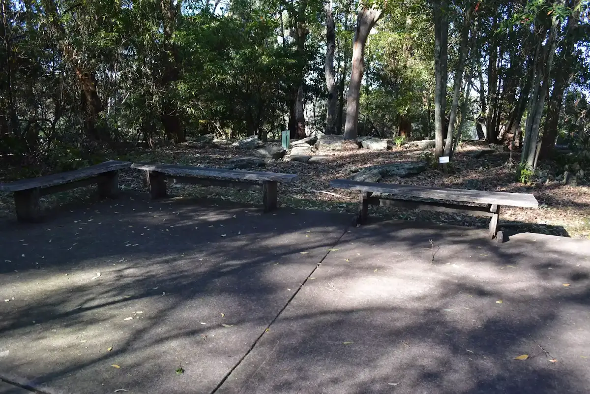
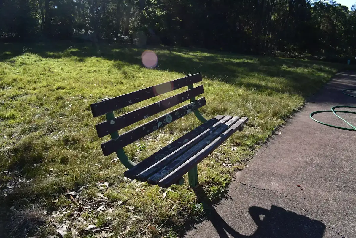
Hard track
Mt Kuring-gai to Cowan (via Berowra Waters)
17.2 km One way, 8 hrs
Hard track
Mt Kuring-gai to Calna Creek
9.4 km Return, 4 hrs
Hard track
Duffy's Track and Slade Lookout
2.5 km Return, 1 hr 30 mins

Moderate track

Plan your trip to and from the walk here
The Kalkari Discovery trail walk starts and ends at the Kalkari car park (gps: -33.665258, 151.14905)
Weather Forecast
This walk starts in the Metropolitan weather district.
A detailed forecast for this walk isn't available yet.
Current Alerts
Live alerts aren't available for this walk. Check the NPWS website for closures and the RFS for current fire danger.
Park Information
Ku-ring-gai Chase National Park
A largely untouched wilderness on the northern boundary of Sydney, Ku-ring-gai Chase NP is one of Australia's oldest national parks. Here at the head of the Hawkesbury River, you'll find Aboriginal engravings and sites, as well as sandstone escarpments,
Comments
Short URL: http://wild.tl/kdt