Western Commission Track to Dubbo Gully
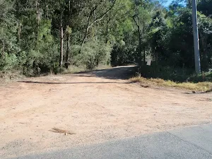


(0km) Bottom end of Western Commission Track → Dam
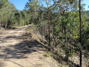
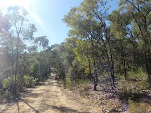
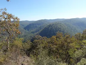
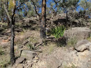
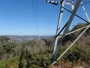
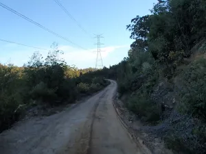
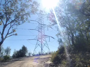
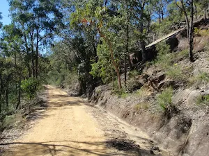
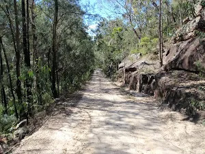
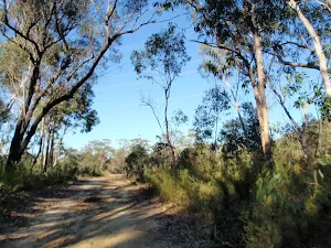
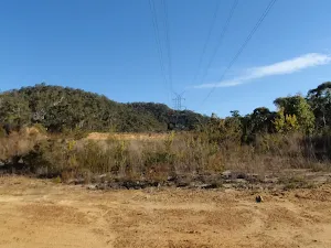
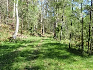
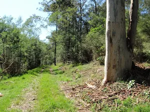
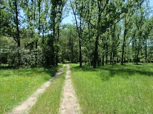
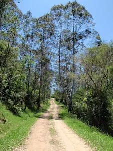
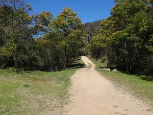
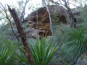
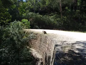
Continue straight: From the intersection, this walk follows the main management trail up the hill, keeping the valley to the right. After about 400m the trail passes between two small old dams. About another 800 meters on the trail bends sharply to the right, where there are good views across the valley on the left. Further up the hill the trail passes the 165-166 trail on the right. The trail now flattens out and passes 4 high tension electrical tower, with filtered distant views. Soon after the 4th tower the trail leads to a large clearing and dam on the right.
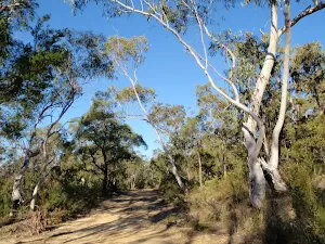
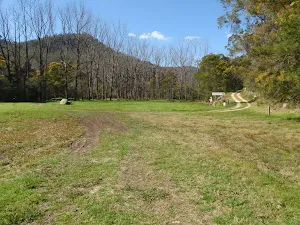
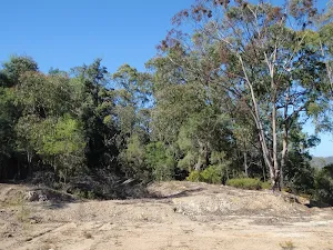
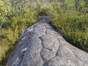
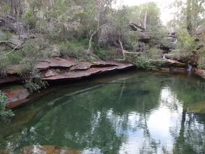
Western Commission track Dam
(4km) Dam → Int of WCT and OGNR
(12km) Int of WCT and OGNR → Southern end of the Wat Trail
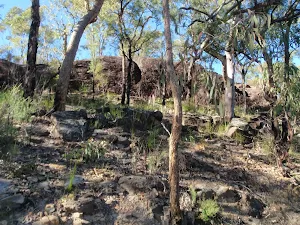
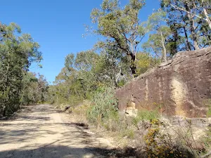
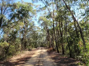
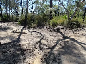
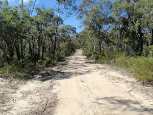
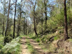
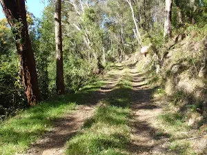
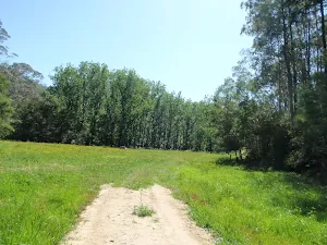
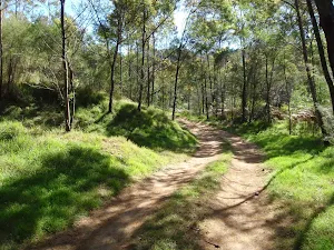
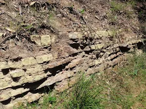
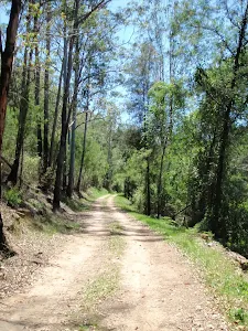
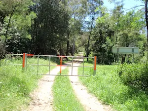
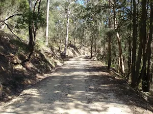
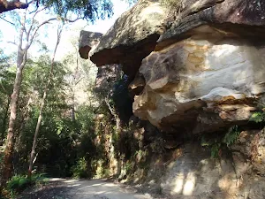
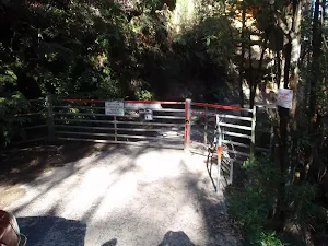
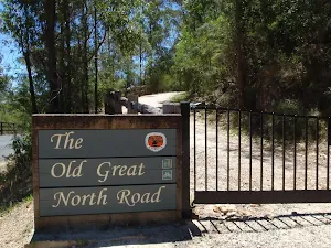
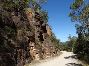
Continue straight: From the intersection, this walk follows the OGNR as it head downhill, bending to the right (keeping the valley on the right). Soon, there are some nice views to the left and the trail heads uphill. Near the top of the hill, this walk ignores the '144-147' trail (on the right) and heads across the sandstone cutting. As the trail bends around the gully, there are some cuttings in the rock on the right. Where the trail bends sharply right, there is an intersection with the gated Wat track (on the left).
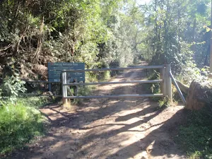
(14km) Southern end of the Wat Trail → Wat Buddha Dhamma
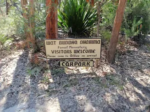
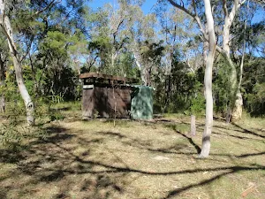
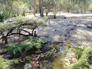
Wat Buddha Dhamma
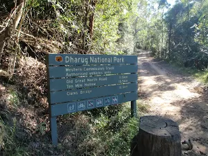
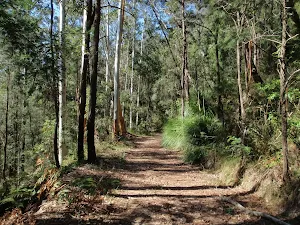
(15km) Wat Buddha Dhamma → Ten Mile Hollow
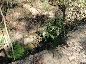
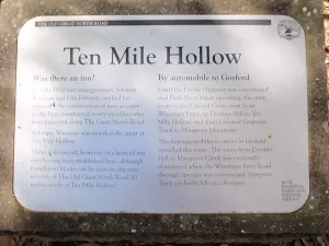
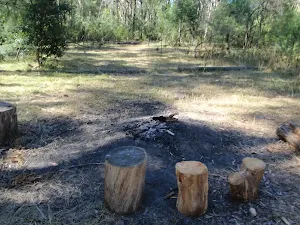
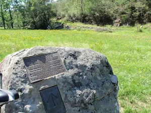
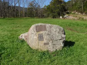
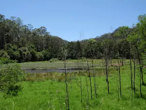
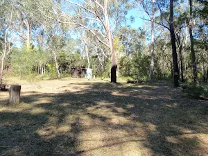
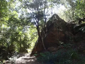
Ten Mile Hollow
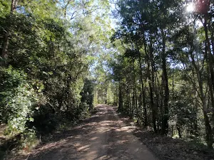
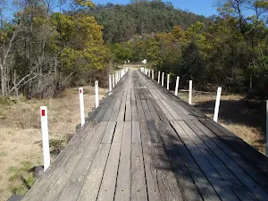
(16km) Ten Mile Hollow → Clares Bridge
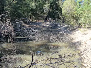
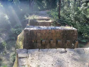
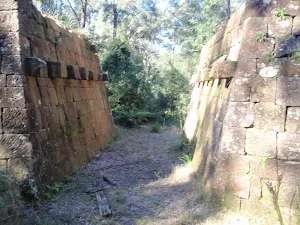
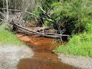
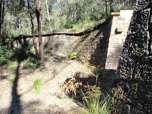
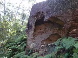
Clares Bridge
End of day 1
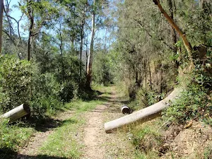
(16km) Ten Mile Hollow → Simpsons Cave
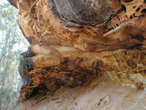
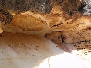
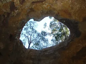
Simpsons Cave
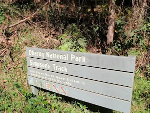
(18km) Simpsons Cave → Int of Ten Mile Hollow Rd and Simpsons track
(21km) Int of Ten Mile Hollow Rd and Simpsons track → Int below Fairview Homestead
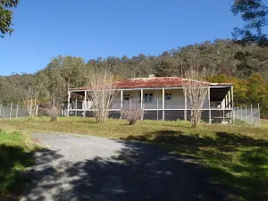
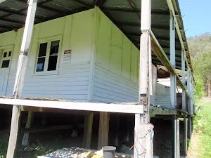
(23km) Int below Fairview Homestead → Fairview Homestead
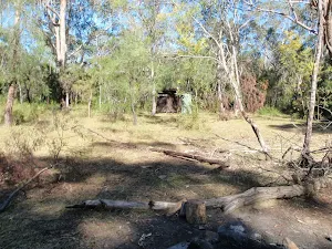
Fairview
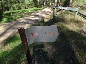
(23km) Int below Fairview Homestead → Int of Ten Mile Hollow Rd and Donnys track
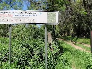
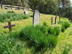
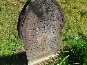
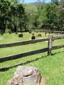
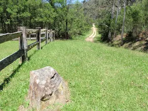
(24km) Int of Ten Mile Hollow Rd and Donnys track → Upper Mangrove cemetery
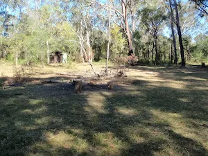
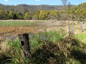
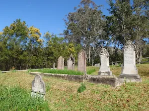
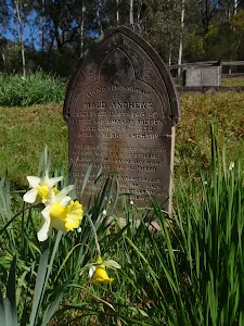
Upper Mangrove Cemetery
(25km) Upper Mangrove cemetery → Int of Dubbo Gully Rd and Upper Mangrove Creek Rd
(26km) Int of Dubbo Gully Rd and Upper Mangrove Creek Rd → Dubbo Gully Rd car park
Maps for the Western Commission Track to Dubbo Gully walk
You can download the PDF for this walk to print a map.
These maps below cover the walk and the wider area around the walk, they are worth carrying for safety reasons.
| Gunderman | 1:25 000 Map Series | 91313S GUNDERMAN | NSW-91313S |
| Mangrove | 1:25 000 Map Series | 91313N MANGROVE | NSW-91313N |
| Gosford | 1:100 000 Map Series | 9131 GOSFORD | 9131 |
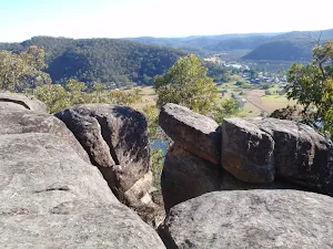
Cross sectional view of the Western Commission Track to Dubbo Gully bushwalking track
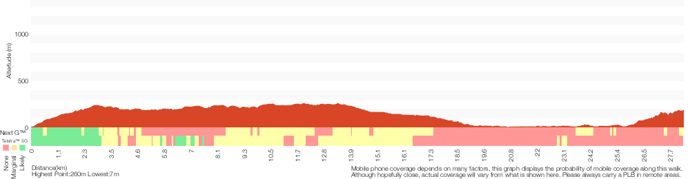
Analysis and summary of the altitude variation on the Western Commission Track to Dubbo Gully
Overview of this walks grade – based on the AS 2156.1 – 2001
Under this standard, a walk is graded based on the most difficult section of the walk.
| Length | 28.3 km | ||
| Time | 2 Days | ||
| . | |||
Grade 3/6 Moderate track | AS 2156.1 | Gradient | Short steep hills (3/6) |
| Quality of track | Clear and well formed track or trail (2/6) | ||
| Signs | Directional signs along the way (3/6) | ||
| Experience Required | Some bushwalking experience recommended (3/6) | ||
| Weather | Weather generally has little impact on safety (1/6) | ||
| Infrastructure | Limited facilities, not all cliffs are fenced (3/6) |
Some more details of this walks Grading
Here is a bit more details explaining grading looking at sections of the walk
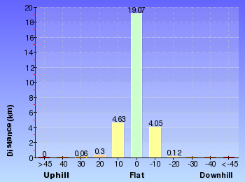
Gradient
Around 16km of this walk has gentle hills with occasional steps, whilst the remaining 12km has short steep hills.
Quality of track
This whole walk, 28km follows a clear and well formed track or trail.
Signs
Around 24km of this walk has directional signs at most intersection, whilst the remaining 4.3km is clearly signposted.
Experience Required
Around 16km of this walk requires no previous bushwalking experience, whilst the remaining 12km requires some bushwalking experience.
weather
This whole walk, 28km is not usually affected by severe weather events (that would unexpectedly impact safety and navigation).
Infrastructure
Around 21km of this walk has limited facilities (such as not all cliffs fenced), whilst the remaining 8km is close to useful facilities (such as fenced cliffs and seats).
Similar walks
A list of walks that share part of the track with the Western Commission Track to Dubbo Gully walk.
Dubbo Gully to Upper Mangrove Cemetery
7.2 km Return, 3 hrs 15 mins
Moderate track
Dubbo Gully and Ten Mile Hollow Circuit (via Clares Bridge)
24.3 km Circuit, 2 Days
Hard track
Great North Road and Dubbo Gully
27.3 km One way, 2 Days
Hard track
Other Nearby walks
A list of walks that start near the Western Commission Track to Dubbo Gully walk.
Finchs Line viewpoint
4.4 km Return, 2 hrs 15 mins
Moderate track
11km Circuit
8.2 km Circuit, 4 hrs 15 mins
Hard track
Grass Tree circuit
1.7 km Circuit, 1 Hr
Moderate track
Devines Hill
3.6 km Return, 2 hrs
Moderate track
Devines Hill and Finchs Line circuit
9.9 km Circuit, 4 hrs 30 mins
Moderate track
Hangmans Rock
2.2 km Return, 1 hr 15 mins
Moderate track
Shepherds Gully
4.3 km Return, 2 hrs
Moderate track
Shepherds Gully and Devines Hill
4 km One way, 2 hrs
Moderate track
248 Track
8.3 km Return, 3 hrs 15 mins
Moderate track
Emerald Pool circuit from Ironbark Rd
10.8 km Circuit, 4 hrs 15 mins
Hard track
Ironbark Rd to Glenworth Valley
10.1 km Return, 4 hrs 15 mins
Hard track
Plan your trip to and from the walk here
The Western Commission Track to Dubbo Gully walk starts at the Bottom end of Western Commission Track (gps: -33.395783, 151.01401)
The Western Commission Track to Dubbo Gully ends at the Dubbo Gully Rd car park (gps: -33.293017, 151.15119)
Weather Forecast
This walk starts in the Hunter weather district.
Current Alerts
Park Information
Dharug National Park
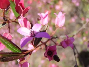
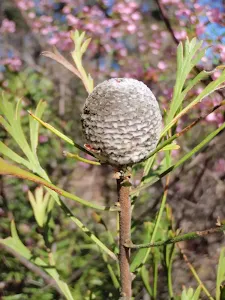
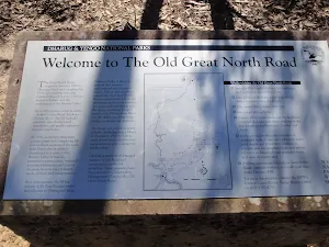
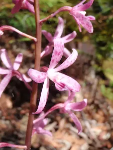
Named after the traditional custodians (the Darug People), this park has much history and some great sandstone formations. The wildflowers in spring add a wonderful touch of colour to the bushland. The Old Great North Road including its quarries, bridges and other features improves access and provides a great deal of interest for visitors. Close to Sydney and Gosford, it feels like stepping back in time when visiting this park.
Yengo National Park
Yengo National park is a large and seemingly remote park. The park stretches from Wisemans Ferry to near Singleton. The park is bound by Putty Rd (and Wollemi NP) on the west. The park has been subject to logging in the past, particularly around Mount Yengo. Much of the park is difficult to access, increasing the sense of wilderness. Yengo NP is part of the Greater Blue Mountains World Heritage area and is home to sections of the Old Great North Road.
Mcpherson State Forest
Mcpherson State Forest is a forest found west of Wyong on the NSW central Coast. The forest surrounds Mangrove Creek, just south of the Dam and boarders with Yengo National Park.
Comments
Short URL: http://wild.tl/wcttdg