Hobart Beach to Games Bay
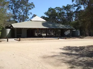

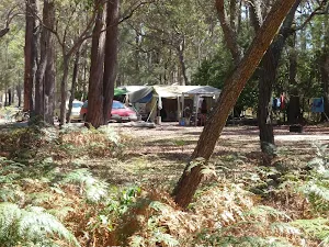
Hobart Beach campground
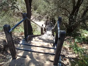
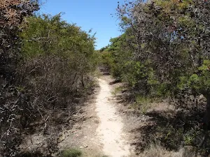
(0km) Hobart Beach large shelter → Ocean beaches carpark Trk
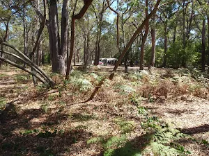
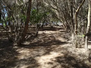
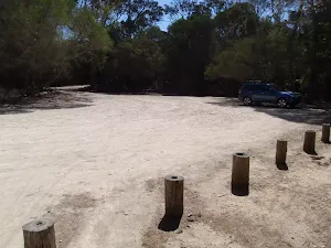
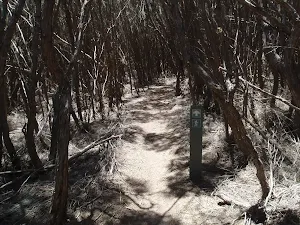
Turn sharp right: From the intersection, this walk heads directly away from the lake, towards the slight clearing on the left and past the white dot on the tree. The track meanders through the melaleuca for a short time to open out onto a car park, with a signpost pointing back to 'Wallagoot Lake'[1].
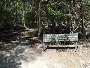
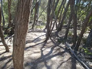
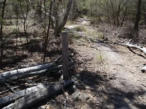
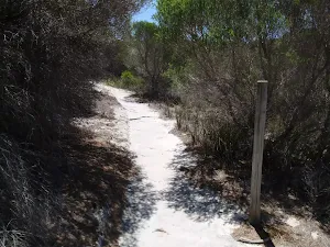
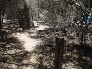
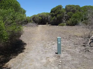
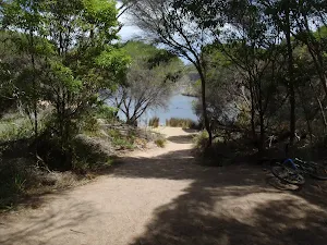
Turn left: From the middle of the carpark, this walk follows the sign to 'Wallagoot Beach'[2] away from the carpark (not the 'Wallagoot Lake' sign next to the picnic table). The wide track soon comes to a timber boardwak and a three way intersection maked with a 'Hobart Beach camp' sign[3] point back to the carpark. From this intersection the walk heads along the timber boardwalk following the 'Ocean Beaches' sign[4]. The boardwalk soon end and the track winds through the melaleuca to come to a three way intersection marked with a 'Parking Area' sign[5] pointing back along the track.
(1km) Ocean beaches carpark Trk → Wallagoot Beach
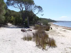
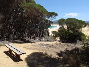
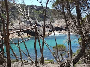
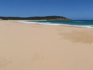
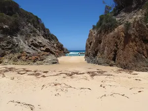
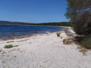
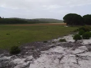
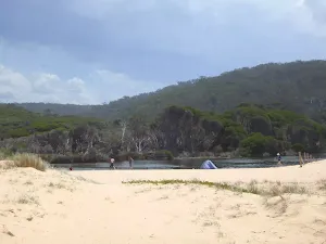
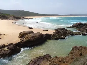
Wallagoot Beach
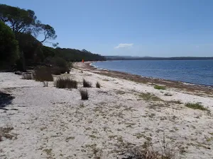
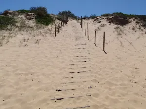
(1km) Wallagoot Beach → Wallagoot Beach North
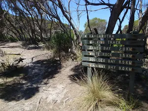
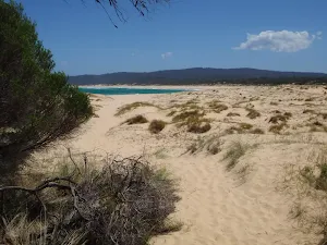
(3km) Wallagoot Beach North → Int. Wallagoot Gap and Kangarutha Trks
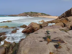
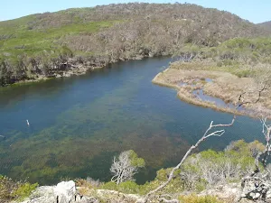
(3km) Int. Wallagoot Gap and Kangarutha Trks → Wallagoot Gap
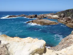
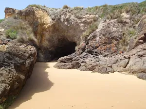
Wallagoot Gap
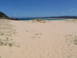
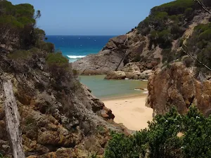
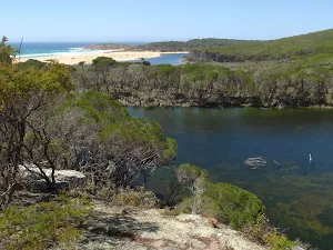
(3km) Int. Wallagoot Gap and Kangarutha Trks → Games Bay
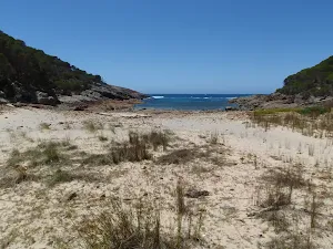
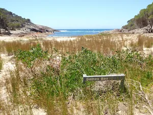
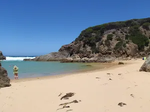
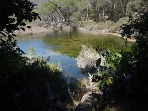
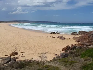
Games Bay
Maps for the Hobart Beach to Games Bay walk
You can download the PDF for this walk to print a map.
These maps below cover the walk and the wider area around the walk, they are worth carrying for safety reasons.
| Wolumla | 1:25 000 Map Series | 88242N WOLUMLA | NSW-88242N |
| Bega | 1:100 000 Map Series | 8824 BEGA | 8824 |
Cross sectional view of the Hobart Beach to Games Bay bushwalking track
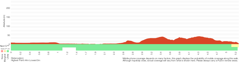
Analysis and summary of the altitude variation on the Hobart Beach to Games Bay
Overview of this walks grade – based on the AS 2156.1 – 2001
Under this standard, a walk is graded based on the most difficult section of the walk.
| Length | 10.5 km | ||
| Time | 3 hrs 30 mins | ||
| . | |||
Grade 4/6 Hard track | AS 2156.1 | Gradient | Short steep hills (3/6) |
| Quality of track | Rough track, where fallen trees and other obstacles are likely (4/6) | ||
| Signs | Minimal directional signs (4/6) | ||
| Experience Required | No experience required (1/6) | ||
| Weather | Weather generally has little impact on safety (1/6) | ||
| Infrastructure | Limited facilities (such as cliffs not fenced, significant creeks not bridged) (4/6) |
Some more details of this walks Grading
Here is a bit more details explaining grading looking at sections of the walk
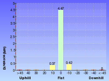
Gradient
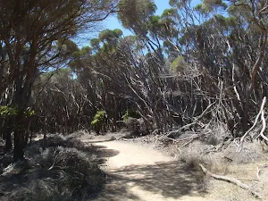
3km of this walk has short steep hills and another 2km is flat with no steps. The remaining (330m) has gentle hills with occasional steps.
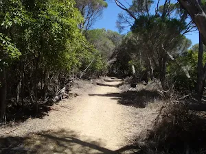
Quality of track
2.4km of this walk follows a rough track, where fallen trees and other obstacles are likely and another 2.4km follows a formed track, with some branches and other obstacles. The remaining (480m) follows a clear and well formed track or trail.
Signs
2.4km of this walk has minimal directional signs and another 2.4km has directional signs at most intersection. The remaining (480m) is clearly signposted.
Experience Required
This whole walk, 5km requires no previous bushwalking experience.
weather
This whole walk, 5km is not usually affected by severe weather events (that would unexpectedly impact safety and navigation).
Infrastructure
2.4km of this walk has limited facilities (such as cliffs not fenced, significant creeks not bridged) and another 2.4km has limited facilities (such as not all cliffs fenced). The remaining (480m) is close to useful facilities (such as fenced cliffs and seats).
Similar walks
A list of walks that share part of the track with the Hobart Beach to Games Bay walk.
Wallagoot Gap
648 m Return, 15 mins
Easy track
Wallagoot Beach
1 km Return, 30 mins
Moderate track
Hobart Beach loop
1.2 km Circuit, 45 mins
Moderate track
Wallagoot car park to Games Bay
5.2 km Return, 2 hrs
Hard track
Hobart Beach to Wallagoot Gap
6 km Return, 1 hr 45 mins
Moderate track
Hobart Beach to Bournda Island Loop
7.6 km Circuit, 2 hrs 15 mins
Hard track
Kangarutha Track
8.8 km One way, 4 hrs
Hard track
Wallagoot Gap to White Rock
9 km Return, 3 hrs 30 mins
Hard track
Hobart Beach, Bournda Lagoon and Beach loop
10.6 km Circuit, 3 hrs 45 mins
Hard track
Kangarutha Track to Hobart Beach
11.5 km One way, 4 hrs 30 mins
Hard track
Other Nearby walks
A list of walks that start near the Hobart Beach to Games Bay walk.
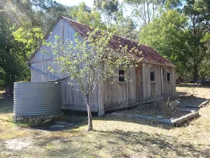
Scotts Hut
3.6 km Return, 1 hr 15 mins
Easy track
Hobart Beach camping area to Bournda Lagoon
5 km Return, 1 hr 30 mins
Moderate track
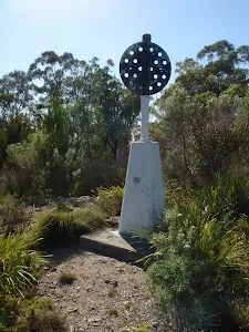
Hobart Beach camping area to Bournda Trig loop
8 km Circuit, 3 hrs 30 mins
Experienced only
Hobart Beach camping area to Bondi Lake
5 km Return, 1 hr 45 mins
Experienced only
Bournda Beach car park to Beach
464 m Return, 10 mins

Moderate track
Bournda Lagoon lookout
482 m Return, 12 mins
Hard track
Bournda Lagoon via North Tura Lookout
5.2 km Circuit, 2 hrs
Hard track
Bournda Lagoon
286 m Return, 5 mins
Moderate track
Bournda Lagoon car park to Bournda Island
2.1 km Return, 45 mins
Hard track
Bournda Lagoon to North Tura
1.8 km One way, 45 mins
Moderate track
North Tura Beach to Bournda Lagoon
3.5 km One way, 1 hr 15 mins
Hard track
North Tura car park to Bournda Island
2.3 km Return, 45 mins
Hard track
Plan your trip to and from the walk here
The Hobart Beach to Games Bay walk starts and ends at the Hobart Beach large shelter (gps: -36.797000, 149.93998)
Weather Forecast
This walk starts in the South Coast weather district.
Current Alerts
Park Information
Bournda National Park
Comments
Short URL: http://wild.tl/hbtgb