Maroubra to La Perouse

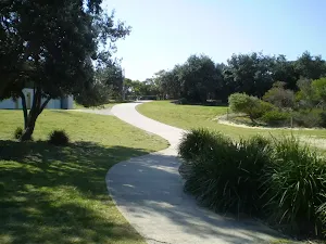


(0km) South Maroubra SLSC → Cromwell Park
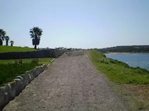
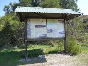
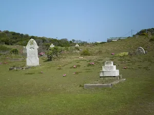
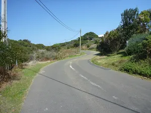
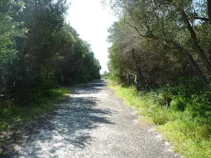
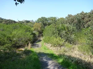
(4km) Cromwell Park → Coast Hospital Cemetery
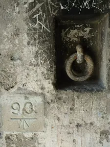
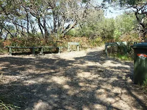
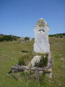
Coast Hospital Cemetery
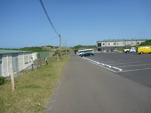
(9km) Coast Hospital Cemetery int. → Int of Cape Banks Rd & Cemetery Trail
(9km) Int of Pistol Club Rd AND Coastal Cemetery Management Trail → Southern End of Pistol Club Rd
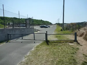
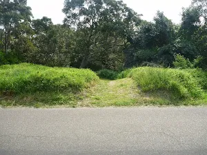
(9km) Southern End of Cape Banks Rd → Old toilet bock int.

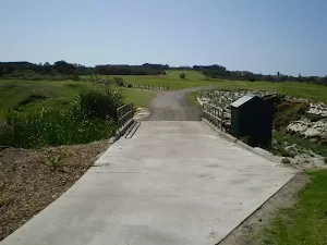
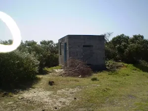
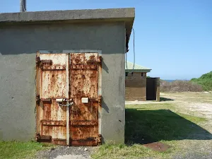
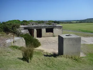
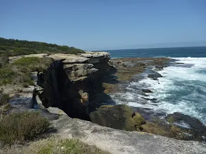
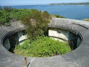
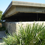
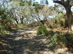
(9km) World War Two Bunker → Cape Banks bridge int.
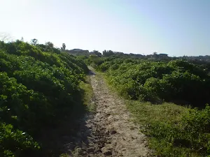
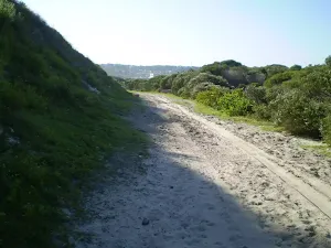
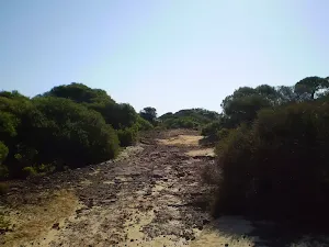
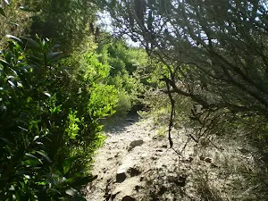
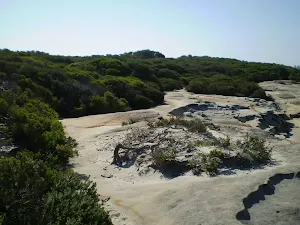
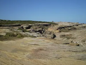
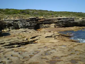
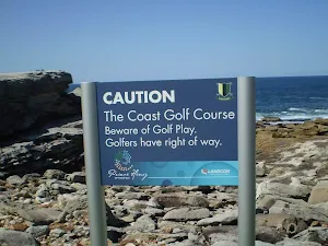
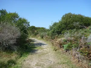
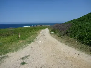
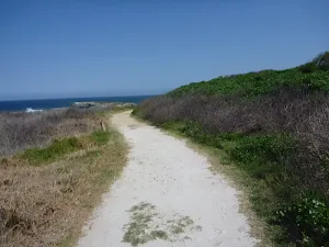
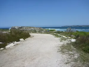
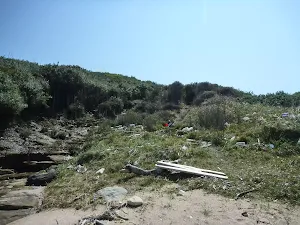
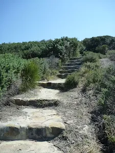
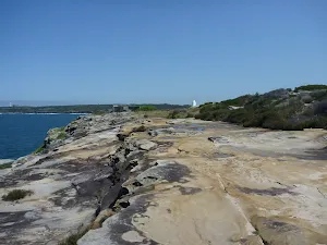
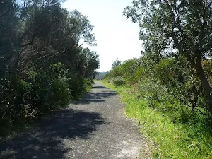
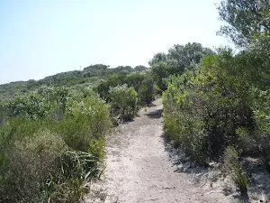
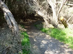
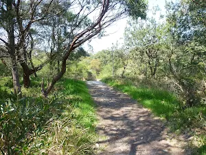
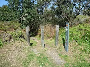
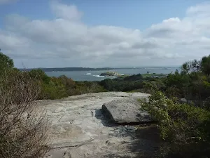
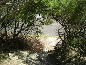
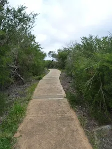
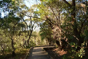
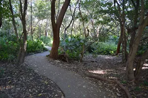
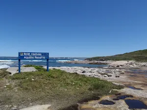
Veer right: From the intersection, this walk heads gently downhill along the grassy management trail keeping the ocean to the left[27]. After about 30m the trail descends steeply down a rough[28] 30m section, then leads more gently downhill for 100m before leading down another very steep and rough section of trail[29] mostly flattening out near the apex of a large cleft in the sea cliff[30]. Here the trail continues more gently downhill for another 160m towards the golf course and ocean, passing a large rock platform[31] (on the left) coming to concrete footpath marked with two 'Cape Banks Aquatic Reserve' signs[32] just after the 'Cape Bank' map signpost[33]. Be mindful of golfers and golf balls.

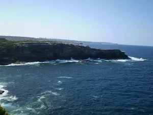
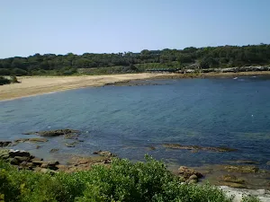
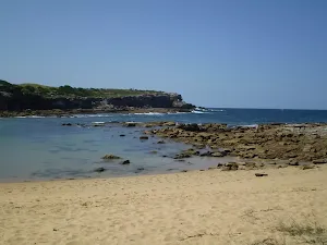
(10km) Cape Banks bridge int. → Cape Banks

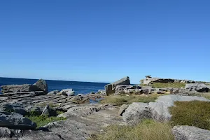
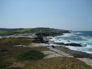
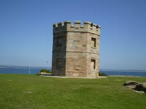
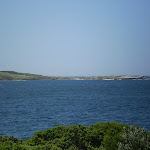
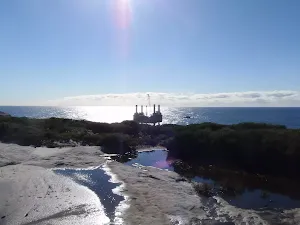
Cape Banks
(10km) North end of Cape Banks Bridge → Cruwee Cove
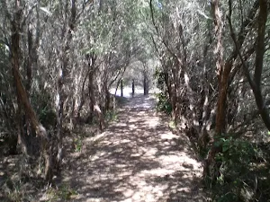
(10km) Cruwee Cove → Henry Head
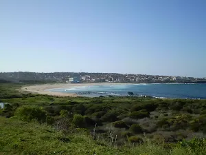
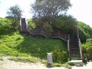
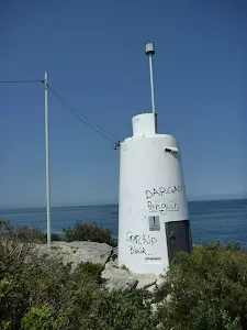
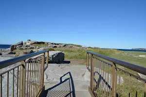
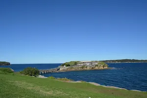
Henry Head
(11km) Henry Head → Int of Henry Head and Browns Rock Tracks
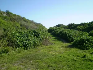
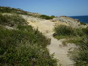
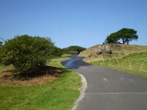
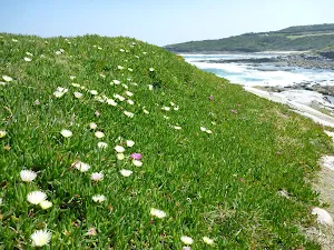
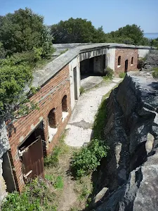
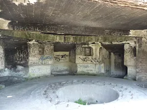
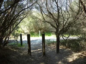
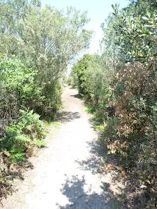
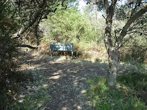
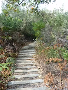
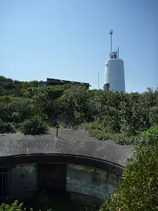
Turn left: From the intersection[66], this walk follows a wide sandy track (passing between timber posts), heading up a moderately steep hill through dense forest. After about 100m, the walk comes to views of Bare Island[67] (on the left). approximately 130m further along the track, the walk finds a World War One fort[68] (on the left). This walk continues to follow the level wide track for another 70m, until coming to a three-way intersection, with a track and bench seat[69] on the left.
Turn left: From the intersection[70], this walk follows the wide track down the moderately steep hill, passing a bench seat[71] on your left. The track heads through low coastal forest, with views of Bare Island[72] on the left after about 140m. The walk continues gently downhill for another 70m, until coming to four-way intersection[73] with a 'Browns Rock' signed[74] track (on the left), a moderately steeply downhill track[75] ahead and a gently uphill track[76] (on the right).
(12km) Int of Henry Head and Browns Rock Tracks → Browns Rock
Browns Rock
(12km) Int of Henry Head and Browns Rock Tracks → Int of Henry Head Track and Henry Head Lane Track
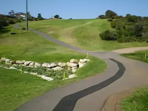
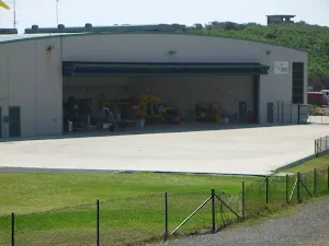
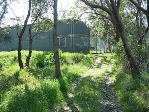
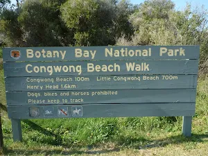
Continue straight: From the intersection[91], this walk follows the wide track gently downhill, initially keeping the large green shed[92] on the right. Then, this walk continues to follow the forested track for about 170m, until coming to a three-way intersection[93], with a 'Henry Head' and 'Congwong Beach' sign[94] (on the left) and track[95] (on the right).
(12km) Int of Henry Head Track & Henry Head Lane Track → Int of Henry Head Lane & Henry Head Lane Track
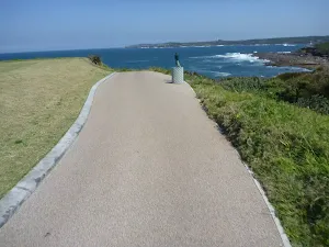
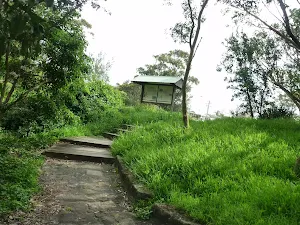
(12km) Int of Henry Head Lane AND Henry Head Track → Henry Head Viewpoint
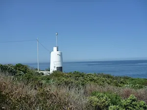
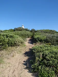
Henry Head Viewpoint
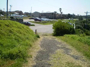
(13km) Henry Head Viewpoint → Int of Anzac Parade AND Henry Head Track
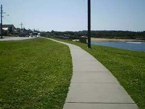
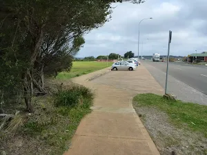
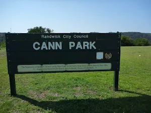
(13km) Int of Anzac Parade AND Henry Head Track → Southern end of Cann Park
Maps for the Maroubra to La Perouse walk
You can download the PDF for this walk to print a map.
These maps below cover the walk and the wider area around the walk, they are worth carrying for safety reasons.
| Botany Bay | 1:25 000 Map Series | 91303S BOTANY BAY | NSW-91303S |
| Bondi | 1:25 000 Map Series | 91302S BONDI | NSW-91302S |
| Sydney | 1:100 000 Map Series | 9130 SYDNEY | 9130 |
Cross sectional view of the Maroubra to La Perouse bushwalking track
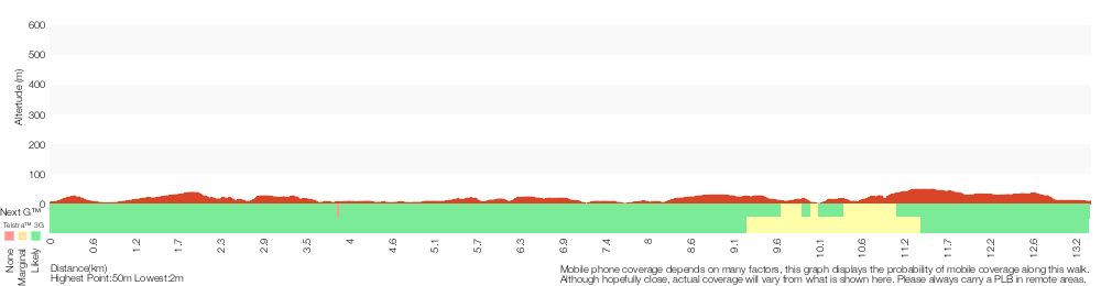
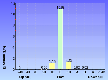
Analysis and summary of the altitude variation on the Maroubra to La Perouse
Overview of this walks grade – based on the AS 2156.1 – 2001
Under this standard, a walk is graded based on the most difficult section of the walk.
| Length | 13.4 km | ||
| Time | 5 hrs | ||
| . | |||
Grade 4/6 Hard track | AS 2156.1 | Gradient | Very steep (4/6) |
| Quality of track | Rough track, where fallen trees and other obstacles are likely (4/6) | ||
| Signs | Minimal directional signs (4/6) | ||
| Experience Required | Moderate level of bushwalking experience recommended (4/6) | ||
| Weather | Storms may impact on navigation and safety (3/6) | ||
| Infrastructure | Limited facilities (such as cliffs not fenced, significant creeks not bridged) (4/6) |
Some more details of this walks Grading
Here is a bit more details explaining grading looking at sections of the walk
Gradient
7km of this walk has short steep hills and another 6km has gentle hills with occasional steps. Whilst another 850m is very steep and the remaining 95m is flat with no steps.
Quality of track
10km of this walk follows a formed track, with some branches and other obstacles and another 2.3km follows a clear and well formed track or trail. Whilst another 1.3km follows a rough track, where fallen trees and other obstacles are likely and the remaining 260m follows a smooth and hardened path.
Signs
6km of this walk is clearly signposted and another 6km has directional signs at most intersection. The remaining (1.3km) has minimal directional signs.
Experience Required
7km of this walk requires no previous bushwalking experience and another 5km requires some bushwalking experience. The remaining (1.3km) requires a leader a with moderate level of bushwalking experience.
weather
Around 12km of this walk is not usually affected by severe weather events (that would unexpectedly impact safety and navigation), whilst the remaining 1.3km is affected by storms that may impact your navigation and safety.
Infrastructure
6km of this walk is close to useful facilities (such as fenced cliffs and seats) and another 6km has limited facilities (such as not all cliffs fenced). The remaining (1.3km) has limited facilities (such as cliffs not fenced, significant creeks not bridged).
Similar walks
A list of walks that share part of the track with the Maroubra to La Perouse walk.
Cape Banks Island walk
1.5 km Return, 45 mins
Hard track
Cape Banks Walk
1.9 km Return, 1 hr 30 mins
Hard track
Henry Head Walk
4.2 km Return, 1 hr 30 mins
Moderate track
Cape Banks Circuit
6.6 km Circuit, 3 hrs
Hard track
Henry Head Circuit
6.8 km Circuit, 3 hrs
Hard track
Bare Island to Maroubra via Henry Head
13 km One way, 5 hrs
Hard track
Other Nearby walks
A list of walks that start near the Maroubra to La Perouse walk.
Jennifer Street Boardwalk
750 m Return, 30 mins
Easy track
La Perouse Historical Walk
792 m Circuit, 30 mins
Easy track
Little Congwong Beach Walk
1.1 km Return, 30 mins

Moderate track
Bare Island Walk
866 m Return, 30 mins
Easy track
Botany Bay Discovery Centre to Cape Baily
8.8 km Return, 3 hrs
Moderate track
Banks-Solander Track
960 m Circuit, 20 mins
Easy track
Muru and Yena Tracks
2.8 km Circuit, 1 hr 30 mins
Moderate track
Burrawang foreshore walk
1.1 km One way, 30 mins
Very easy
Cape Baily track from visitor centre (return)
8.9 km Return, 3 hrs

Moderate track
Cape Baily track from visitor centre to Boat Harbour Reserve
5.7 km One way, 2 hrs 30 mins
Hard track
Botany Bay Coastal Walk
12.7 km One way, 4 hrs 15 mins
Hard track
Plan your trip to and from the walk here
The Maroubra to La Perouse walk starts at the South Maroubra SLSC (gps: -33.951624, 151.25497)
The Maroubra to La Perouse ends at the Southern end of Cann Park (gps: -33.988577, 151.23365)
Weather Forecast
This walk starts in the Metropolitan weather district.
Current Alerts
Park Information
Botany Bay National Park
Comments
Short URL: http://wild.tl/mtlp