Second Ponds Creek walk


20 mins

11 m
Moderate track


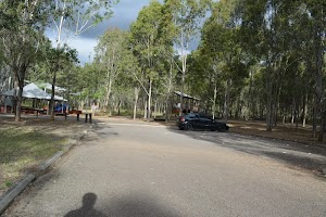
Rouse Hill main car park
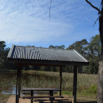
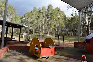
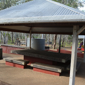
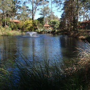
Rouse Hill main Picnic area and playground


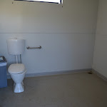
(0km) Rouse Hill main car park → Toilet Block

150 m
2 mins
1m
-2m
Very easy


(0km) Rouse Hill main car park → Maze Intersection
70 m
2 mins
0m
-2m
Easy track
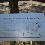
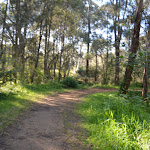
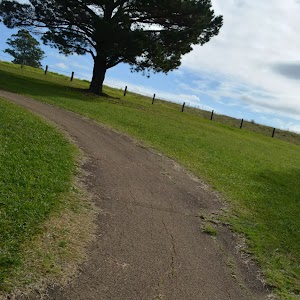
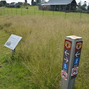
Continue straight: From the intersection, this walk follows the mostly flat dirt/gravel track[21], directly away from the car park and asphalt path to head behind the ‘Rouse Hill Regional Park’ sign[22]. The track gently bends left[23] and after 35m comes to a clear 3-way intersection, marked by a ‘Take a stroll around’ sign[24] (behind the timber maze).
(0.07km) Maze Intersection → Second Ponds northern int.
270 m
4 mins
0m
-4m
Moderate track


(0.34km) Second Ponds northern int. → Second Ponds Picnic shelters
190 m
3 mins
3m
0m
Easy track
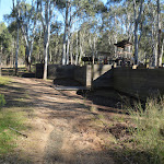
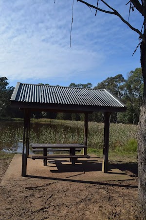
Continue straight: From the intersection, this walk follows the wide gravel track gently uphill initially keeping large clearing on the left. After about 70m this walk leads alongside a dam[34] (on the right) and comes to a sheltered picnic table (on the edge of the dam). The walk continues along the wide gravel track for another 50m to find two more similar picnic shelters (on the right). At the end of this side trip, retrace your steps back to the main walk then Continue straight.


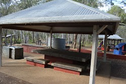
Second Ponds Picnic shelters
(0.34km) Second Ponds northern int. → Maze Intersection
460 m
8 mins
9m
-5m
Moderate track

(0.8km) Maze Intersection → Rouse Hill main car park
70 m
2 mins
2m
0m
Easy track
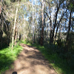
Continue straight: From the intersection, this walk heads directly away from the face of ‘Rouse Hill Regional Park’ sign[48] along the gravel track, keeping the playground on the right. After about 15m this walk comes to a ‘Welcome to Rouse Hill Regional Park’ sign[49]. From here this walk follows the concrete path for 15m, past the sheltered picnic area to come to the main Rouse Hill Regional Park car park[50].
Maps for the Second Ponds Creek walk walk
You can download the PDF for this walk to print a map.These maps below cover the walk and the wider area around the walk, they are worth carrying for safety reasons.
| Riverstone | 1:25 000 Map Series | 90301S RIVERSTONE | NSW-90301S |
| Penrith | 1:100 000 Map Series | 9030 PENRITH | 9030 |
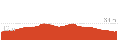
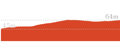
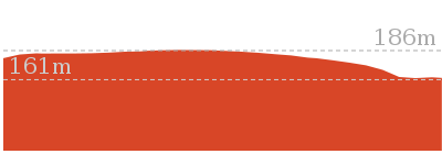
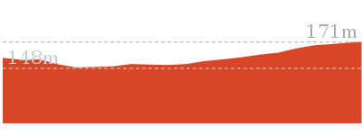
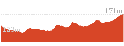
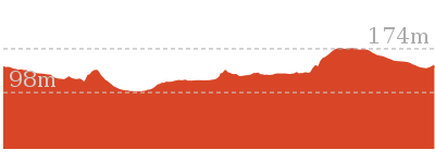
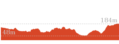
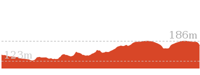
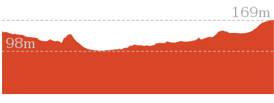
Cross sectional view of the Second Ponds Creek walk bushwalking track
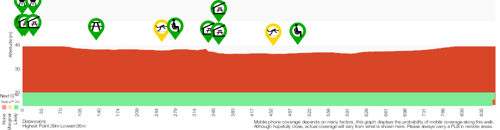
Analysis and summary of the altitude variation on the Second Ponds Creek walk
Accessibility summary information for the Second Ponds Creek walk
Toilets: There are 0 designated accessible toilets on this walk.
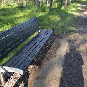
Seats: There are 5 places to sit on this walk. They are on average 130m apart, with a maximum gap of 220m.
Hazards: There are 2 specific noteable accessability related hazards on this walk.
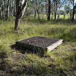
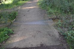
Trip Hazard Concrete creek ford. The ford is 2.3m wide 3.3m long and has a gradient in and out of 2:12. Found about 250m into the walk.
Trip Hazard Concrete creek ford. The ford is 2.4m wide 2.9m long and has a gradient in and out of 2:12. Found about 460m into the walk.
Accessibility Details


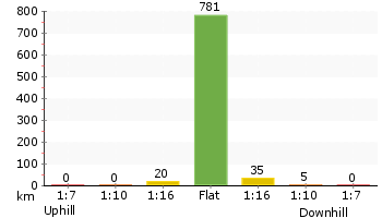
Overview of this walks grade – based on the AS 2156.1 – 2001
Under this standard, a walk is graded based on the most difficult section of the walk.
| Length | 865 m | ||
| Time | 20 mins | ||
| . | |||
| Grade 3/6 Moderate track |
AS 2156.1 | Gradient | Gentle hills with occasional steps (2/6) |
| Quality of track | Clear and well formed track or trail (2/6) | ||
| Signs | Directional signs along the way (3/6) | ||
| Experience Required | No experience required (1/6) | ||
| Weather | Storms may impact on navigation and safety (3/6) | ||
| Infrastructure | Generally useful facilities (such as fenced cliffs and seats) (1/6) |
Some more details of this walks Grading
Here is a bit more details explaining grading looking at sections of the walk
Gradient
Around 800m of this walk has gentle hills with occasional steps, whilst the remaining 65m is flat with no steps.
Quality of track
Around 800m of this walk follows a clear and well formed track or trail, whilst the remaining 65m follows a smooth and hardened path.
Signs
Around 730m of this walk has directional signs at most intersection, whilst the remaining 140m is clearly signposted.
Experience Required
This whole walk, 870m requires no previous bushwalking experience.
weather
Around 460m of this walk is affected by storms that may impact your navigation and safety, whilst the remaining 410m is not usually affected by severe weather events (that would unexpectedly impact safety and navigation).
Infrastructure
This whole walk, 870m is close to useful facilities (such as fenced cliffs and seats).
Similar walks
1.5 km Circuit
45 mins
Moderate track
Other Nearby walks
1.8 km Return
45 mins
Easy track

499 m One way
15 mins
Easy track

12.9 km One way
5 hrs 30 mins
Hard track

12.6 km One way
5 hrs 30 mins
Hard track
1.4 km Return
30 mins
Moderate track
515 m One way
15 mins
Moderate track
2.2 km One way
1 Hr
Moderate track
5.1 km Circuit
2 hrs
Hard track
9 km One way
3 hrs 45 mins
Hard track
4.1 km One way
1 hr 45 mins
Moderate track

4.4 km One way
1 hr 45 mins
Moderate track
439 m Circuit
15 mins
Moderate track
Plan your trip to and from the walk here
The Second Ponds Creek walk walk starts and ends at the Rouse Hill main car park (gps: -33.680471, 150.91068)Your main transport option to Rouse Hill main car park is by;
(get details)


Short URL = http://wild.tl/spcw
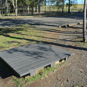
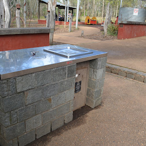
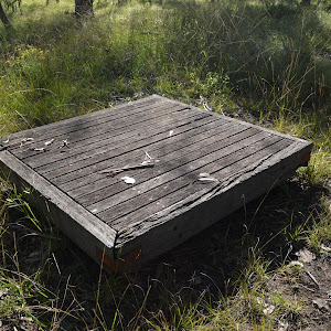
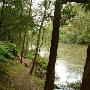
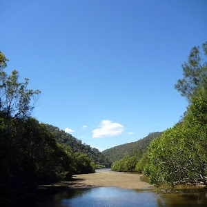
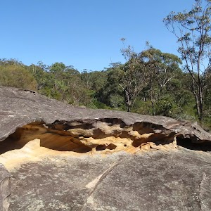
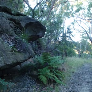
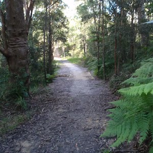
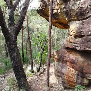
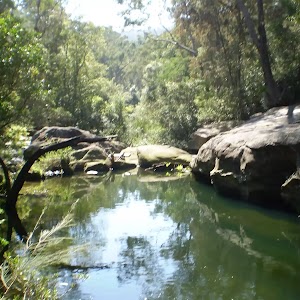
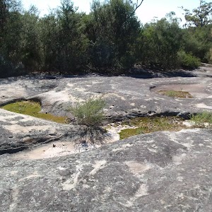
Gallery images
There are other downloads I am still working on.
You will probably need to login to access these — still all free.
* KML (google earth file)
* GPX (GPS file)
Special Maps/ brochures
* A3 topo maps
* PDF with Lands Topo map base
* PDF with arial image (and map overlay)
I wanted to get the main site live first, this extra stuff will come in time.
Happy walking
Matt 🙂
Comments