Gibberagong Track


2 hrs 30 mins

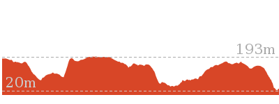
180 m
Hard track
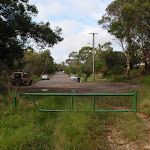


(0km) End of Grosvenor Rd → Gibberagong Track Lookout Int.

120 m
2 mins
3m
-4m
Easy track
(0.12km) Gibberagong Track Lookout Int. → End of Gibberagong trail
1.2 km
20 mins
5m
-22m
Easy track
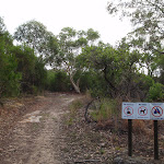
(1.36km) End of Gibberagong trail → Gibberagong AND Murrua Track Int.
800 m
18 mins
7m
-103m
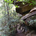
Hard track
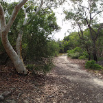
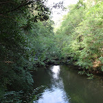
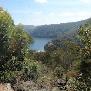
(2.16km) Int of Gibberagong and Murrua Link Tracks → Gibberagong waterhole
40 m
1 mins
1m
-2m
Moderate track
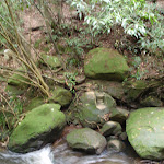
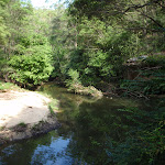
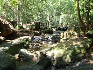
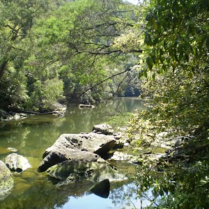
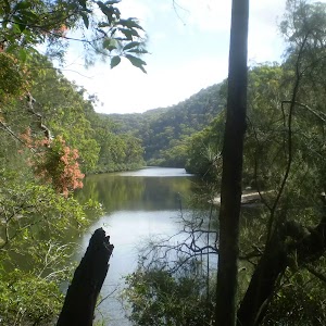
Gibberagong waterhole
(2.19km) Gibberagong waterhole → Int of Bobbin Head and Rainforest tracks
3.2 km
1 hr 9 mins
129m
-170m
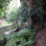
Moderate track
(5.39km) Int of Bobbin Head and Rainforest tracks → Bobbin Head Rainforest
190 m
5 mins
15m
-7m
Moderate track
Bobbin Head Rainforest
(5.39km) Int of Bobbin Head and Rainforest tracks → Aboriginal Axe Grindings
20 m
0m
-3m
Easy track
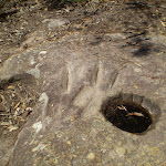
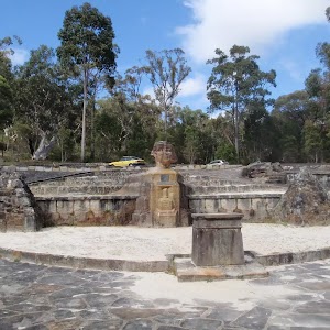
Aboriginal Axe Grindings
(5.42km) Aboriginal Axe Grindings → South End of Bobbin Head Park
600 m
13 mins
25m
-32m
Moderate track
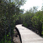
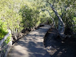
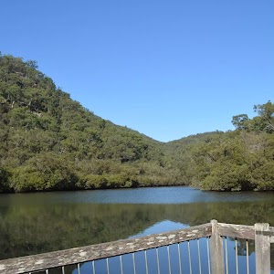
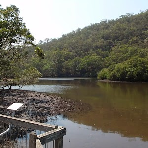
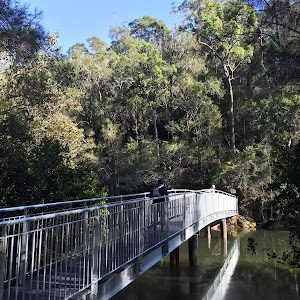
Continue straight: From the ‘More? you want more?’ information sign[73], this walk follows the timber boardwalk as it winds among the mangroves and saltmarsh[74]. Keep an eye out for missing boards and the lack of side capping on the edge of the boardwalk. The boardwalk leads past the ‘Land Developers?’[75] and ‘Natural Recycler’[76] information signs as it winds for about 100m to a fenced viewing area[77] marked with a ‘Teeming with life!’ information sign[78].

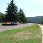
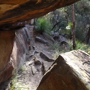
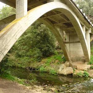
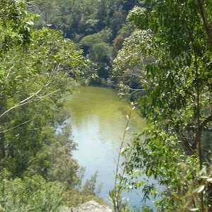
Continue straight: From the viewing area[79], this walk follows the fenced timber boardwalk keeping the main body of visible water to your right. After about 25m this walk crossed Cockle Creek on a cable-stayed foot bridge[80]. There are some great water and cliff views from the bridge. On the other side the footpath the path bends right to find a sandstone cave (with a 1.9m clearance[81]) with a ‘Rock Solid?’ information sign[82]. Here the walk continues along the patterned concrete path for about 20m to pass a bench seat, then another 20m there is another similar bench seat. A short distance later the path leads past the sheltered ‘Welcome to the Mangrove Boardwalk & Gibberagong Track’ information sign[83] (on your left). This walk then continues along the footpath for another 20m to the car park[84] and a small constructed sandstone wall with a ‘Gibberagong Track. Mangrove Boardwalk.’ sign[85]. There are a number of picnic tables beside the car park.


(6.02km) South End of Bobbin Head Park → Bobbin Head Kiosk
510 m
9 mins
10m
-5m
Very easy
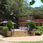
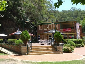
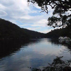
Bobbin Head
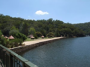

Bobbin Inn Cafe
Maps for the Gibberagong Track walk
You can download the PDF for this walk to print a map.These maps below cover the walk and the wider area around the walk, they are worth carrying for safety reasons.
| Hornsby | 1:25 000 Map Series | 91304S HORNSBY | NSW-91304S |
| Ku-ring-gai Chase National Park Tourist Map | 1:40 000 Map Series | CMA Ku-ring-gai Chase National Park Tourist Map | CMA Ku-ring-gai Chase National Park Tourist Map |
| Sydney | 1:100 000 Map Series | 9130 SYDNEY | 9130 |
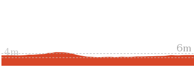
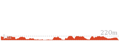
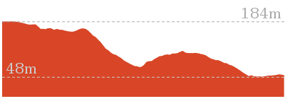
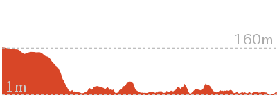
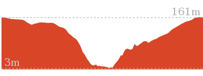
Cross sectional view of the Gibberagong Track bushwalking track
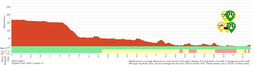
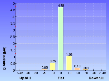
Analysis and summary of the altitude variation on the Gibberagong Track
Overview of this walks grade – based on the AS 2156.1 – 2001
Under this standard, a walk is graded based on the most difficult section of the walk.
| Length | 6.5 km | ||
| Time | 2 hrs 30 mins | ||
| . | |||
| Grade 4/6 Hard track |
AS 2156.1 | Gradient | Very steep (4/6) |
| Quality of track | Formed track, with some branches and other obstacles (3/6) | ||
| Signs | Directional signs along the way (3/6) | ||
| Experience Required | Some bushwalking experience recommended (3/6) | ||
| Weather | Storms may impact on navigation and safety (3/6) | ||
| Infrastructure | Limited facilities, not all cliffs are fenced (3/6) |
Some more details of this walks Grading
Here is a bit more details explaining grading looking at sections of the walk
Gradient
4.9km of this walk has gentle hills with occasional steps and another 800m is flat with no steps. The remaining (800m) is very steep.
Quality of track
4.4km of this walk follows a formed track, with some branches and other obstacles and another 1.4km follows a clear and well formed track or trail. The remaining (780m) follows a smooth and hardened path.
Signs
Around 4km of this walk has directional signs at most intersection, whilst the remaining 2.5km is clearly signposted.
Experience Required
Around 4km of this walk requires some bushwalking experience, whilst the remaining 2.5km requires no previous bushwalking experience.
weather
Around 4km of this walk is affected by storms that may impact your navigation and safety, whilst the remaining 2.5km is not usually affected by severe weather events (that would unexpectedly impact safety and navigation).
Infrastructure
Around 4km of this walk has limited facilities (such as not all cliffs fenced), whilst the remaining 2.5km is close to useful facilities (such as fenced cliffs and seats).
Similar walks
552 m Return
15 mins
Very easy
1.6 km Return
40 mins
Moderate track

12.9 km Circuit
5 hrs
Hard track

14.7 km One way
5 hrs 30 mins
Hard track

Other Nearby walks
11 km One way
4 hrs 30 mins
Hard track

5 km One way
1 hr 45 mins
Moderate track

9.6 km Circuit
4 hrs
Moderate track

10.7 km One way
4 hrs 45 mins
Hard track


6.7 km Circuit
3 hrs
Hard track

16.1 km One way
6 hrs 45 mins
Hard track

43.1 km One way
3 Days
Hard track
5.6 km Return
2 hrs 30 mins
Hard track
9.7 km One way
4 hrs
Hard track
22.3 km One way
9 hrs
Hard track
6.2 km One way
2 hrs 45 mins
Moderate track
3.4 km One way
1 hr 30 mins
Moderate track
Plan your trip to and from the walk here
The Gibberagong Track walk starts at the End of Grosvenor Rd (gps: -33.695978, 151.12669)Your transport options to End of Grosvenor Rd are by;
(get details)
The Gibberagong Track ends at the Bobbin Head Kiosk (gps: -33.659696, 151.15912)
Your main transport option to Bobbin Head Kiosk is by;
(get details)


Short URL = http://wild.tl/gt
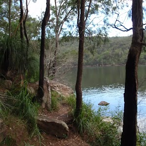
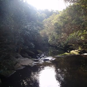
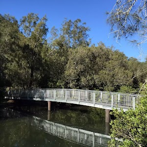
Gallery images
There are other downloads I am still working on.
You will probably need to login to access these — still all free.
* KML (google earth file)
* GPX (GPS file)
Special Maps/ brochures
* A3 topo maps
* PDF with Lands Topo map base
* PDF with arial image (and map overlay)
I wanted to get the main site live first, this extra stuff will come in time.
Happy walking
Matt 🙂
Comments