Bare Island Walk
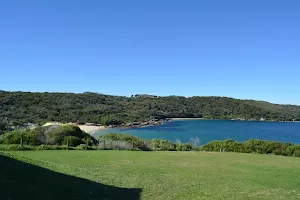

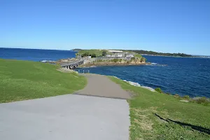
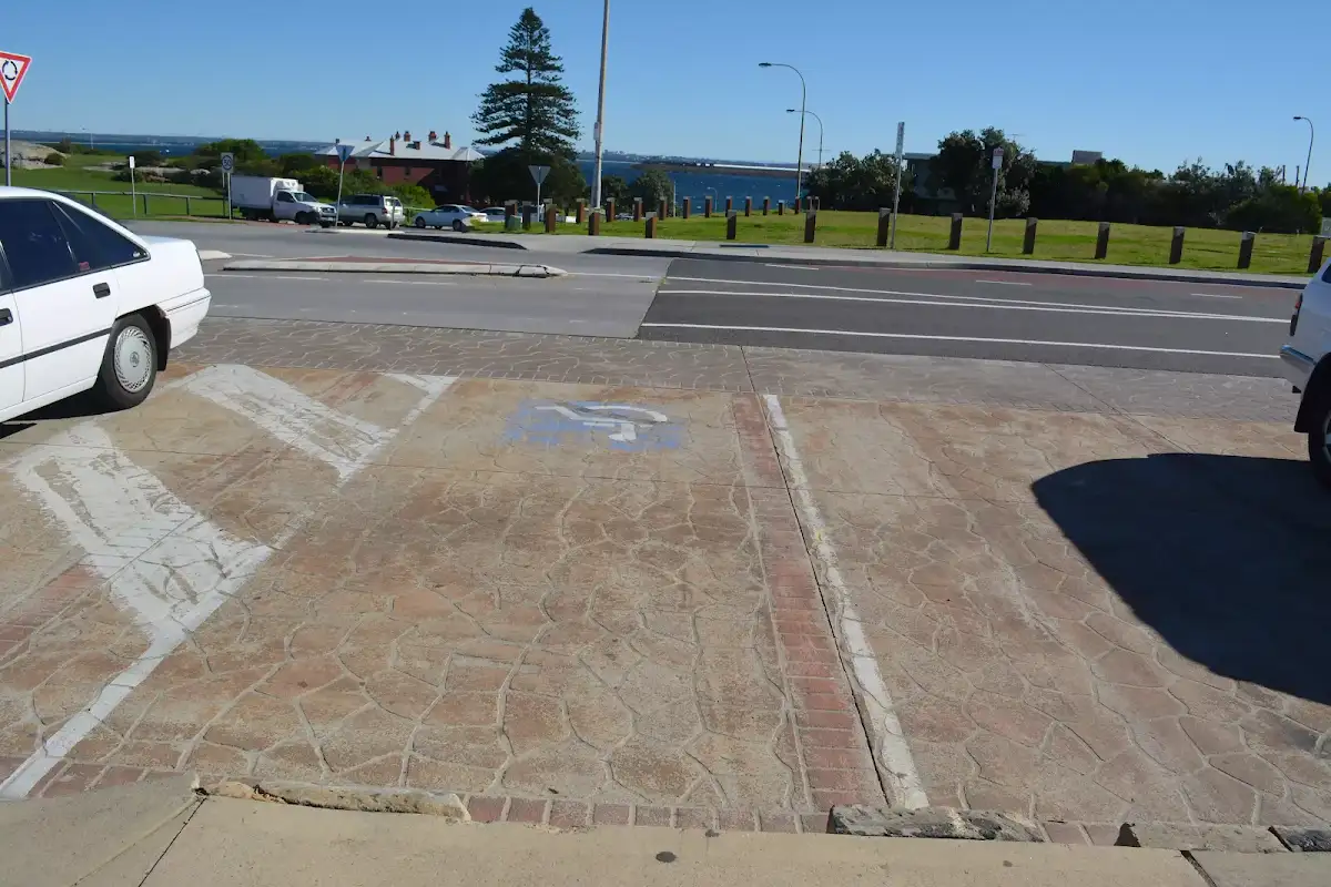
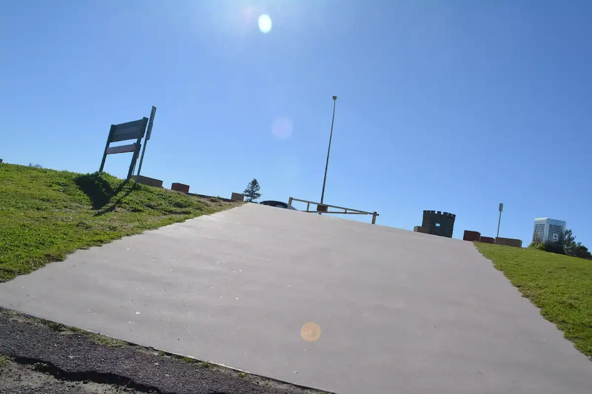
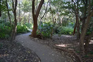
(0km) Southern end of Cann Park → Top of Bare Island trail


(0km) Southern End of Cann Park → Top of Bare Island Trail
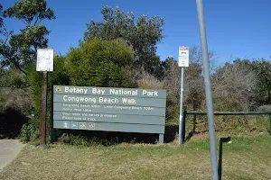
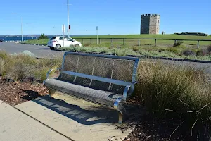
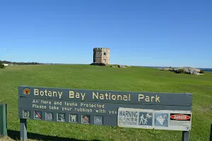
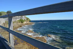
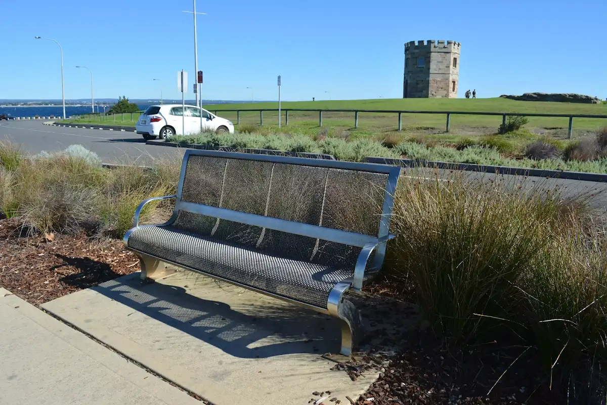
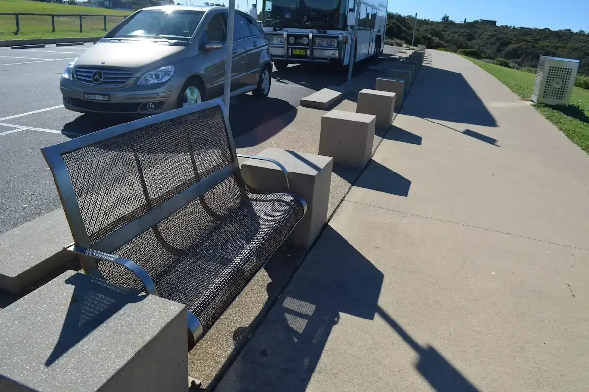
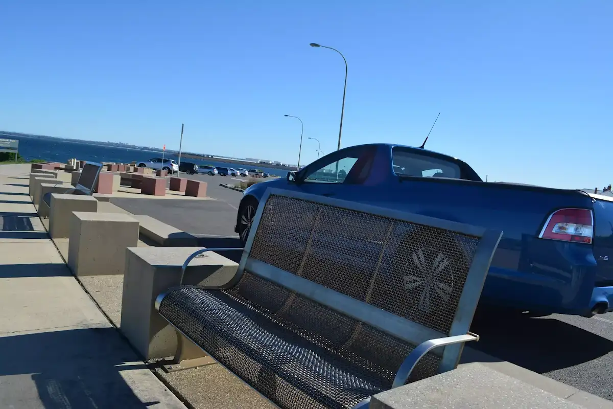
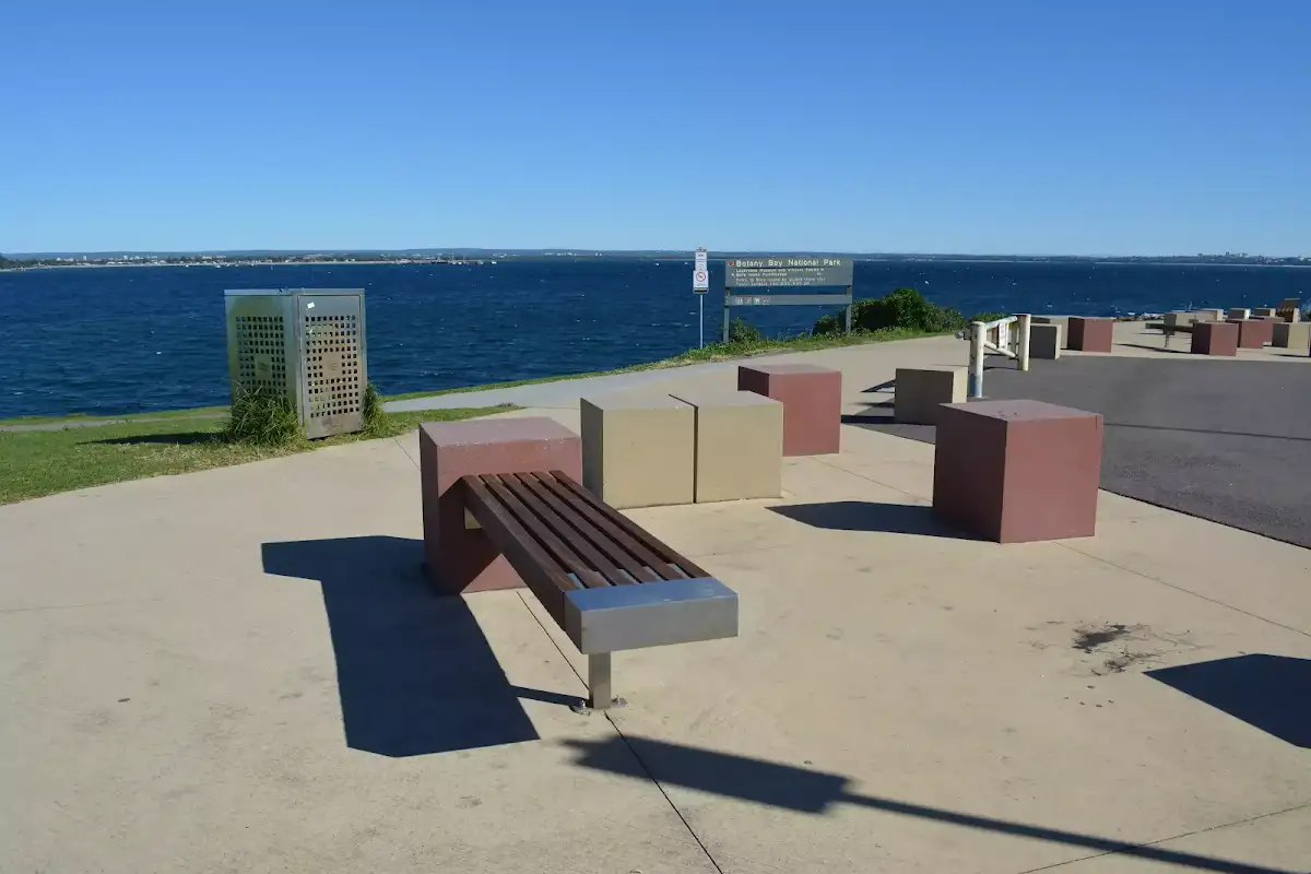
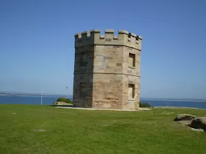
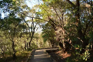
Continue straight: From the stone tower (The Barrack Tower[11]), this walk heads gently downhill, towards the water, over grass for about 80m. The walk then heads down the steps and across Anzac Rd[12] so find a few seats at the top of Bare Island Trail[13] beside the large 'Botany Bay National Park' sign[14]. Now Continue straight to rejoin the main walk .
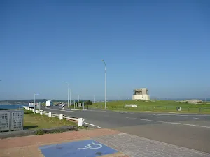
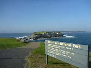
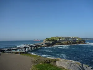
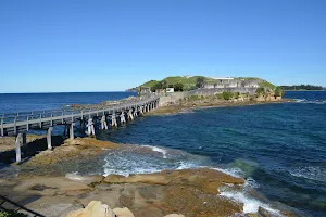
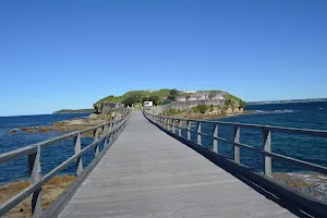
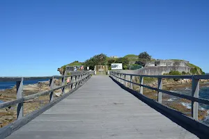
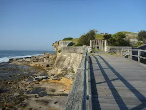
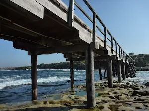
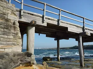
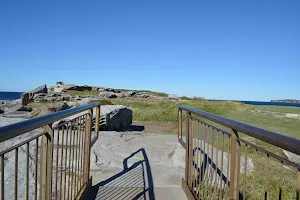
(0km) Top of Bare Island trail → Bare Island Fortification

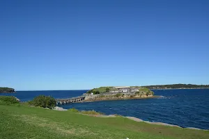
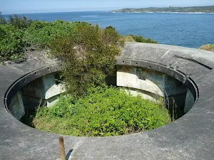
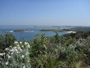
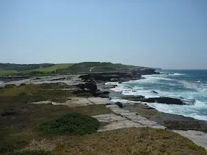
Bare Island Fortification
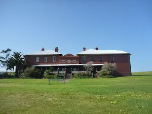
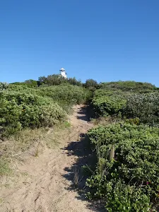
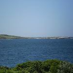
La Perouse Museum
Maps for the Bare Island Walk walk
You can download the PDF for this walk to print a map.
These maps below cover the walk and the wider area around the walk, they are worth carrying for safety reasons.
| Botany Bay | 1:25 000 Map Series | 91303S BOTANY BAY | NSW-91303S |
| Sydney | 1:100 000 Map Series | 9130 SYDNEY | 9130 |
Cross sectional view of the Bare Island Walk bushwalking track

Analysis and summary of the altitude variation on the Bare Island Walk

Accessibility Profile
This page is designed to give you a sense of the facilities that help improve access for people with disabilities or mobility restrictions. See tracknotes and map for navigation, point of interest and other information. See the Accessibility Details below for specific information about each facility.
Accessibility Details
Overview of this walks grade – based on the AS 2156.1 – 2001
Under this standard, a walk is graded based on the most difficult section of the walk.
| Length | 866 m | ||
| Time | 30 mins | ||
| . | |||
Grade 2/6 Easy track | AS 2156.1 | Gradient | Gentle hills with occasional steps (2/6) |
| Quality of track | Clear and well formed track or trail (2/6) | ||
| Signs | Clearly signposted (1/6) | ||
| Experience Required | No experience required (1/6) | ||
| Weather | Weather generally has little impact on safety (1/6) | ||
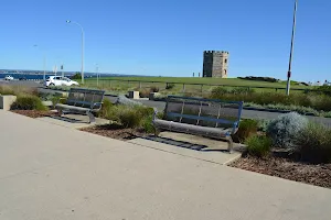
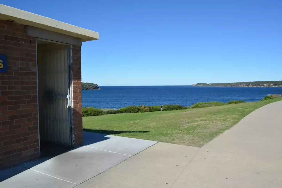
| Infrastructure | Generally useful facilities (such as fenced cliffs and seats) (1/6) |
Some more details of this walks Grading
Here is a bit more details explaining grading looking at sections of the walk
Gradient
Around 240m of this walk is flat with no steps, whilst the remaining 190m has gentle hills with occasional steps.
Quality of track
Around 240m of this walk follows a smooth and hardened path, whilst the remaining 190m follows a clear and well formed track or trail.
Signs
This whole walk, 430m is clearly signposted.
Experience Required
This whole walk, 430m requires no previous bushwalking experience.
weather
This whole walk, 430m is not usually affected by severe weather events (that would unexpectedly impact safety and navigation).
Infrastructure
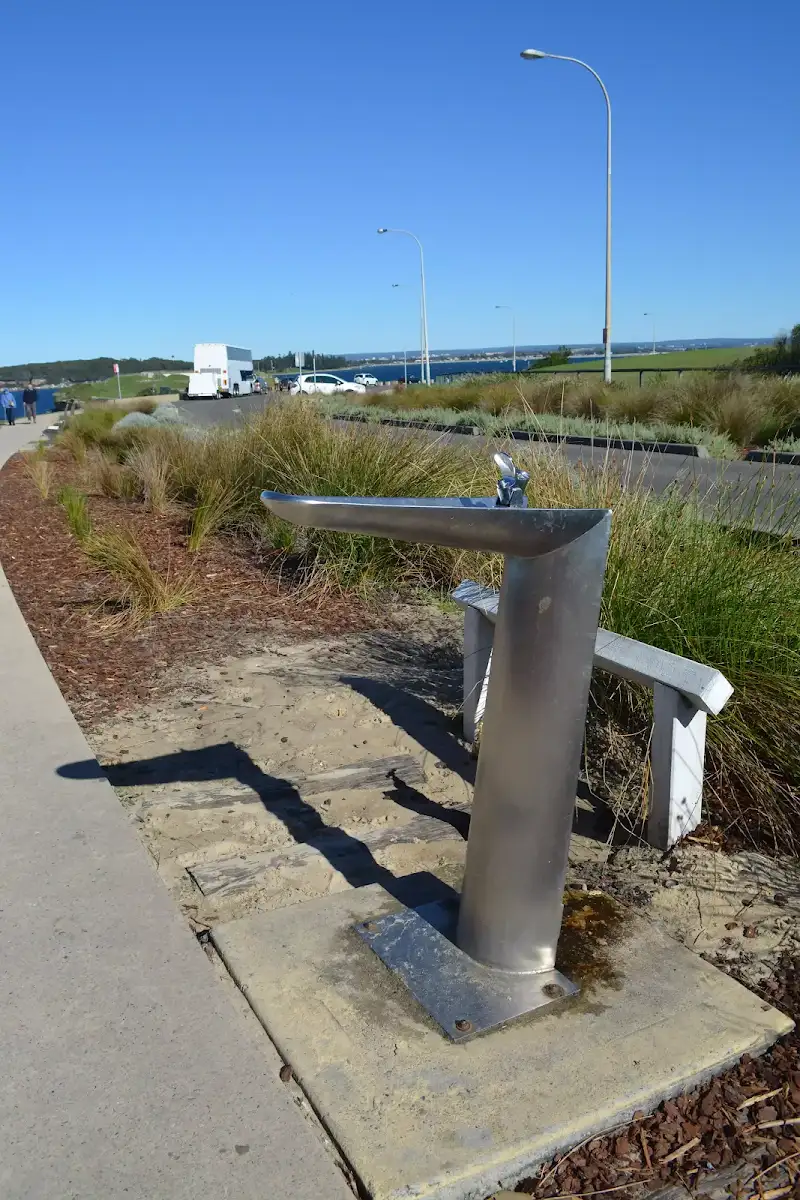
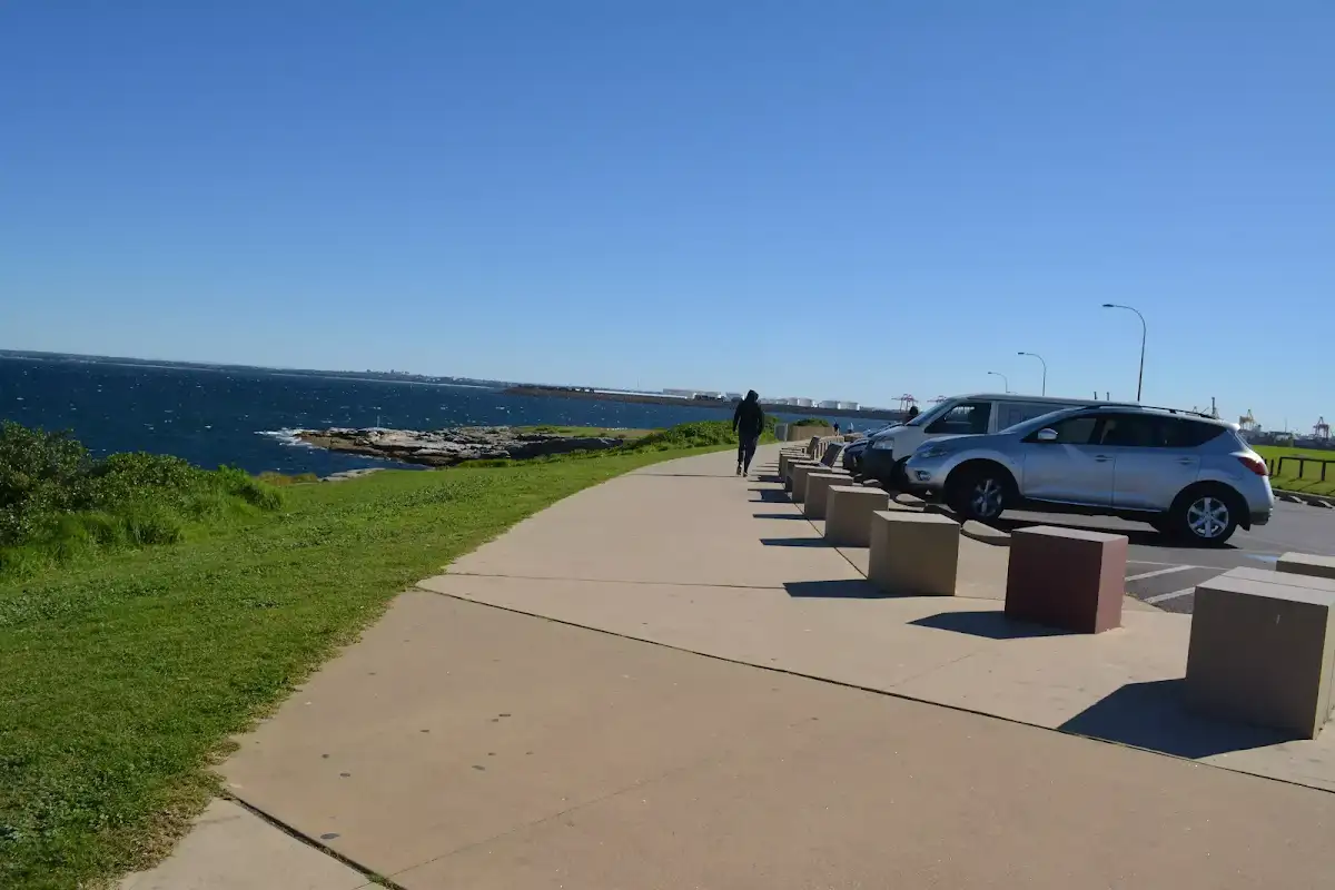
This whole walk, 430m is close to useful facilities (such as fenced cliffs and seats).
Similar walks
A list of walks that share part of the track with the Bare Island Walk walk.
La Perouse Historical Walk
792 m Circuit, 30 mins
Easy track
Other Nearby walks
A list of walks that start near the Bare Island Walk walk.
Henry Head Walk
4.2 km Return, 1 hr 30 mins
Moderate track
Bare Island to Maroubra via Henry Head
13 km One way, 5 hrs
Hard track
Cape Banks Circuit
6.6 km Circuit, 3 hrs
Hard track
Henry Head Circuit
6.8 km Circuit, 3 hrs
Hard track
Little Congwong Beach Walk
1.1 km Return, 30 mins

Moderate track
Jennifer Street Boardwalk
750 m Return, 30 mins
Easy track
Cape Banks Walk
1.9 km Return, 1 hr 30 mins
Hard track
Cape Banks Island walk
1.5 km Return, 45 mins
Hard track
Botany Bay Discovery Centre to Cape Baily
8.8 km Return, 3 hrs
Moderate track
Banks-Solander Track
960 m Circuit, 20 mins
Easy track
Muru and Yena Tracks
2.8 km Circuit, 1 hr 30 mins
Moderate track
Plan your trip to and from the walk here
The Bare Island Walk walk starts and ends at the Southern end of Cann Park (gps: -33.988591, 151.23364)
Weather Forecast
This walk starts in the Metropolitan weather district.
Current Alerts
Park Information
Botany Bay National Park
Comments
Short URL: http://wild.tl/bhw