Faulconbridge to Springwood via Sassafras Gully


3 hrs

338 m
Hard track


Faulconbridge
(0km) Faulconbridge Station → No. 10 Sir Henrys Pde

410 m
8 mins
10m
-16m
Moderate track
Victory Track

(0.41km) No. 10 Sir Henrys Pde → Int. Victory Trk and Clarinda Falls
1.3 km
38 mins
15m
-173m
Hard track
(1.74km) Int. Victory Trk and Clarinda Falls → Clarinda Falls
30 m
1 mins
1m
-4m
Moderate track
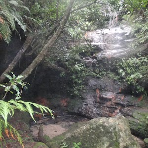
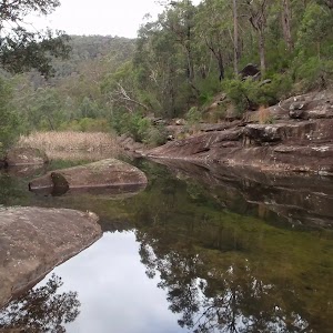
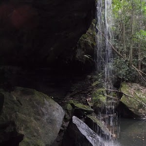
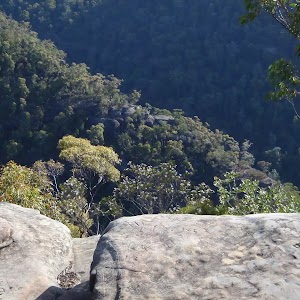
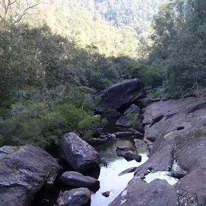
Clarinda Falls

(1.74km) Int. Victory Trk and Clarinda Falls → Victory Trk camping area
630 m
18 mins
23m
-72m
Hard track
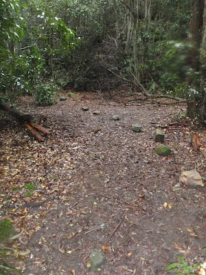
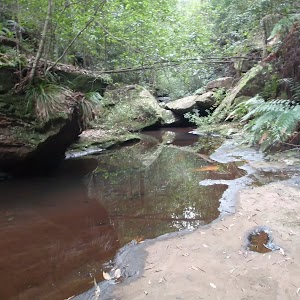
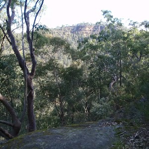
Victory Track camping area
(2.37km) Victory Trk camping area → Victory Trk pool
880 m
24 mins
61m
-78m
Moderate track
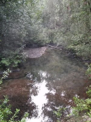
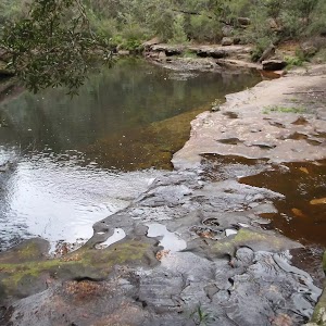
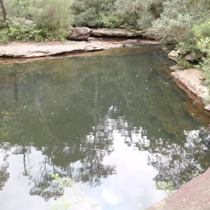
Victory Track pool
(3.24km) Victory Trk pool → No. 18 Sassafras Gully Rd
1.7 km
39 mins
191m
-46m
Hard track
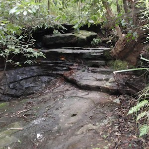
Turn left: From the intersection, the walk follows the ‘Sassafras Gully Rd’ sign[15] up the stairs. The walk crosses a large creek junction and continues up the gully, passing under numerous rock overhangs. Moving away from the creek and its rocky outcrops, the walk steeply climbs the hillside. The walk comes below a rocky outcrop, which it follows around to the right, keeping the outcrop on the right (ignoring the track which leads up the outcrop). The walk comes to an unsignposted intersection with another track.
Turn right: From the intersection, the walk heads up the hill, keeping the rock outcrop to the right. The track tends left towards a house fenceline (house No. 18), which it follows to the end of Sassafras Gully Rd.
(4.92km) No. 18 Sassafras Gully Rd → Springwood Station
1.2 km
23 mins
38m
-35m
Very easy
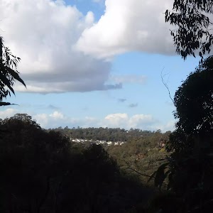
Springwood
Maps for the Faulconbridge to Springwood via Sassafras Gully walk
You can download the PDF for this walk to print a map.These maps below cover the walk and the wider area around the walk, they are worth carrying for safety reasons.
| Springwood | 1:25 000 Map Series | 90304S SPRINGWOOD | NSW-90304S |
| Penrith | 1:100 000 Map Series | 9030 PENRITH | 9030 |
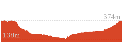
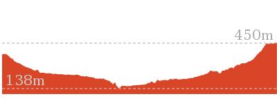
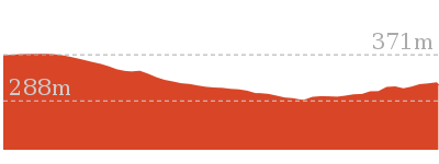
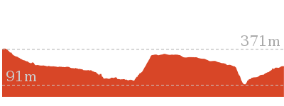
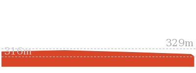
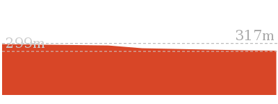
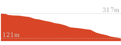
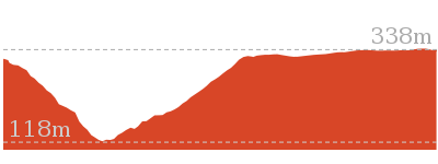
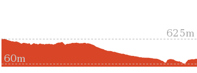
Cross sectional view of the Faulconbridge to Springwood via Sassafras Gully bushwalking track
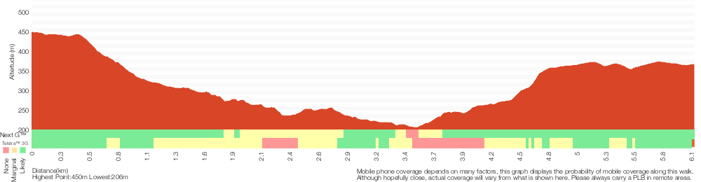
Analysis and summary of the altitude variation on the Faulconbridge to Springwood via Sassafras Gully
Overview of this walks grade – based on the AS 2156.1 – 2001
Under this standard, a walk is graded based on the most difficult section of the walk.
| Length | 6.1 km | ||
| Time | 3 hrs | ||
| . | |||
| Grade 4/6 Hard track |
AS 2156.1 | Gradient | Very steep (4/6) |
| Quality of track | Rough track, where fallen trees and other obstacles are likely (4/6) | ||
| Signs | Directional signs along the way (3/6) | ||
| Experience Required | No experience required (1/6) | ||
| Weather | Weather generally has little impact on safety (1/6) | ||
| Infrastructure | Limited facilities (such as cliffs not fenced, significant creeks not bridged) (4/6) |
Some more details of this walks Grading
Here is a bit more details explaining grading looking at sections of the walk
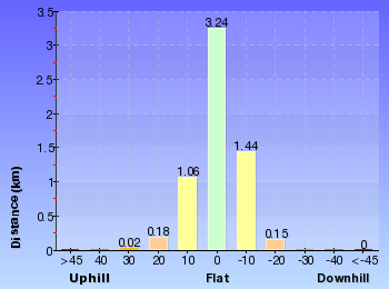
Gradient
3.6km of this walk has short steep hills and another 1.3km is very steep. The remaining (1.2km) is flat with no steps.
Quality of track
3.6km of this walk follows a formed track, with some branches and other obstacles and another 1.6km follows a smooth and hardened path. The remaining (900m) follows a rough track, where fallen trees and other obstacles are likely.
Signs
Around 3.1km of this walk has directional signs at most intersection, whilst the remaining 3km is clearly signposted.
Experience Required
This whole walk, 6km requires no previous bushwalking experience.
weather
This whole walk, 6km is not usually affected by severe weather events (that would unexpectedly impact safety and navigation).
Infrastructure
3km of this walk is close to useful facilities (such as fenced cliffs and seats) and another 2.2km has limited facilities (such as not all cliffs fenced). The remaining (900m) has limited facilities (such as cliffs not fenced, significant creeks not bridged).
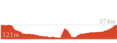
Similar walks
3.5 km Return
2 hrs
Hard track

10.5 km Circuit
4 hrs 15 mins
Hard track
11.5 km One way
5 hrs
Hard track
13.8 km Circuit
6 hrs 30 mins
Hard track
15.2 km One way
2 Days
Experienced only
23.4 km One way
2 Days
Experienced only

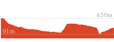
Other Nearby walks
2.7 km Return
1 hr 30 mins
Hard track
13.5 km One way
6 hrs
Experienced only
9 km Return
4 hrs
Hard track
202 m Return
15 mins
Moderate track
180 m Return
15 mins
Moderate track
3.1 km Return
3 hrs 30 mins
Experienced only

1.2 km Return
1 hr 30 mins
Hard track
5.4 km Return
3 hrs 30 mins
Experienced only
15.9 km One way
7 hrs
Experienced only

8.6 km Return
3 hrs 30 mins
Hard track

18.3 km One way
7 hrs 15 mins
Experienced only

29.6 km One way
3 Days
Hard track
Plan your trip to and from the walk here
The Faulconbridge to Springwood via Sassafras Gully walk starts at the Faulconbridge Station (gps: -33.69662, 150.53487)Your transport options to Faulconbridge Station are by;
(get details)
The Faulconbridge to Springwood via Sassafras Gully ends at the Springwood Station (gps: -33.699107, 150.5638)
Your transport options to Springwood Station are by;
(get details)


Short URL = http://wild.tl/ftsvsg
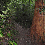
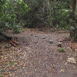
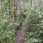
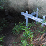
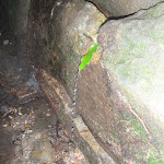
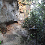
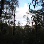
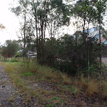
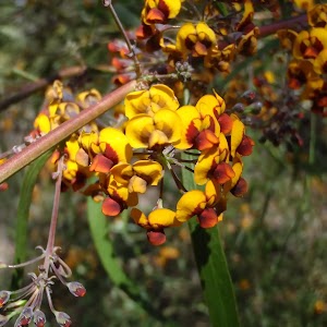
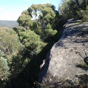
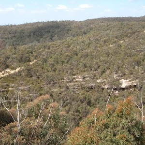
Gallery images
There are other downloads I am still working on.
You will probably need to login to access these — still all free.
* KML (google earth file)
* GPX (GPS file)
Special Maps/ brochures
* A3 topo maps
* PDF with Lands Topo map base
* PDF with arial image (and map overlay)
I wanted to get the main site live first, this extra stuff will come in time.
Happy walking
Matt 🙂
Comments