Bushwalking and hiking trails in Blue Mountains (Leura). Browse 26 walks with detailed track notes, maps and photos.
Solitary Restaurant to Fossil Rock
150 m Return, 15 mins
Moderate track
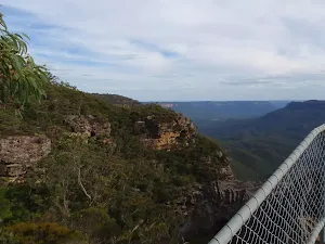
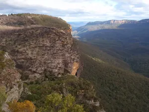
Elysian Rock Lookout track
222 m Return, 15 mins
Moderate track
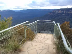
Gordon Falls Lookout Walk
260 m Return, 15 mins
Moderate track

Solitary Restaurant to Jamieson Lookout
308 m Return, 15 mins
Moderate track
Tarpeian Rock
432 m Return, 15 mins
Easy track
Lyrebird Dell walk
538 m Return, 30 mins
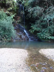
Moderate track
Solitary Kiosk and Restaurant to Copelands Lookout
570 m Return, 20 mins

Moderate track
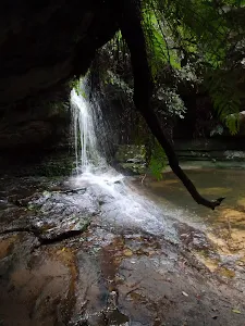
Pool of Siloam
600 m Return, 30 mins
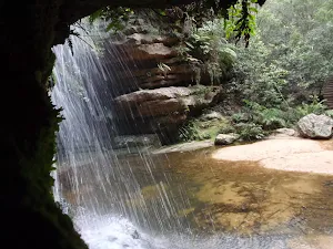
Moderate track
Golf Links Lookout from Gladstone Rd
752 m Return, 30 mins
Moderate track
Leura Cascades Circuit
844 m Circuit, 30 mins

Moderate track
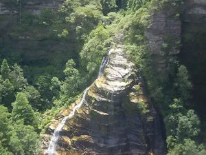
Bridal Veil View Lookout Leura
954 m Return, 30 mins

Moderate track
Flat Top
1 km Return, 30 mins
Moderate track
Lyrebird Dell and Pool of Siloam Circuit
1.4 km Circuit, 1 Hr
Moderate track
Leura Oval to End of Gladstone Rd
1.6 km One way, 1 Hr
Moderate track
Leura Cascades to Gordon Falls Reserve
1.8 km One way, 1 hr 15 mins
Moderate track
Hay Monolith
2 km Circuit, 1 Hr
Moderate track
Govetts Creek Lookout
2.9 km Return, 1 hr 30 mins
Moderate track
Leura Golf Course to Gladstone Lookout
2.9 km Return, 1 hr 30 mins
Moderate track
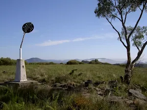
Mt Hay
3.1 km Return, 1 hr 45 mins
Hard track
Mt Hay and Hay Monolith
4.6 km Circuit, 2 hrs
Hard track
Leura to Katoomba via Dardanelles Pass
6.6 km One way, 4 hrs
Hard track
Lockley Pylon
6.8 km Return, 3 hrs 15 mins
Hard track
Fortress Ridge Trail
7.4 km Return, 3 hrs
Moderate track
Federal Pass Walking Track
8 km One way, 5 hrs
Hard track