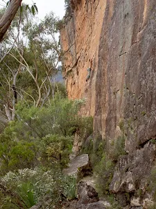
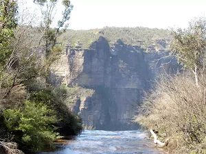
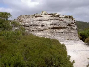
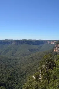
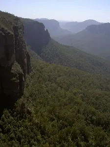
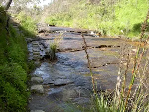
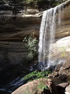
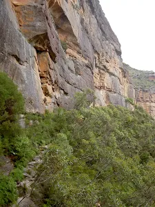
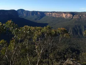
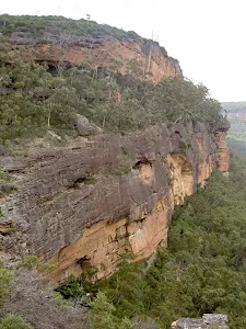
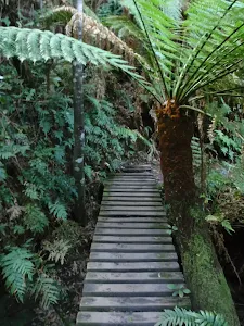
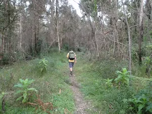
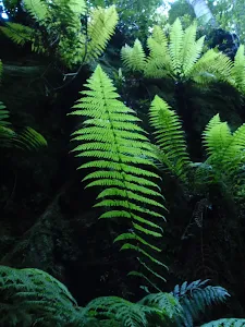
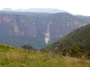
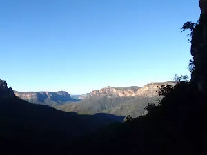
Bushwalking and hiking trails in Blue Mountains (Blackheath). Browse 48 walks with detailed track notes, maps and photos.
Victoria Falls Lookout
206 m Return, 15 mins
Moderate track
Wind Cave
400 m Return, 15 mins
Easy track
Anvil Rock
460 m Return, 15 mins
Moderate track
George Phillips Lookout walk
588 m Return, 30 mins
Very easy
Pulpit Rock car park to Top Lookout
630 m Return, 30 mins
Moderate track
Pulpit Rock car park to Middle Lookout
748 m Return, 30 mins
Moderate track
Pulpit Rock car park to lower Lookout
816 m Return, 45 mins
Hard track
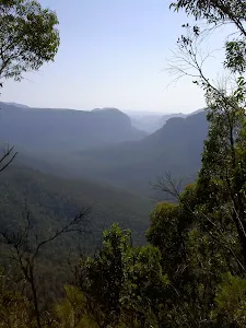
Govetts Leap Descent
1.2 km Return, 1 hr 45 mins
Hard track
Walls Ledge (Short)
1.4 km Circuit, 45 mins
Moderate track
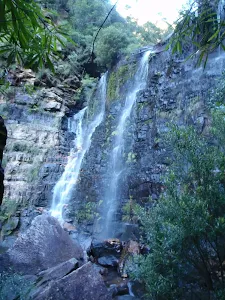
Govetts Leap Falls (Bridal Veil Falls)
1.4 km Return, 1 Hr
Hard track
Fort Rock
1.6 km Return, 1 Hr
Moderate track
Fairfax Heritage Track
1.9 km One way, 45 mins
Very easy
Walls Ledge (Long) Track
2.3 km One way, 1 hr 15 mins
Moderate track
Fairfax Heritage Circuit Track
2.4 km Circuit, 1 Hr
Very easy
Braeside Walk
2.5 km Return, 1 Hr
Hard track
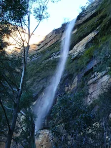
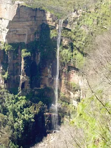
Victoria Falls
3.1 km Return, 2 hrs
Hard track
Collier's Causeway
3.1 km One way, 2 hrs
Hard track
Beauchamp Falls
3.1 km Return, 2 hrs
Hard track
Cliff Top Track
3.2 km One way, 1 hr 45 mins
Hard track
Pulpit Rock Track
3.8 km One way, 2 hrs 30 mins

Hard track
Pyramid Shaped Rock
4.2 km Return, 1 hr 30 mins
Moderate track
Pulpit Rock, Boyd Beach to Govetts Leap Lookout
4.2 km One way, 2 hrs 30 mins
Hard track
Perrys Lookdown to Blue Gum Forest
4.3 km Return, 4 hrs
Hard track
Walls Ledge, Porters Pass, Centennial Glen Circuit
5.4 km Circuit, 3 hrs 30 mins
Hard track
Grand Canyon Track
5.4 km Circuit, 3 hrs 30 mins
Hard track
Asgard Kiln and Mine
5.6 km Return, 2 hrs
Hard track
Evans Lookout, Horse Track to Beauchamp Falls
6.4 km Circuit, 4 hrs
Very experienced only
Thor Head
6.4 km Return, 2 hrs 30 mins
Very experienced only
Pulpit Rock to Evans Lookout Cliff Top Track
6.6 km One way, 4 hrs 15 mins
Hard track
Baltzer Lookout, Hanging Rock
7.6 km Return, 3 hrs 30 mins
Hard track
Perry's Lookdown to Lockley Pylon
8.1 km One way, 5 hrs 30 mins
Hard track
Govetts Leap Loop
8.7 km Circuit, 4 hrs 30 mins
Hard track
Braeside, Govetts and Pope's Glen Track
8.7 km Circuit, 3 hrs 30 mins
Hard track
Victoria Falls to Pierces Pass
8.9 km One way, 2 Days
Experienced only
Grand Canyon, Cliff Top and Braeside Walks
9.3 km Circuit, 4 hrs 30 mins
Hard track
Pierces Pass, Blue Gum Forest, Acacia Flats to Perrys Lookdown
10.4 km One way, 5 hrs 30 mins
Experienced only
Evans Lookout to Junction Rock
10.7 km Circuit, 6 hrs 30 mins
Hard track
Perry's Lookdown to Blackheath Station
12.8 km One way, 2 Days
Hard track
Popes Glen, Pulpit Rock, Govetts Leap and Braeside Walk
13.6 km Circuit, 8 hrs
Hard track
Victoria Falls Lookout to Blue Gum Forest
13.8 km One way, 8 hrs
Experienced only
Pierces Pass to Blue Gum Forest
14 km Return, 6 hrs 30 mins
Experienced only
Grand Canyon, Cliff Top and Pope's Glen Track
15.6 km Circuit, 7 hrs 30 mins
Hard track
Lockey Pylon to Blackheath Station
16.5 km One way, 2 Days
Hard track
Pierces Pass to Blackheath Station
17.6 km One way, 9 hrs
Experienced only
Blackheath Station to Junction Rock Loop (via Grand Canyon and Popes Glen)
18.2 km Circuit, 8 hrs 30 mins
Hard track
Victoria Falls to Blackheath Station
22.2 km One way, 2 Days
Experienced only
Victoria Falls and Grose Valley to Blackheath Station
22.5 km One way, 3 Days
Experienced only
Blackheath to Blue Gum loop
24.1 km Circuit, 2 Days
Hard track