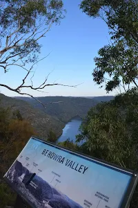
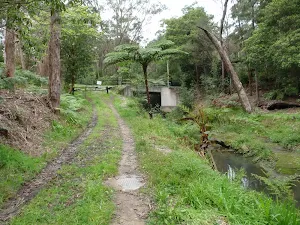
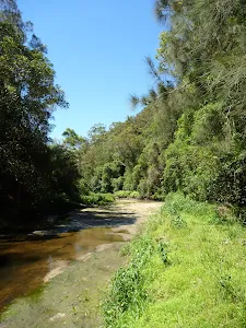
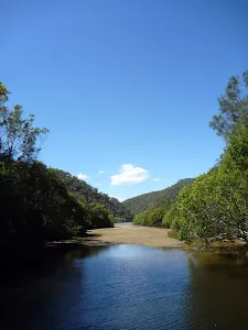
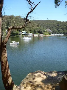
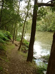
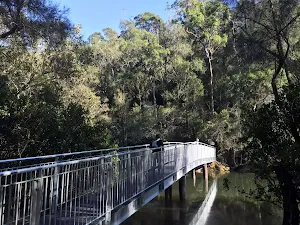
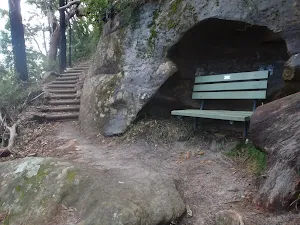
Bushwalking and hiking trails in Berowra Valley Regional Park. Browse 43 walks with detailed track notes, maps and photos.
Barnetts Lookout
420 m Return, 15 mins
Very easy
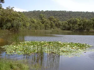
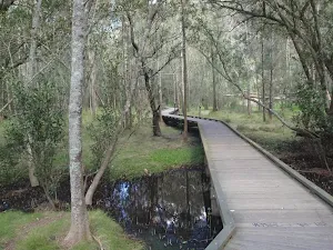
The Lakes of Cherrybrook loop
439 m Circuit, 15 mins

Moderate track
Clarinda St dog walking trail
499 m One way, 15 mins
Easy track
Daphne Place dog walking trail
515 m One way, 15 mins
Moderate track
Bellamy St to De Saxe Cl dog walking trail
529 m One way, 15 mins
Moderate track
Bellamy fire trail
619 m One way, 30 mins
Moderate track
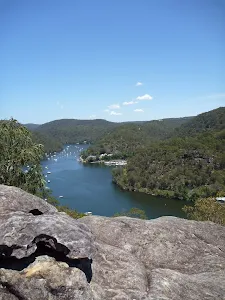
Elouera Lookout
828 m Return, 30 mins
Moderate track
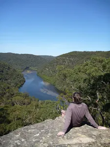
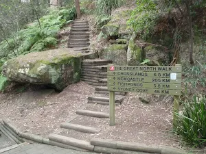
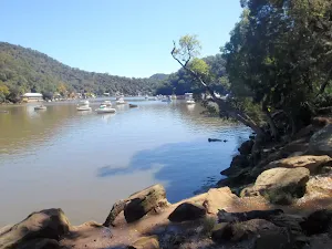
Crosslands to Berowra Creek Lookout
980 m Return, 30 mins
Very easy
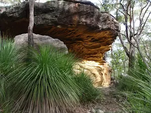
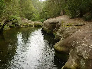
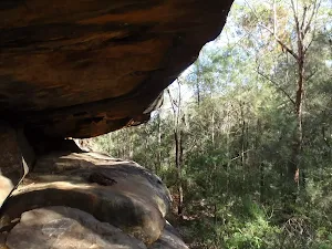
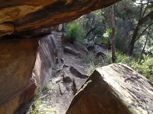
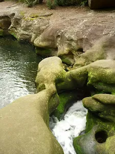
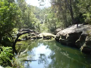
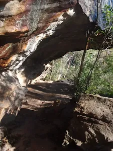
Refuge Rock and Natural Arch
1.4 km Return, 30 mins
Moderate track
Blackwattle Trail
2.2 km One way, 1 Hr
Moderate track
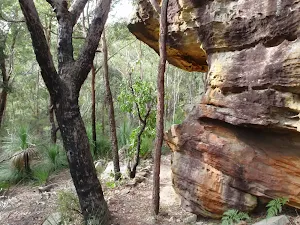
Callicoma caves
2.5 km Return, 1 hr 30 mins
Hard track
Cherrybrook to Refuge Rock
4.1 km One way, 1 hr 45 mins
Moderate track
Blue Gum Walk (Joe's Mountain Circuit)
4.2 km Circuit, 2 hrs
Hard track
Stringybark Ridge loop via Bellamy St
4.2 km Circuit, 1 hr 45 mins

Hard track
Cherrybrook to Thornleigh
4.4 km One way, 1 hr 45 mins
Moderate track
Callicoma Loop
5.1 km Circuit, 2 hrs
Hard track
Hornsby to Fishponds
5.6 km Return, 2 hrs 30 mins
Hard track
Berowra to Berowra Waters
5.7 km One way, 2 hrs 45 mins
Hard track
Stringybark Ridge and Zig Zag Creek loop from Thornleigh Station
6.6 km Circuit, 2 hrs 30 mins

Hard track
Hornsby Blue Gum Walk
6.7 km Circuit, 3 hrs
Hard track
Berowra Waters to Cowan Station
7.2 km One way, 3 hrs 30 mins
Hard track
Crosslands to Naa Badu Lookout return
8.2 km Return, 3 hrs 30 mins
Hard track
Wareemba Ave to Thornleigh Station
8.6 km One way, 3 hrs 45 mins
Hard track
Cherrybrook to Hornsby via Fishponds
9 km One way, 3 hrs 45 mins
Hard track
Mt Kuring-gai to Calna Creek
9.4 km Return, 4 hrs
Hard track
Hornsby to Galston Gorge
9.7 km One way, 4 hrs
Hard track
Mt Kuring-gai Track to Berowra station
9.7 km One way, 4 hrs 15 mins
Hard track
Thornleigh to Hornsby
10.2 km One way, 4 hrs

Hard track
Galston Gorge to Mt Kuring-gai
12.6 km One way, 5 hrs 30 mins
Hard track
Berowra to Cowan via Berowra Waters
12.9 km One way, 6 hrs
Hard track
Galston Gorge to Berowra Station
12.9 km One way, 5 hrs 30 mins
Hard track
Crosslands to Berowra Waters return
13.7 km Return, 6 hrs
Hard track
Crosslands to Cowan
14 km One way, 7 hrs 30 mins
Hard track
Thornleigh to Galston Gorge
15.5 km One way, 6 hrs
Hard track
Hornsby station to Crosslands
16.1 km One way, 6 hrs 45 mins
Hard track
Mt Kuring-gai to Cowan (via Berowra Waters)
17.2 km One way, 8 hrs
Hard track
Hornsby to Mt Kuring-gai
22.3 km One way, 9 hrs
Hard track
Berowra to Hornsby
22.6 km One way, 9 hrs 18 mins
Hard track
Crosslands to Brooklyn
27.4 km One way, 2 Days
Hard track
Thornleigh to Mt Kuring-Gai
28.1 km One way, 2 Days
Hard track
Thornleigh to Cowan
35.9 km One way, 2 Days
Hard track
Hornsby to Brooklyn three day walk
43.1 km One way, 3 Days
Hard track